
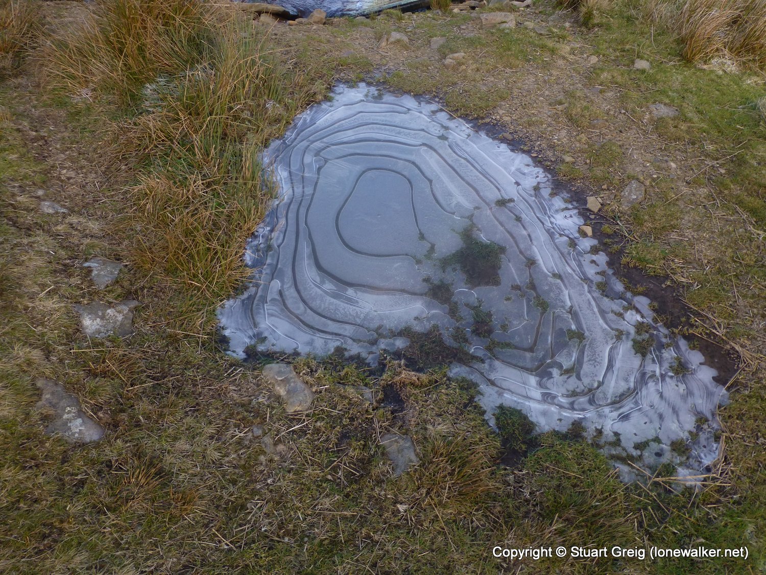
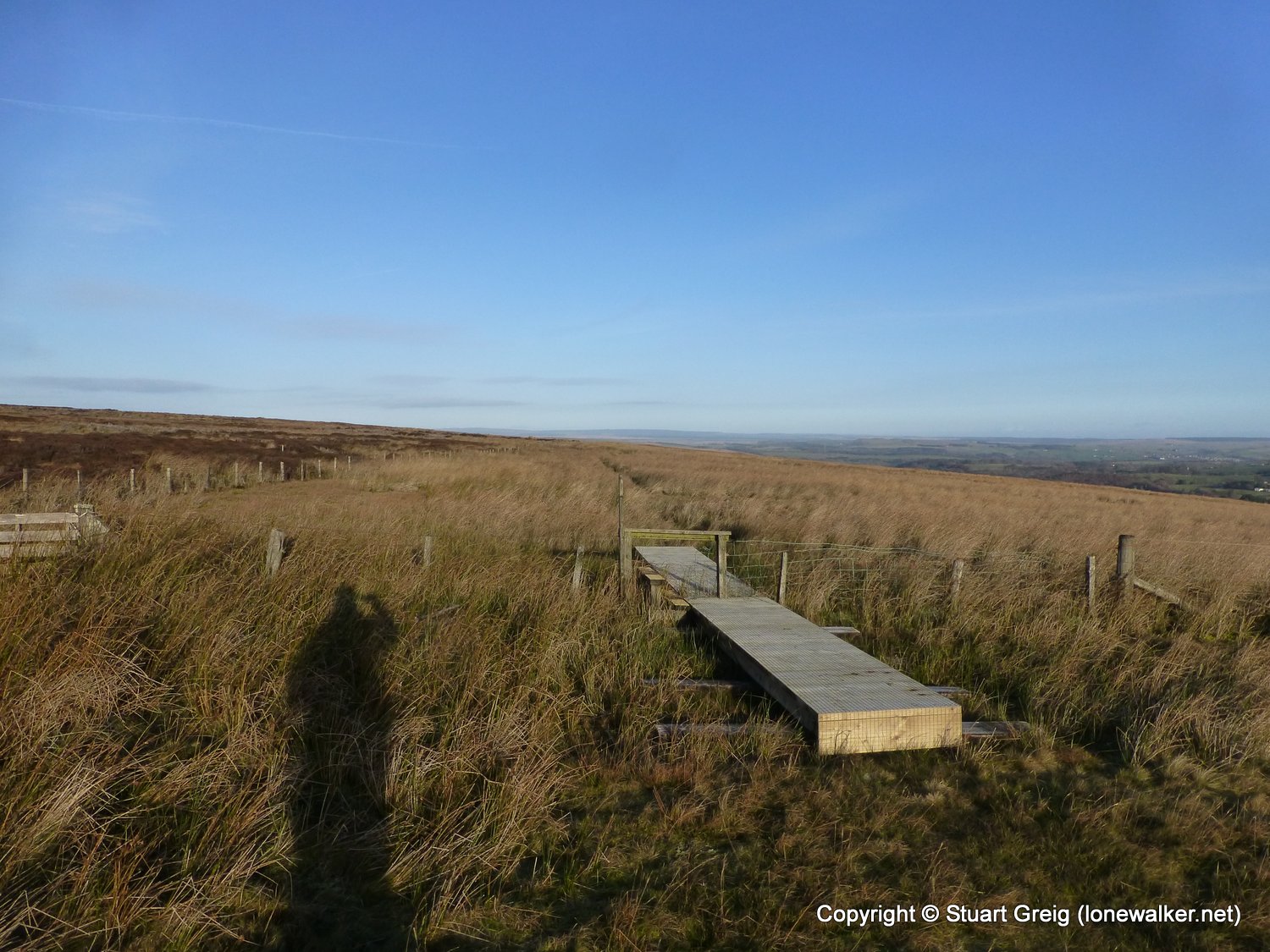
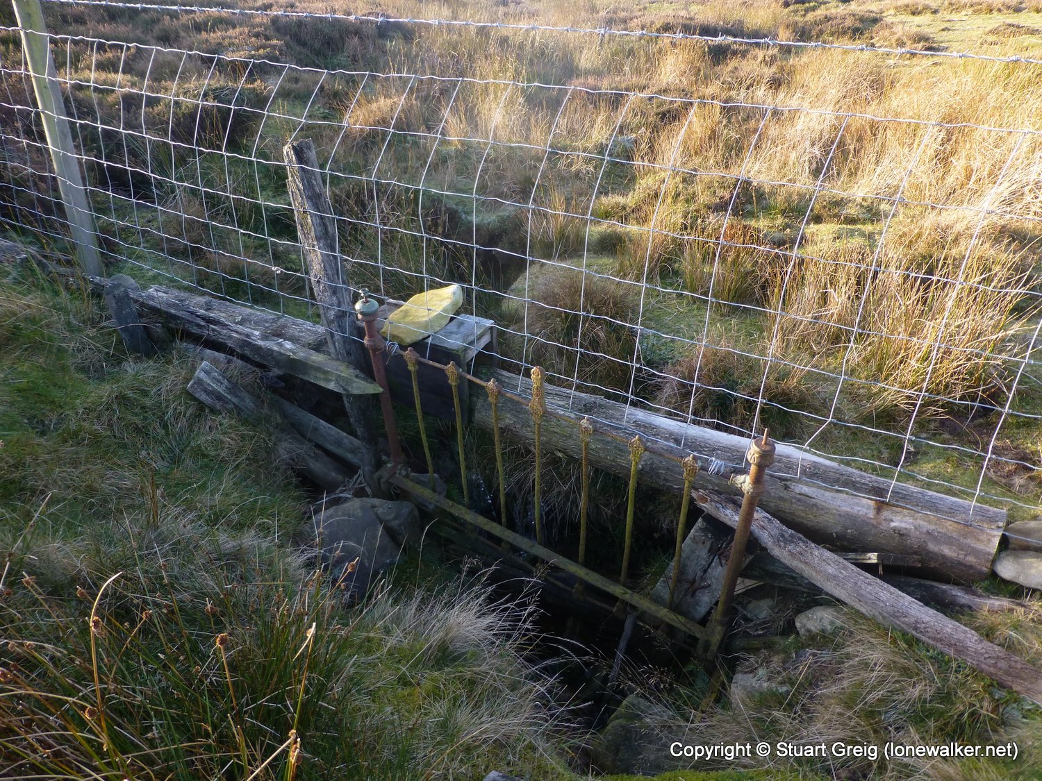
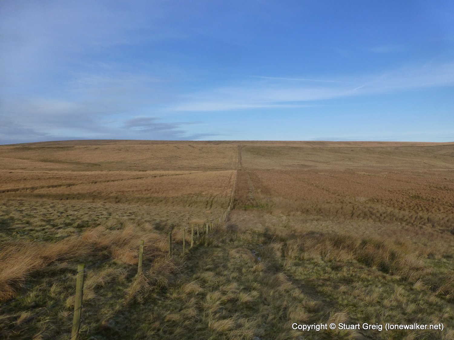
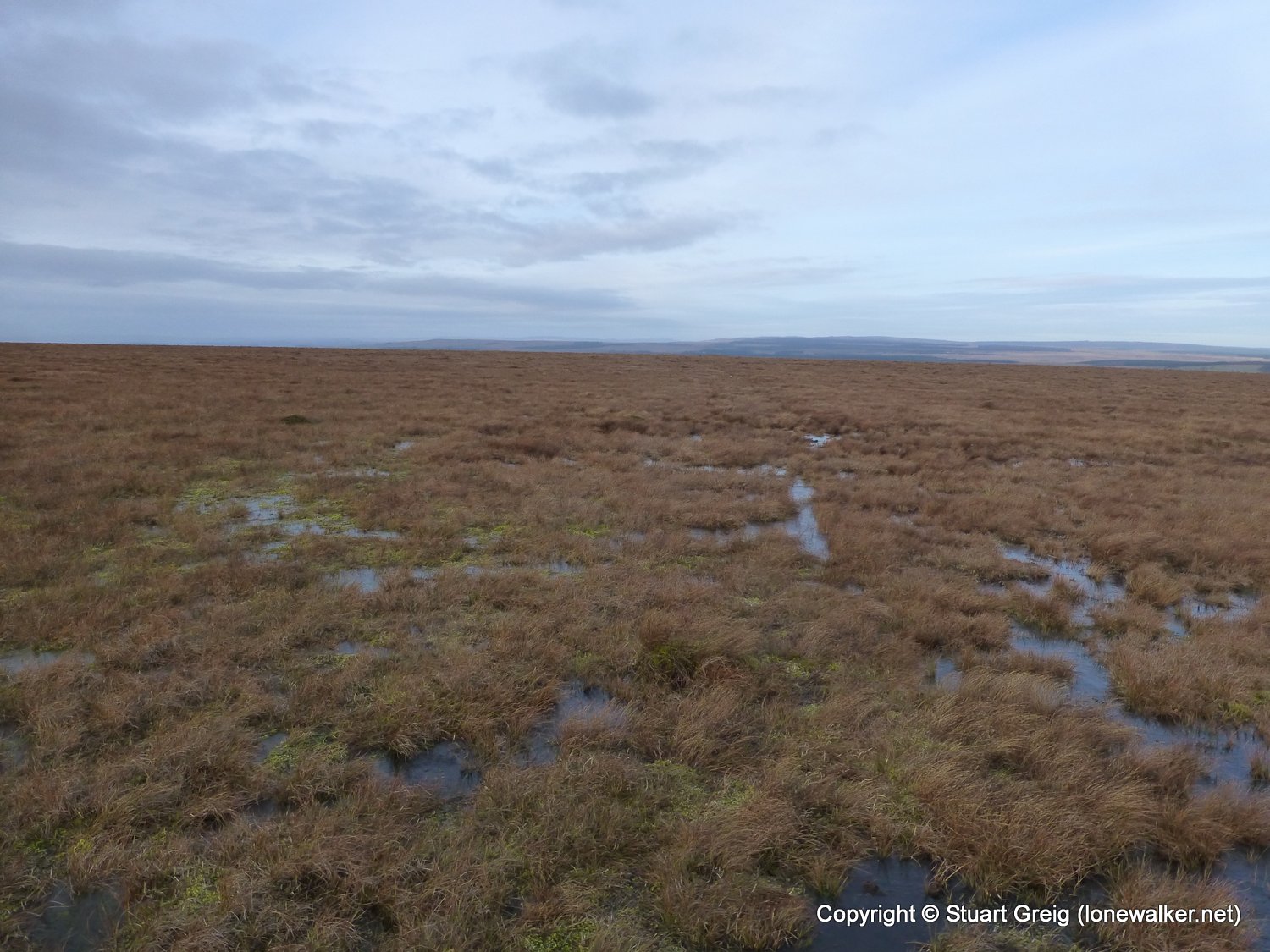
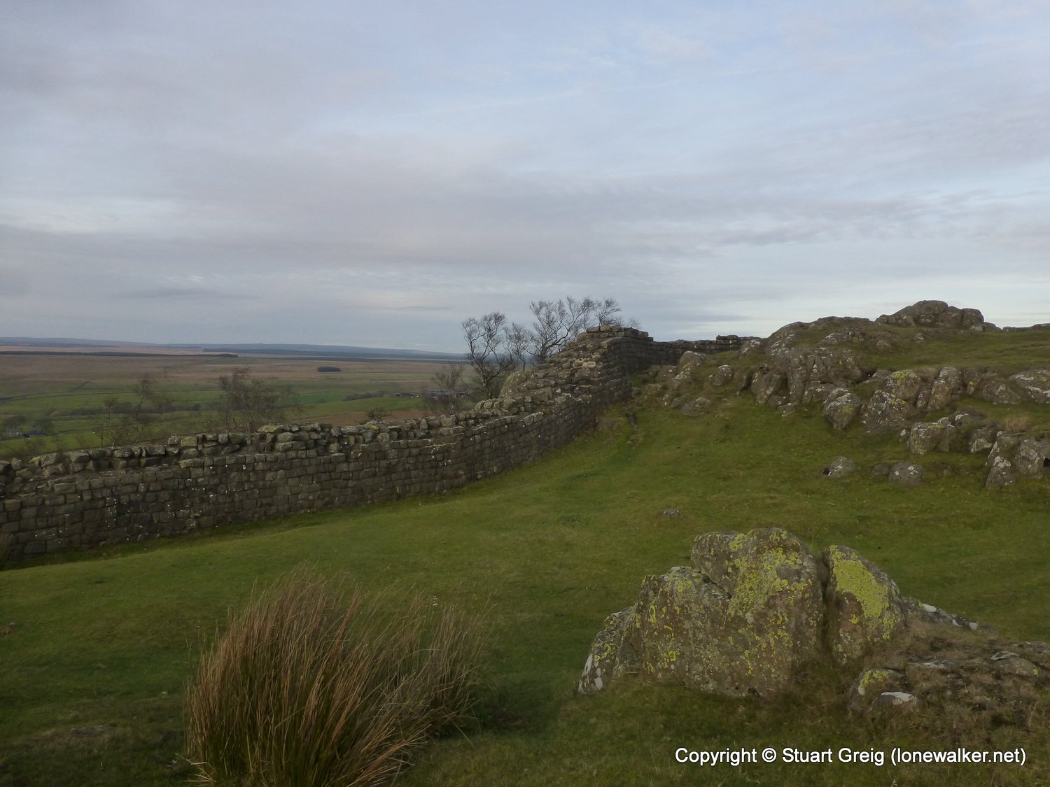
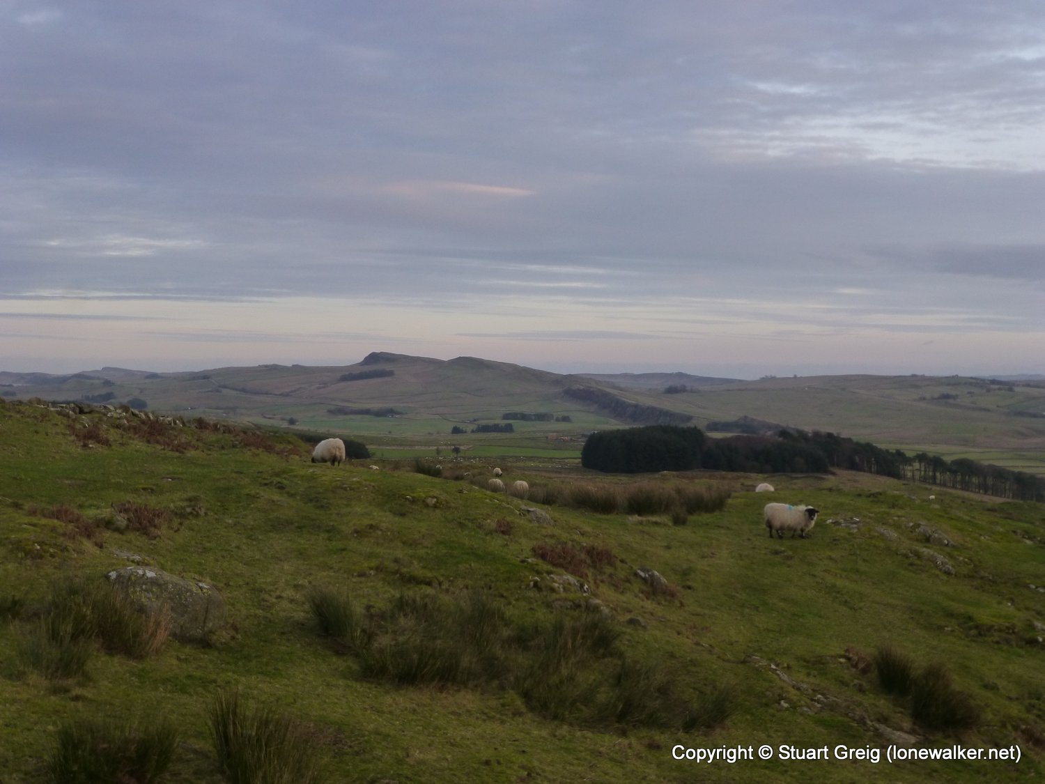
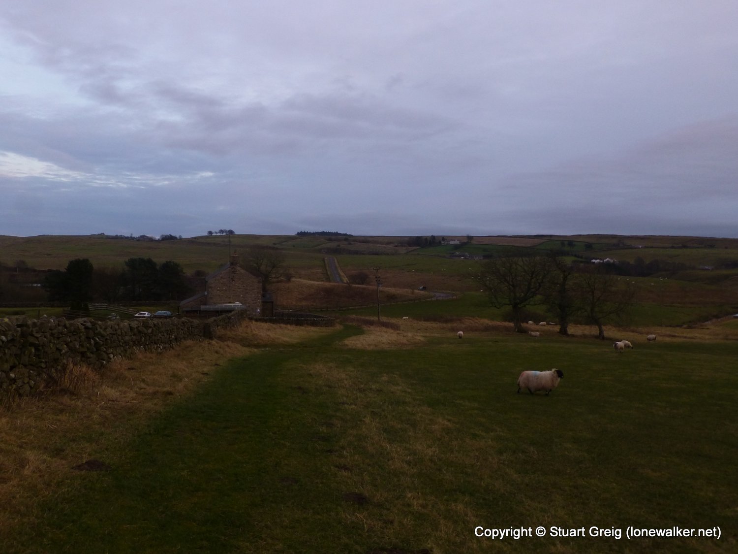
By far and away the best day of these four, wonderfully cold and clear in the morning, clouding over as the day went, but lots of frozen sections helped the underfoot conditions. The worst section of bogs anywhere on the Pennine Way in the Wain Rigg, Blenkinsopp Common area - we need duckboards here!! The wall was empty and I arrived just as the sun was setting - I love this walking in winter lark!
Date: 2013-12-06
Start: Knarsdale Finish: Burnhead
Distance: 15.0 mls, 24.14 km
Height Gain: 1900 ft, 579.1 m
Start Time: 10:30 End Time: 15:40
Duration: 05:10
Ave Speed: 2.3 mph
Region: Northern Pennines
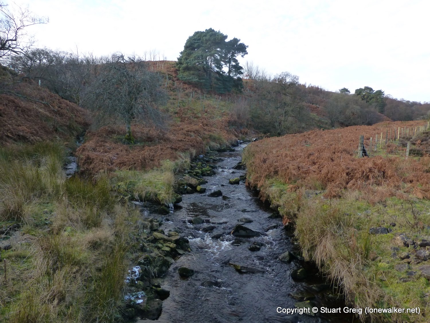
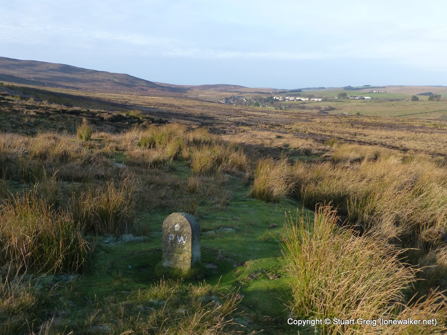
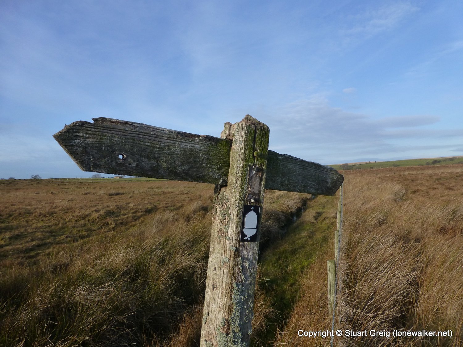
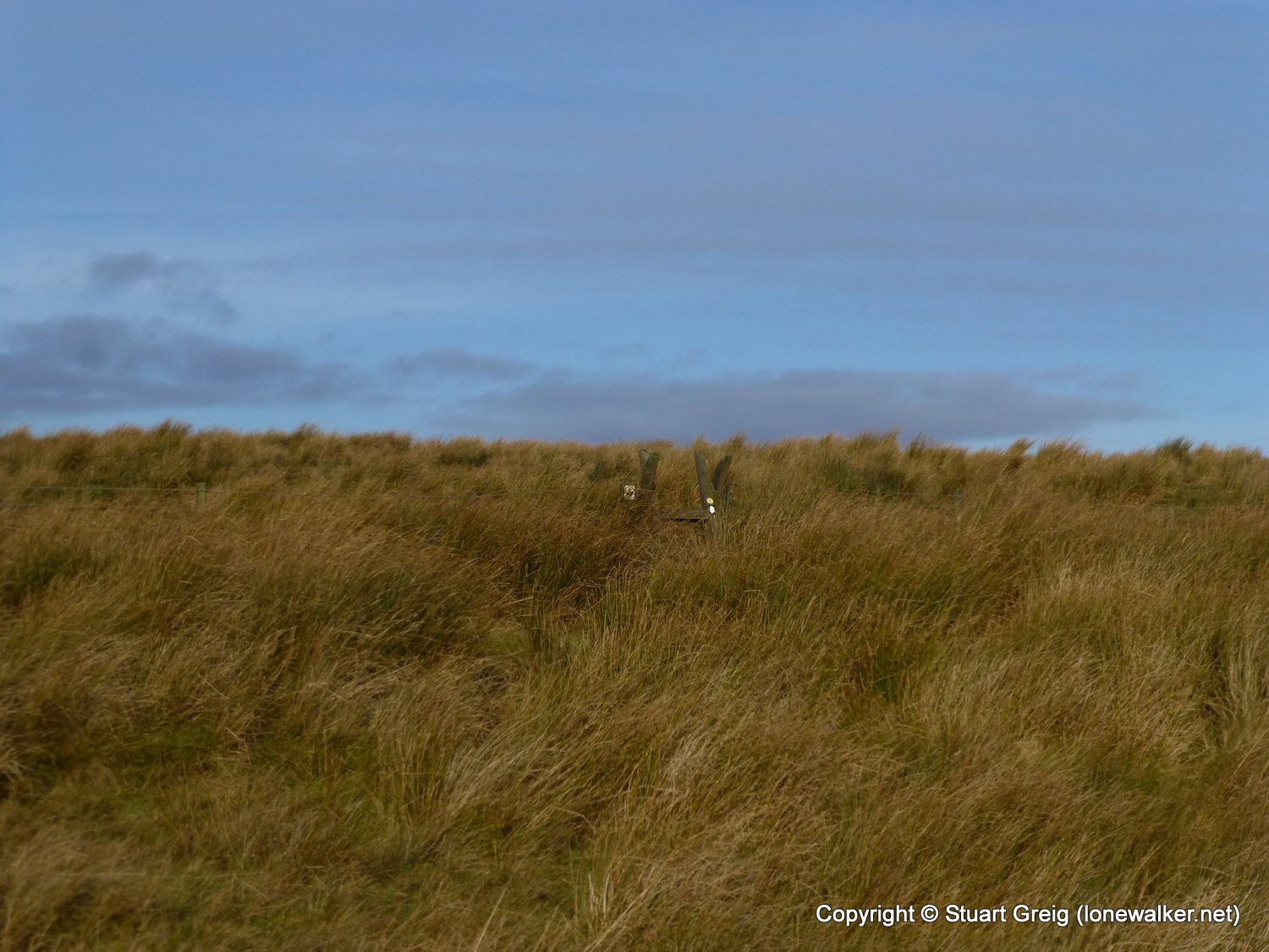
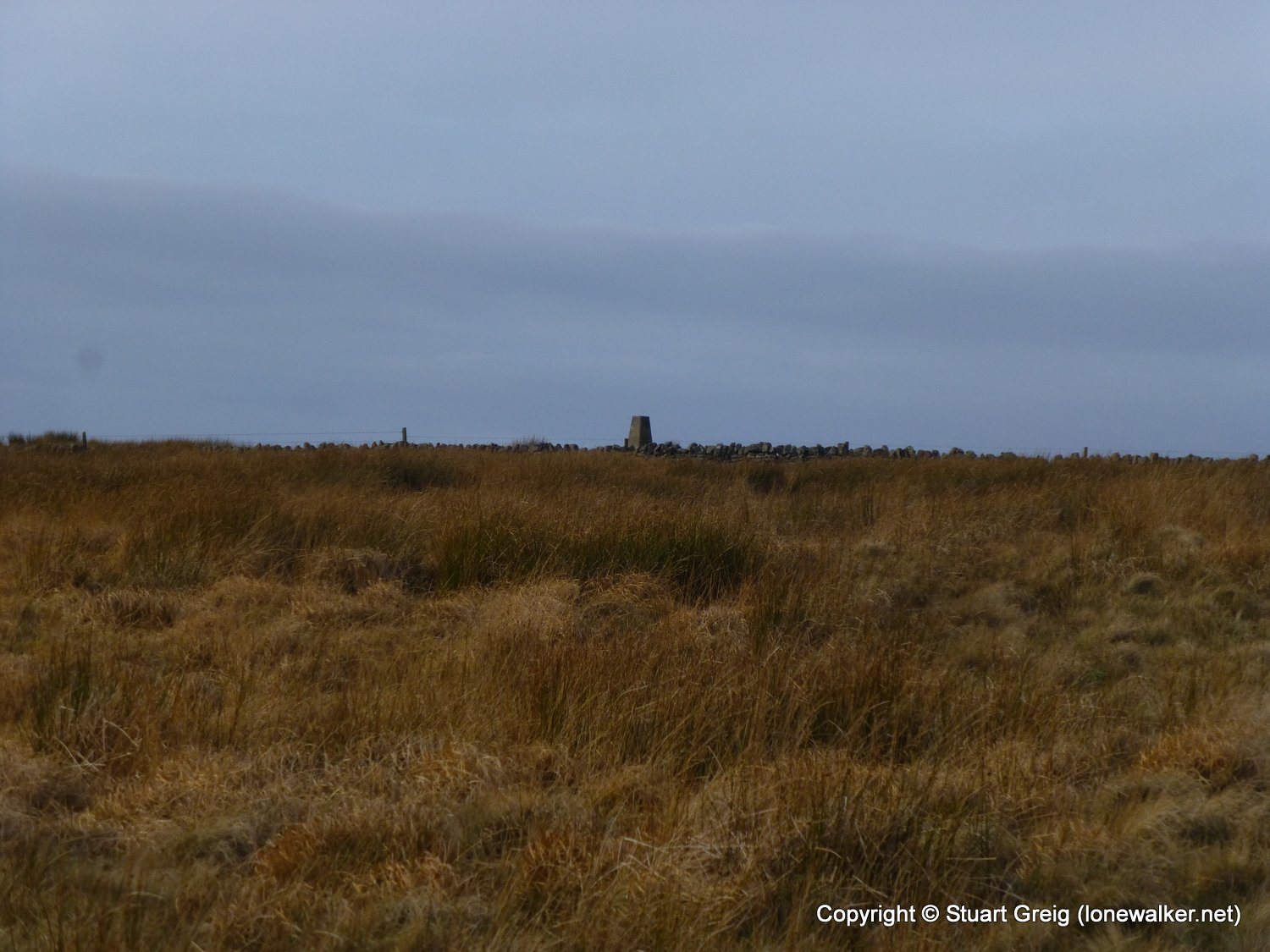
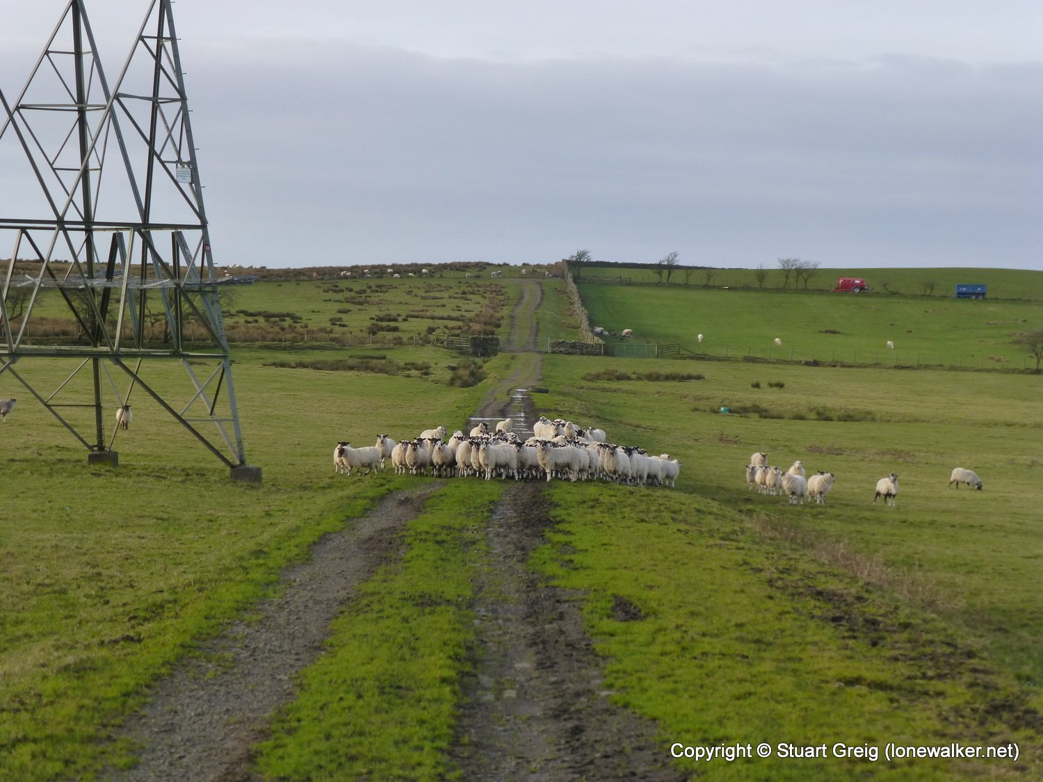
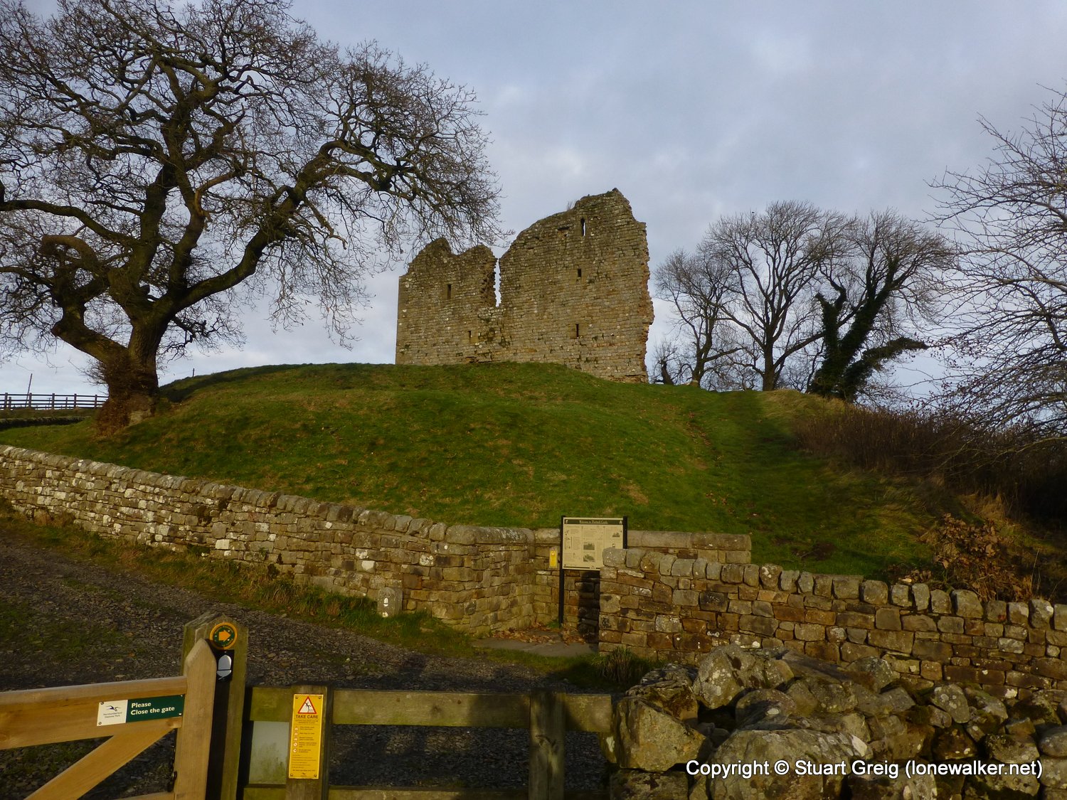
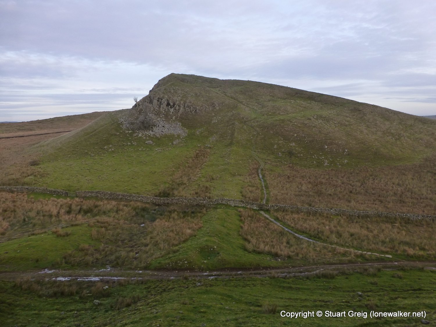
Route Description: Knarsdale, Lambley Common, Batey Shield, Round Hill, Wain Rigg, Blenkinsopp Common, Greenhead Cleugh, Thirlwall Castle, Hadrian's Wall, Aesica, Burnhead
Parking Grid Ref:
View Parking space in: OS Map or Google Street View
Walking with: Alone
Long Distance Path: Pennine Way
Link to full Walk Report: https://lonewalker.net/knarsdale-to-burnhead-on-the-wall/
Download GPX file for this walk:
If your browser opens the file directly, right click and "Save As.."
Click any image to open the full screen photo gallery
Walk Name: Garrigill to Knarsdale
Date: 2013-12-05
Distance: 10.8 mls, 17.38 km
Height Gain: 700 ft, 213.4 m
Walk Name: Burnhead to Bardon Mill
Date: 2013-12-07
Distance: 7.5 mls, 12.07 km
Height Gain: 1200 ft, 365.8 m