
By far and away the best day of the four, with good sunshine and and warm even from the start. The climb up to Byrness Hill is interesting and I stopped at the top to change almost all my clothes as it was so warm. Chris had managed to get his rucksack transported to Barrowburn and he offered to carry my pack for a couple of hours in the middle of the day - I'm glad he did too, as the height gain today really hurt. I found myself crawling slowly up the bigger climbs. The descent from Windy Gyle down to Barrowburn was excellent, with some wonderful views along a mostly great track, until the tarmac. Barrowburn's Deer Hut is excellent too - a great place to base yourself for the Cheviots. A grand day!
Date: 2014-04-15
Start: Byrness Finish: Barrowburn
Distance: 16.8 mls, 27.04 km
Height Gain: 2900 ft, 883.9 m
Start Time: 09:10 End Time: 17:50
Duration: 08:40
Ave Speed: 1.9 mph
Region: Northumberland
Route Description: Byrness, Byrness Hill, Chew Green, Lamb Hill, Beefstand Hill, Mozie Law, Windy Gyle, Trows Law, Trows, Rowhope Burn, Barrowburn
Parking Grid Ref:
View Parking space in: OS Map or Google Street View
Walking with: Chris Pilgrim
Long Distance Path: Pennine Way
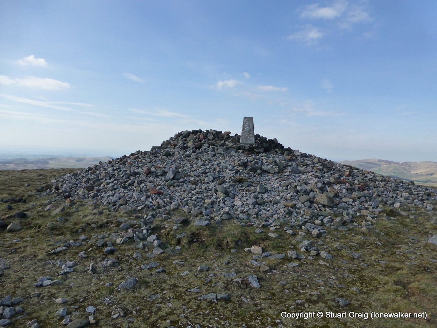
2308 - Windy Gyle (2031 ft)
3545 - Beefstand Hill (1844 ft)
3553 - Ravens Knowe (1729 ft)
7378 - Mozie Law (1811 ft)
7677 - Windy Rig (1841 ft)
7682 - Lamb Hill (1677 ft)
Click any image to open the full screen photo gallery


Walk Name: Bellingham to Byrness
Date: 2014-04-14
Distance: 15.7 mls, 25.27 km
Height Gain: 1900 ft, 579.1 m
Walk Name: Barrowburn to Kirk Yetholm
Date: 2014-04-16
Distance: 15.7 mls, 25.27 km
Height Gain: 3100 ft, 944.9 m