
It always felt like it was going to rain today although it never did other than a few spots here and there. Slow going over Great Shunner Fell, despite managing to leave most of our kit in the bunkbarn until we come back and collect it in the cars later. A great end to a good four days and great to catch up with Rob again.
Date: 2014-05-06
Start: Hardraw Finish: Keld
Distance: 11.2 mls, 18.02 km
Height Gain: 2500 ft, 762.0 m
Start Time: 06:40 End Time: 12:40
Duration: 06:00
Ave Speed: 1.9 mph
Region: Yorkshire Dales
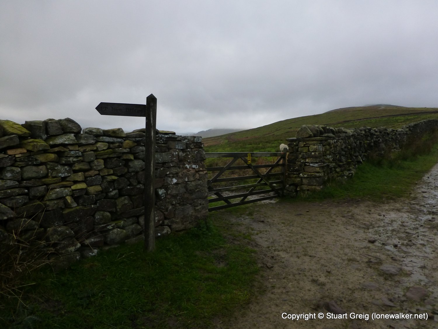
Route Description: Hardraw, Bluebell Hill, Hearn Top, Great Shunner Fell, Blackburn Edge, Thwaite, Kisdon, Keld
Parking Grid Ref:
View Parking space in: OS Map or Google Street View
Walking with: Rob Powell
Long Distance Path: Herriot Way
2716 - Great Shunner Fell (2349 ft)
TP3468 - Great Shunner Fell (Good condition)
Click any image to open the full screen photo gallery


Walk Name: Lady Hill to Hardraw
Date: 2014-05-05
Distance: 13.2 mls, 21.24 km
Height Gain: 1000 ft, 304.8 m
Walk Name: Harry Hut & Featherbed Top
Date: 2014-05-17
Distance: 10.9 mls, 17.54 km
Height Gain: 1800 ft, 548.6 m