
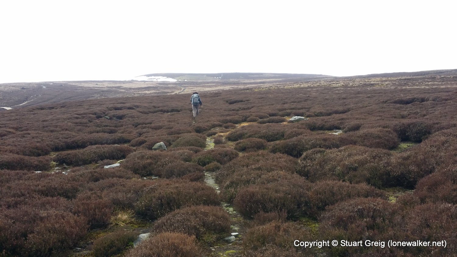
Easy start to the day through the lower reaches of Wensleydale, across pastures, green fields and through scenic villages. We begged a bag drop at the Aysgarth Falls Hotel and unencumbered apart from a half filled pack, which we shared all day, we fairly scampered up Wasset Fell, onto the long boggy slog across Naughtberry Hill and over the badly eroded Buckden Pike. The wind was relentless today and if it had not been at our backs the day would have been impossible. The decision not to camp on Buckden Pike was sound, there was little shelter and so we descended to Kettlewell using the same route we used a couple of weeks ago. The route over Great Whernside will wait for better weather and stronger legs!
Date: 2015-03-21
Start: Apedale Finish: Kettlewell
Distance: 18.0 mls, 28.97 km
Height Gain: 2600 ft, 792.5 m
Start Time: 07:40 End Time: 15:30
Duration: 07:50
Ave Speed: 2.3 mph
Region: Yorkshire Dales
Route Description: Apedale, Castle Bolton, West Bolton, Carperby, Aysgarth, West Burton, Newbiggin, Wasset Fell, Naughtberry Hill, Buckden Pike, Tor Mere Top, Cam Head, Top mere Road, Kettlewell
Parking Grid Ref:
View Parking space in: OS Map or Google Street View
Walking with: Chris Pilgrim
Long Distance Path: Centurion Walk
3613 - Naughtberry Hill (1880 ft)
2782 - Buckden Pike (2303 ft)
2794 - Tor Mere Top (2056 ft)
TP1744 - Buckden Pike (Slightly damaged condition)
Click any image to open the full screen photo gallery


Walk Name: Tan Hill Inn to Apedale
Date: 2015-03-20
Distance: 16.7 mls, 26.88 km
Height Gain: 2100 ft, 640.1 m
Walk Name: Horton to Sedbergh
Date: 2015-04-02
Distance: 22.6 mls, 36.37 km
Height Gain: 3900 ft, 1188.7 m