
One of the best (and one of the most tiring) walks I have done for a couple of years. The weather was superb, sandwiched in between two awful days, no rain, no wind and sun most of the day. The ascent of Ingleborough was simple, the long gradient makes it an easy walk out of Horton, the views from the top were sublime. The tranquillity on the summit smashed by a loud party of 3-peakers. The ascent of Whernside was as tough as ever, a relentless series of calf-bursting climbs and three false summits. The views again were awesome - across to Lakeland and Cross Fell. The descent via the Tarns is great and the path down into Dent beats the one that skirts the slopes of Great Coum hands-down. A long lunch in Dent made for a late arrival in Sedbergh and the last few miles hurt quite a lot! Great days walking though!
Date: 2015-04-02
Start: Horton-in-Ribblesdale Finish: Sedbergh
Distance: 22.6 mls, 36.37 km
Height Gain: 3900 ft, 1188.7 m
Start Time: 07:10 End Time: 18:15
Duration: 11:05
Ave Speed: 2.0 mph
Region: Yorkshire Dales
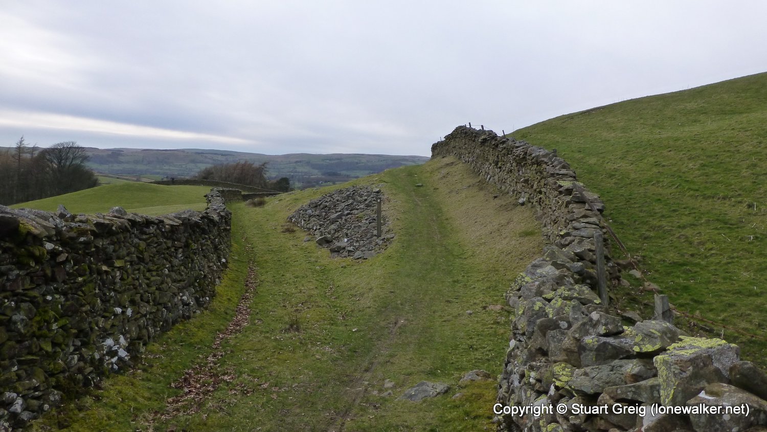
Route Description: Horton, Sulber Nick, Simon Fell Breast, Ingleborough, Chapel-le-Dale, Ellerbeck, Whernside, Whernside Tarns, Boot of the Wold, Cage Farm, Dent, Brackensgill, Millthrop, Sedbergh
Parking Grid Ref: SD 80752 72586
View Parking space in: OS Map or Google Street View
Walking with: Chris Pilgrim
Long Distance Path:
TP4102 - Ingleborough (Good condition)
TP0702 - Little Whernside (Damaged condition)
Click any image to open the full screen photo gallery


")


Walk Name: Apedale to Kettlewell
Date: 2015-03-21
Distance: 18.0 mls, 28.97 km
Height Gain: 2600 ft, 792.5 m
Walk Name: Portpatrick to Stranraer
Date: 2015-05-03
Distance: 10.0 mls, 16.09 km
Height Gain: 1300 ft, 396.2 m