
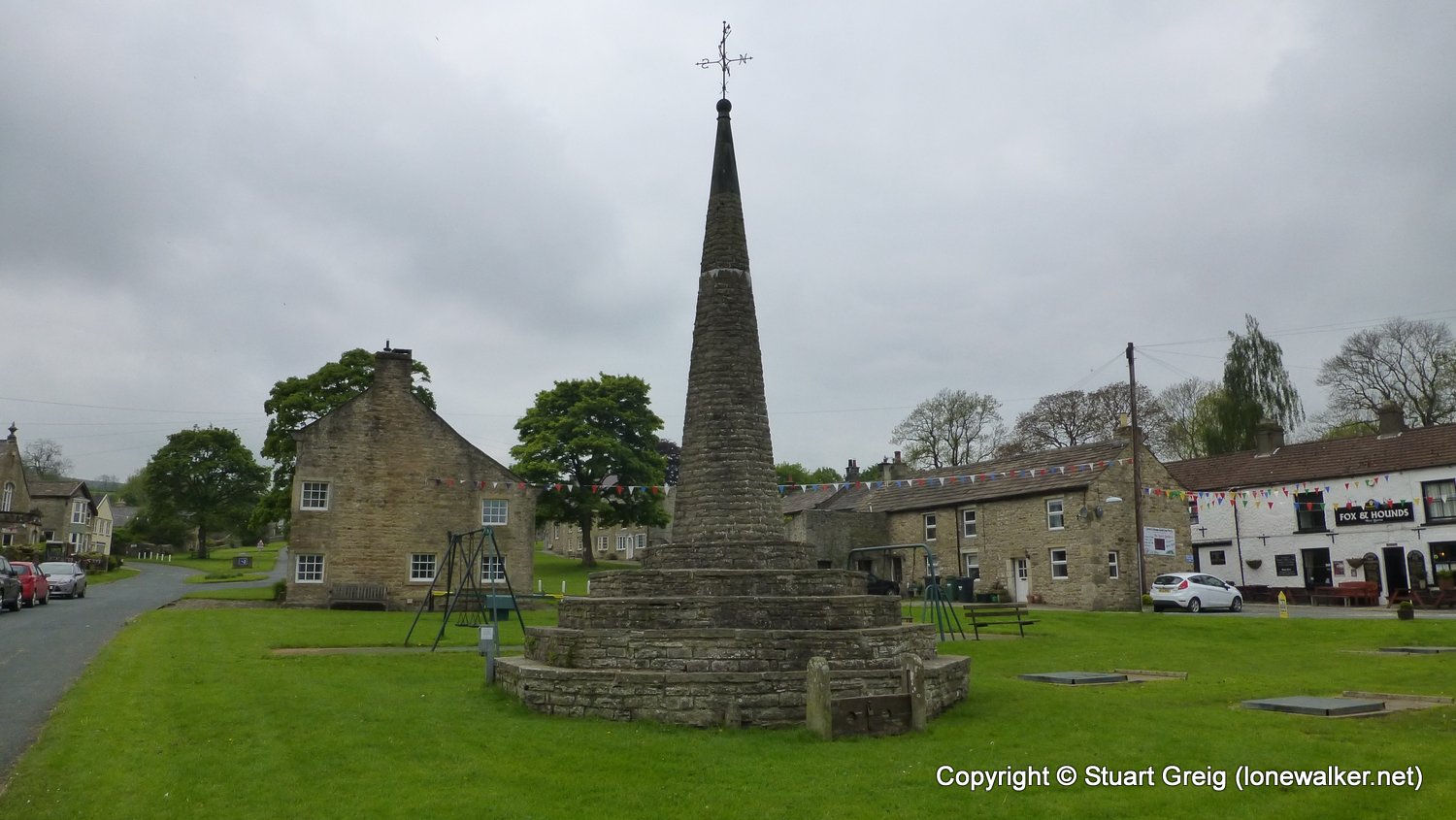
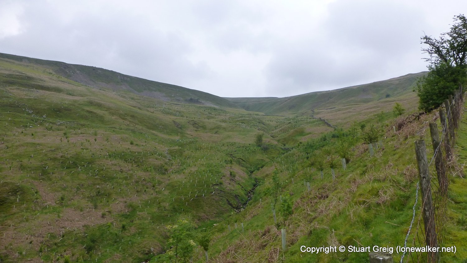
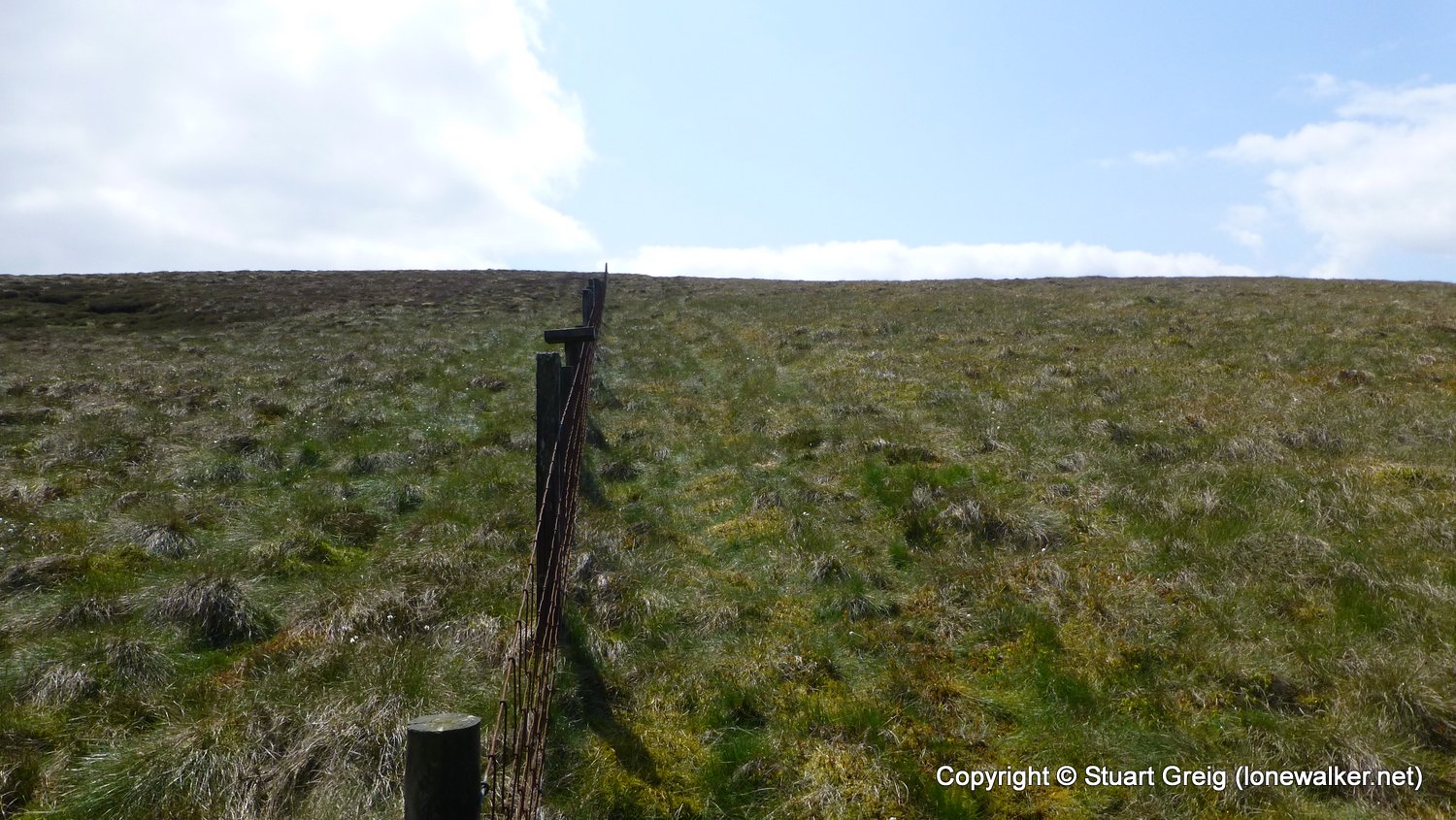
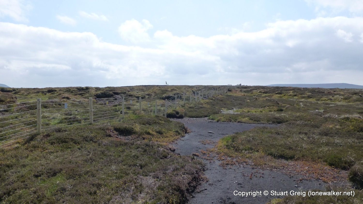
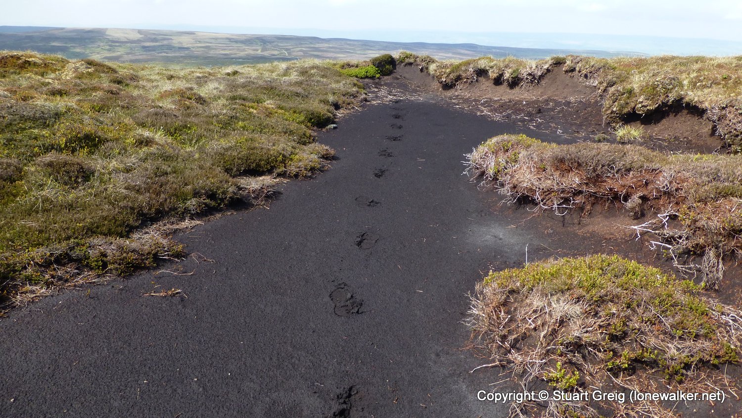
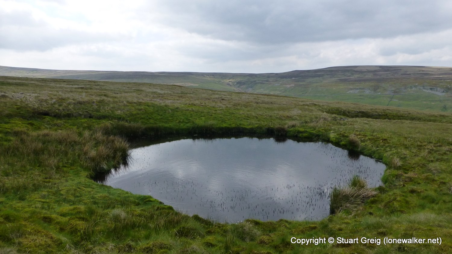
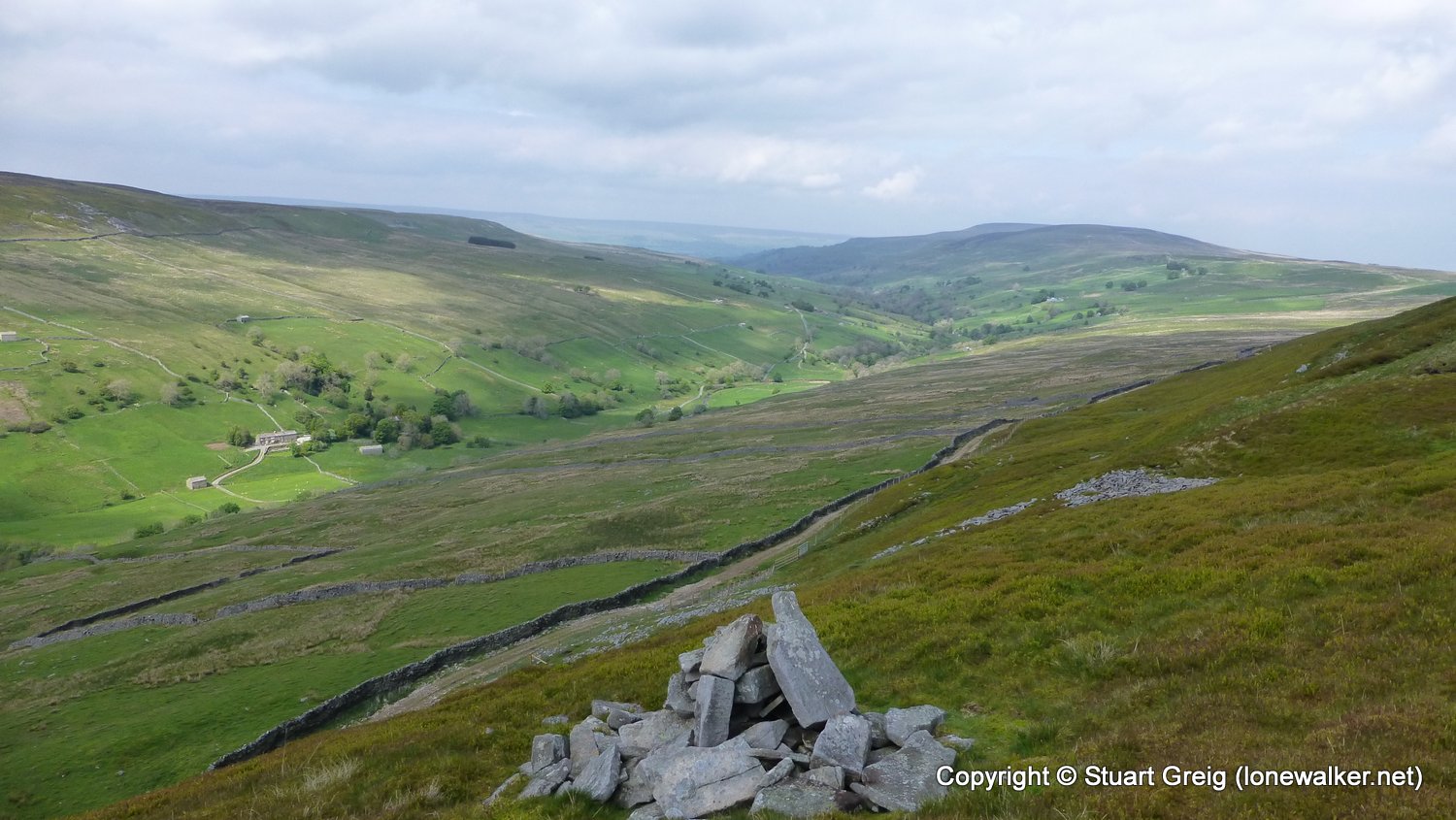
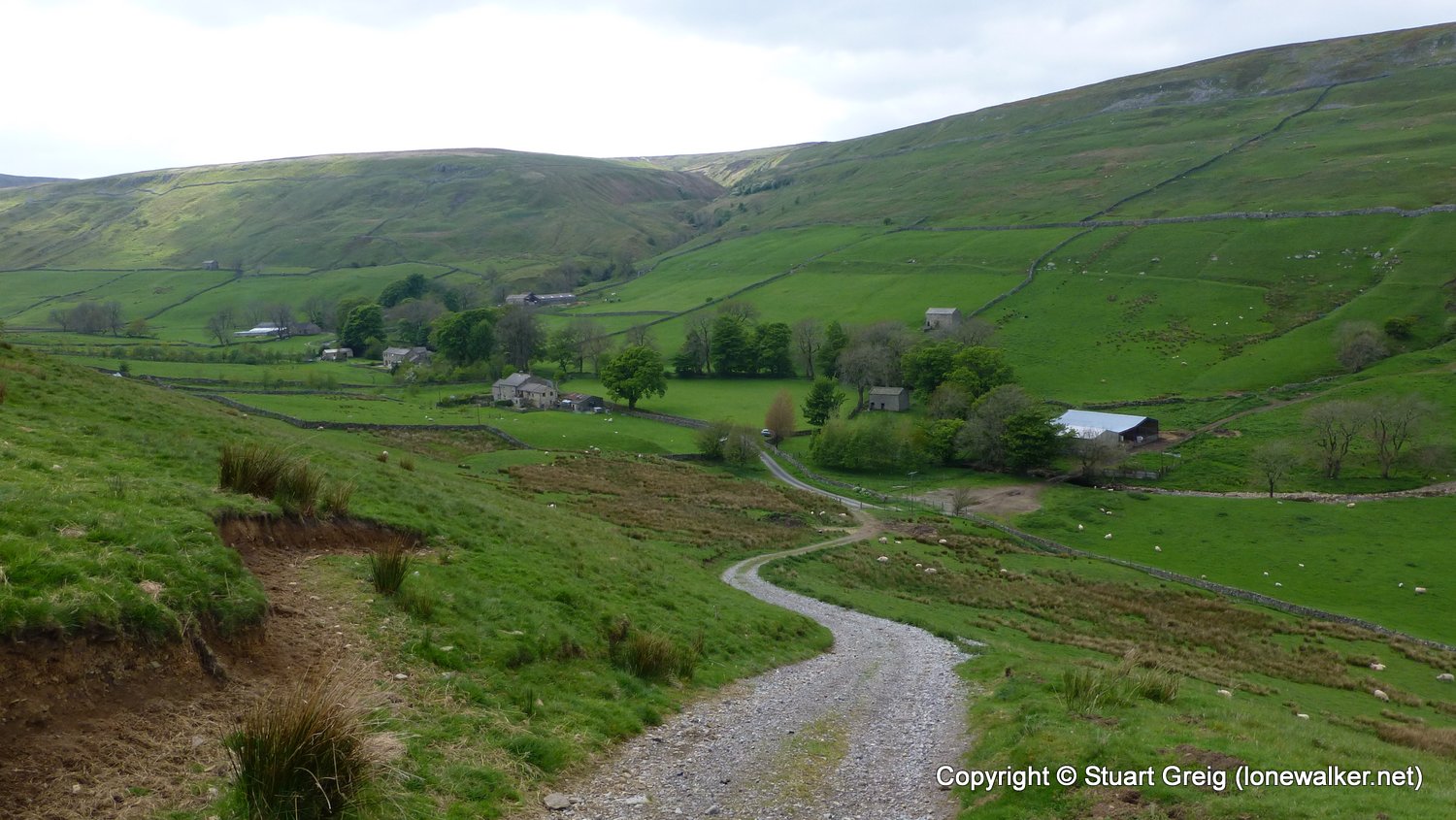
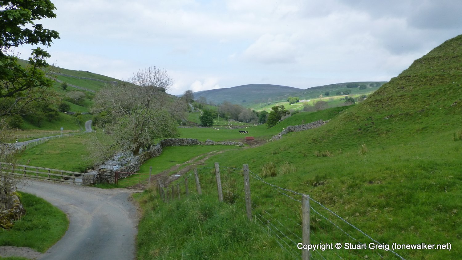
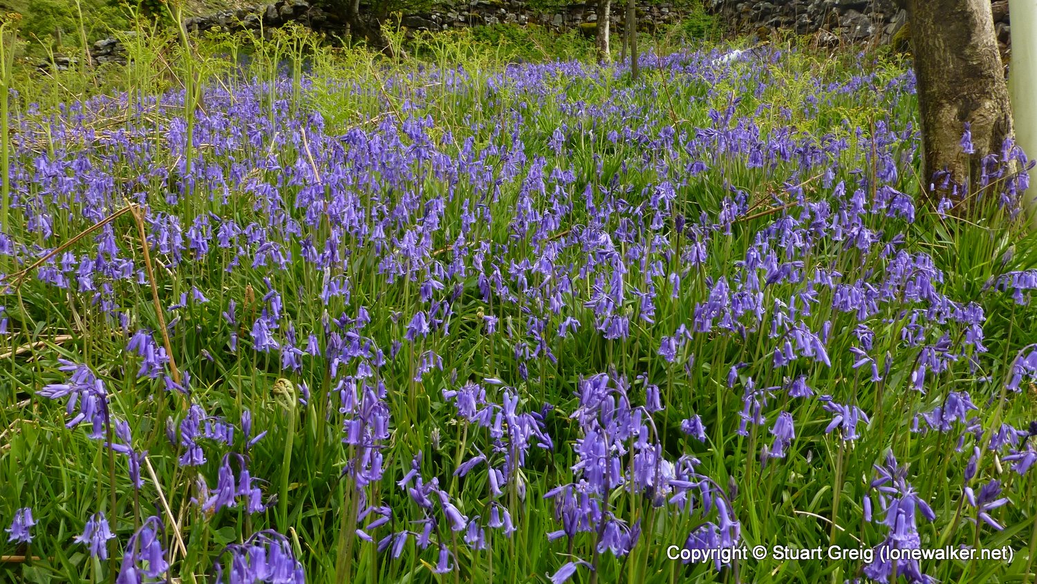
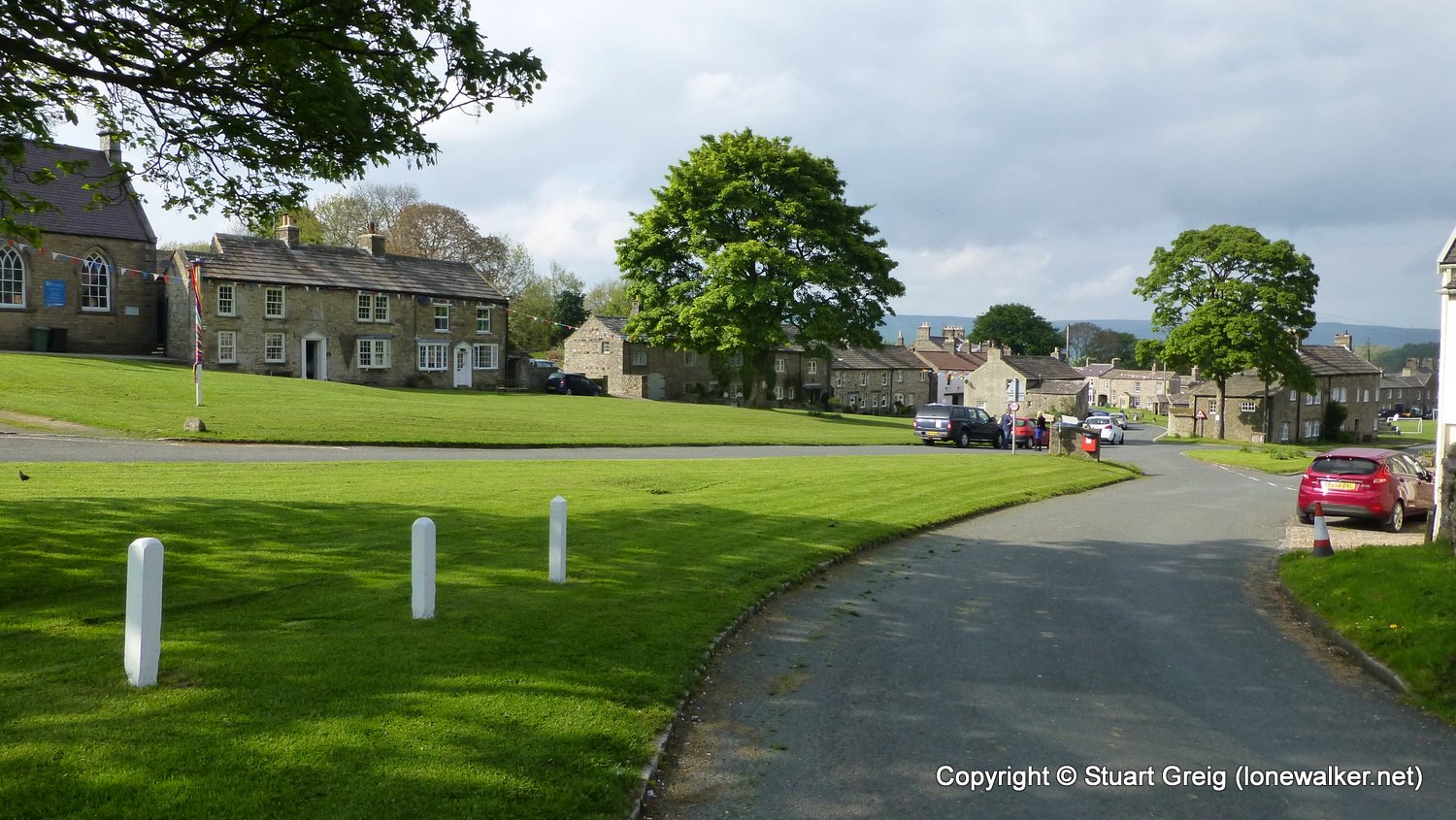
Wonderful to be out on the hills again - my first solo walk since I did the Alternative Dales Way walk in September last year! Cloudy to begin, but warm and eventually the sun came out as I approached Brown Haw and that made all the difference. Wet and squelchy on the tops and too much pavement on the way back to West Burton made for wet and sore feet, but loved every step of it. Tea in the Fox & Hounds in the village and then a car camp above Askrigg for the night.
Date: 2016-05-27
Start: West Burton Finish: West Burton
Distance: 12.0 mls, 19.31 km
Height Gain: 2200 ft, 670.6 m
Start Time: 11:50 End Time: 17:10
Duration: 05:20
Ave Speed: 2.2 mph
Region: Yorkshire Dales
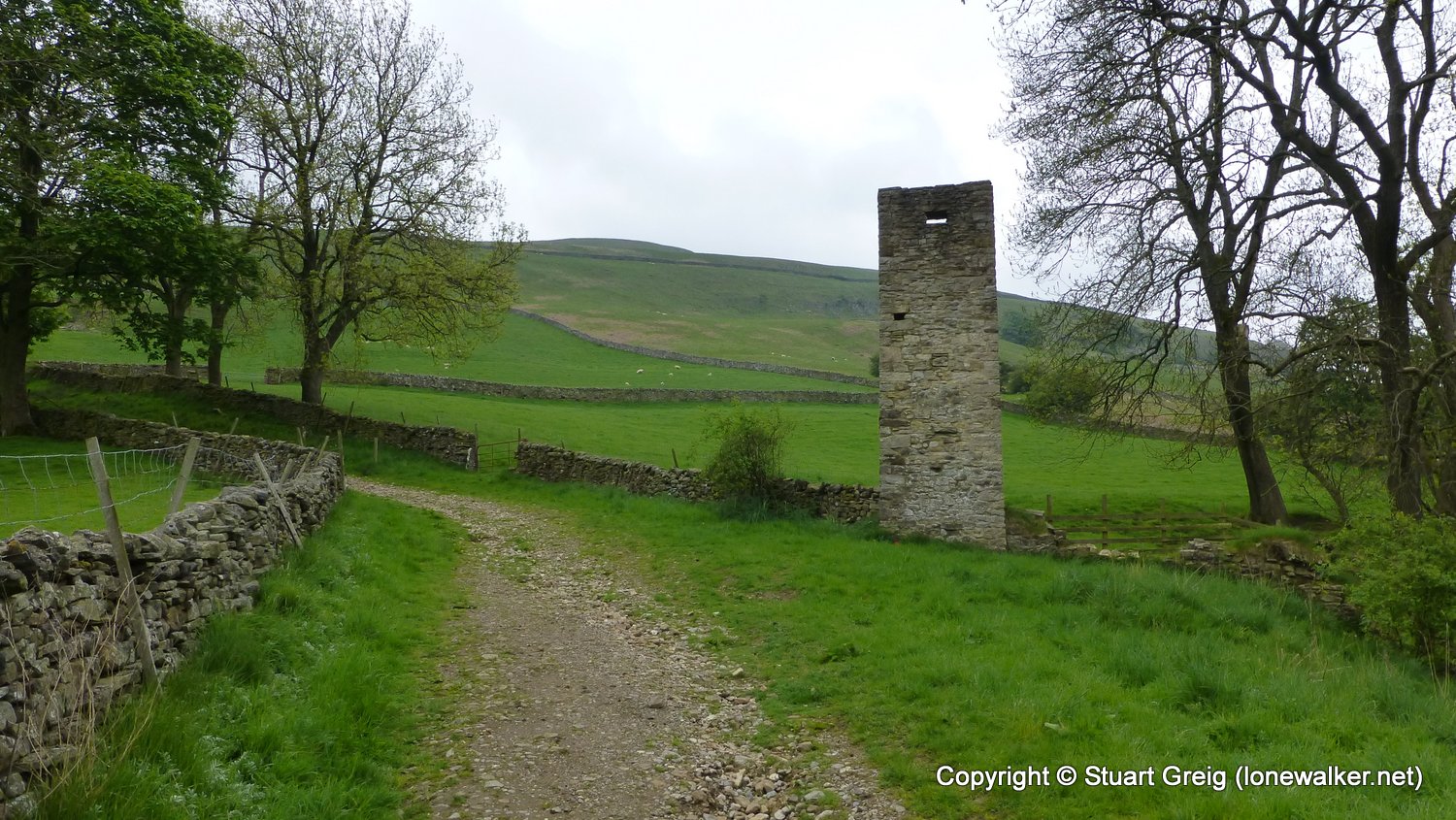
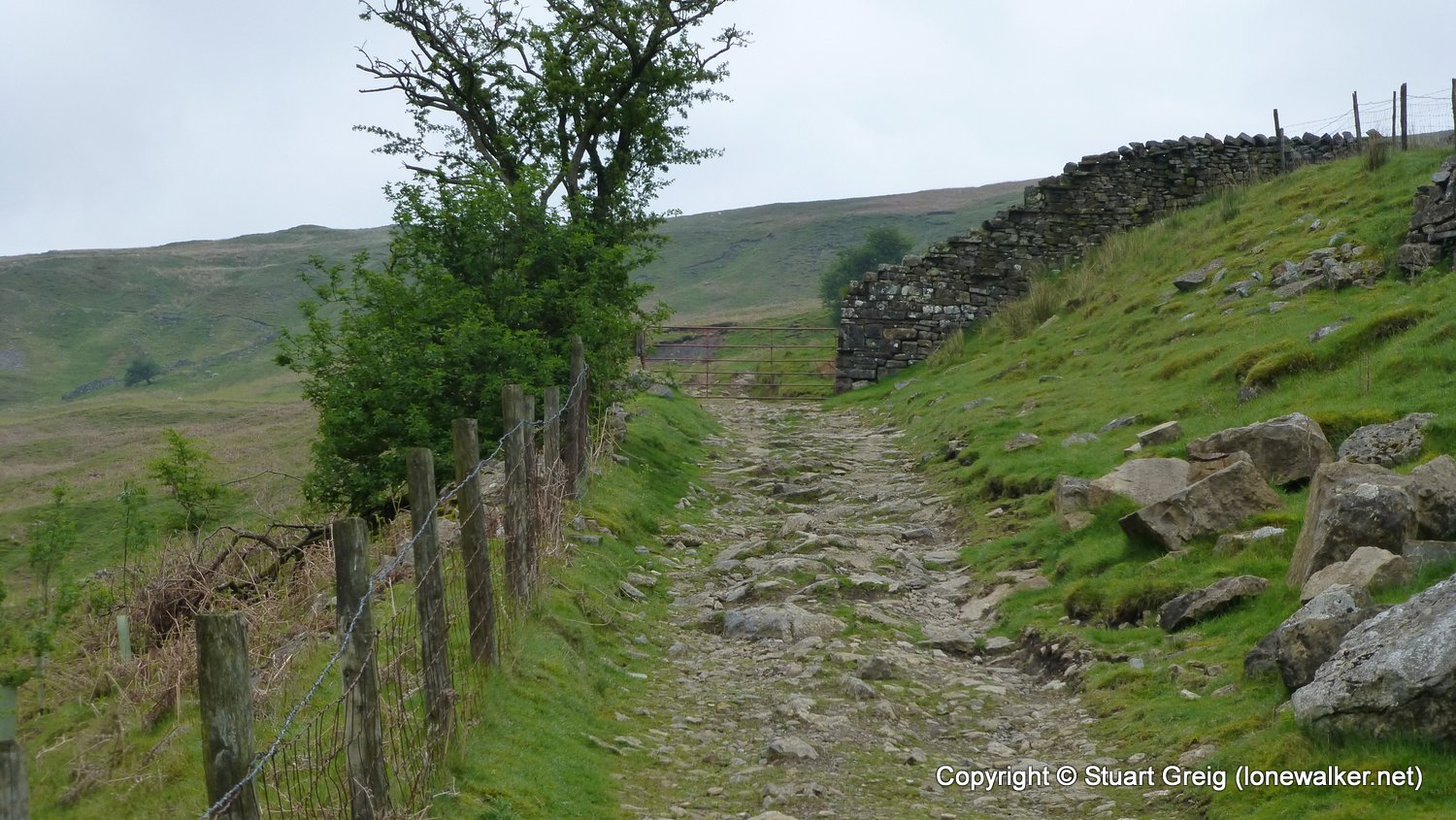
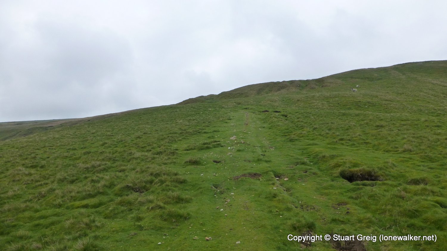
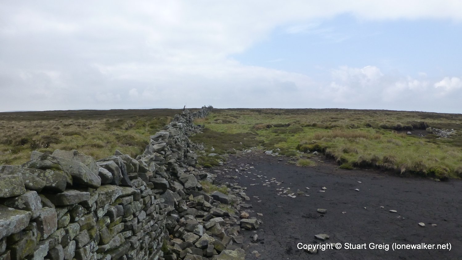
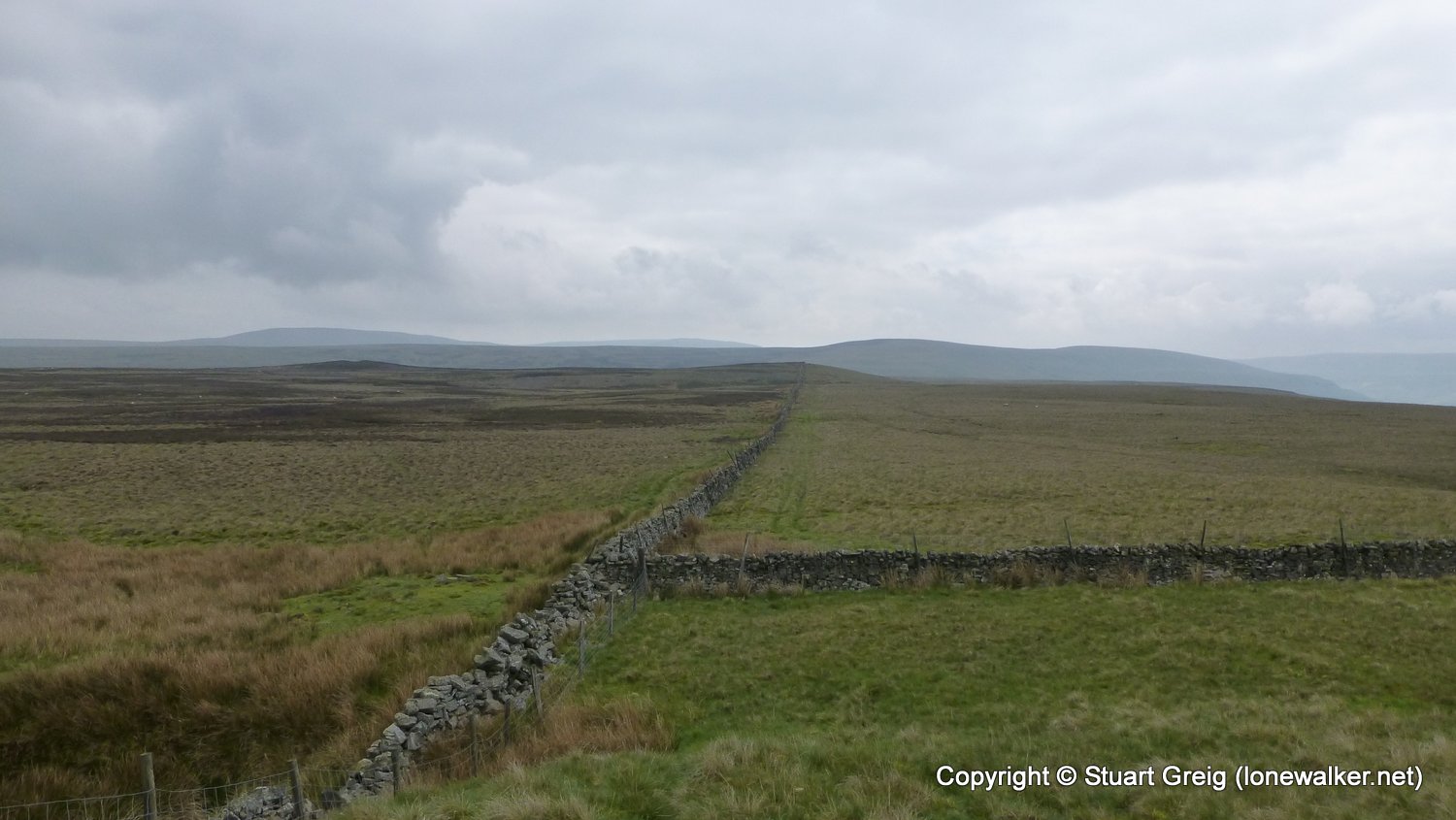
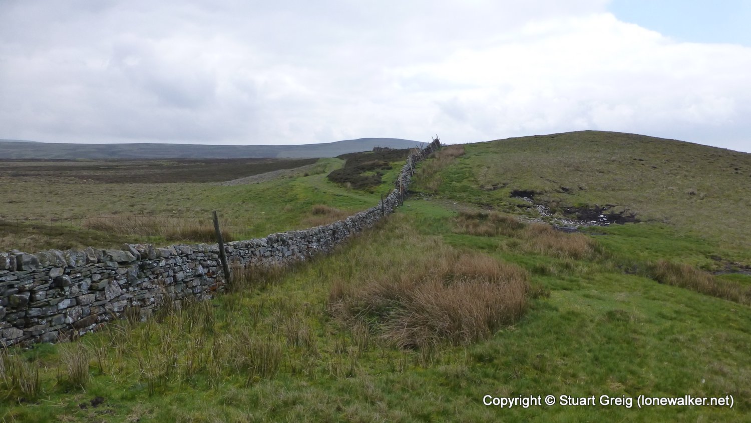
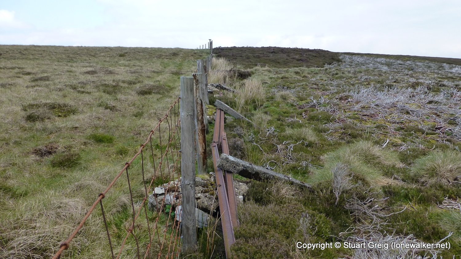
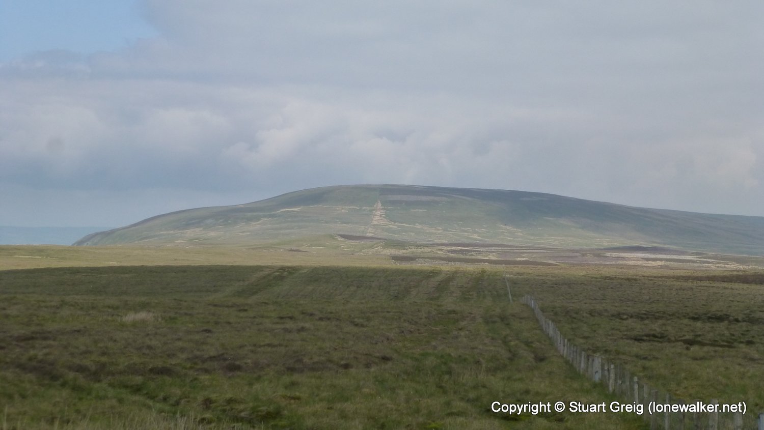
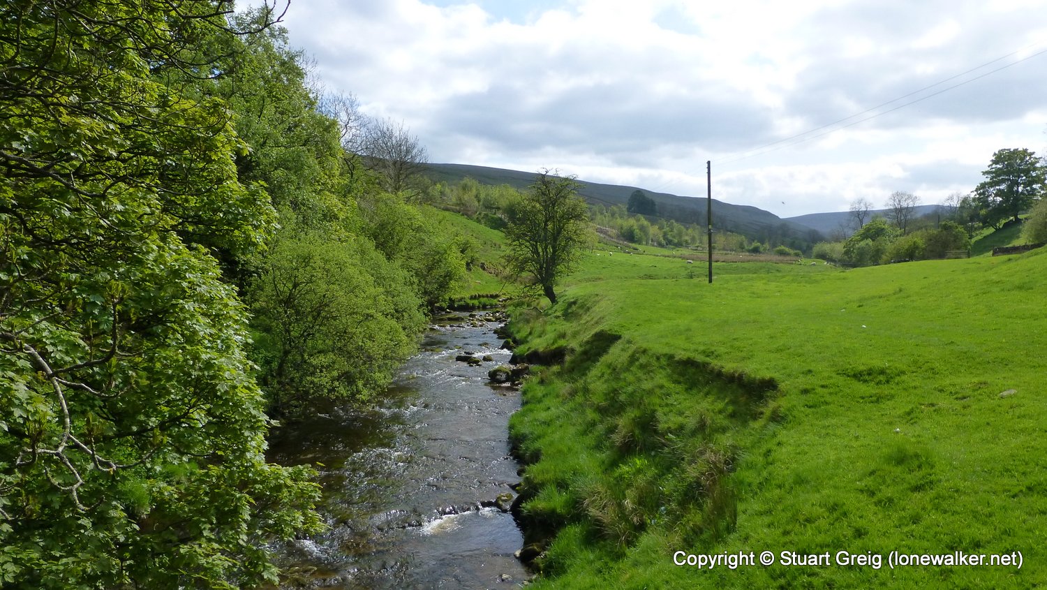
Route Description: West Burton, Cote Bridge, Sporting Nicks, Harland Hill, White Hill, Braidley Moor, Brown Haw, Grange farm, Ashes, Walden, West Burton
Parking Grid Ref: SE 01794 86721
View Parking space in: OS Map or Google Street View
Walking with: Alone
Long Distance Path:
Click any image to open the full screen photo gallery


Walk Name: Delamere Forest
Date: 2016-05-07
Distance: 4.2 mls, 6.76 km
Height Gain: 400 ft, 121.9 m
Walk Name: Addlebrough
Date: 2016-05-28
Distance: 7.2 mls, 11.59 km
Height Gain: 1000 ft, 304.8 m