
Date: 2006-12-27
Start: Nell Croft Finish: Nell Croft
Distance: 12.5 mls, 20.12 km
Height Gain: 1700 ft, 518.2 m
Start Time: 08:23 End Time: 12:19
Duration: 03:56
Ave Speed: 3.2 mph
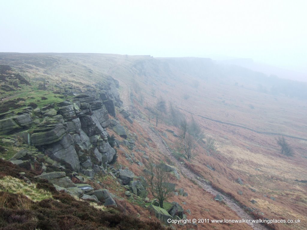
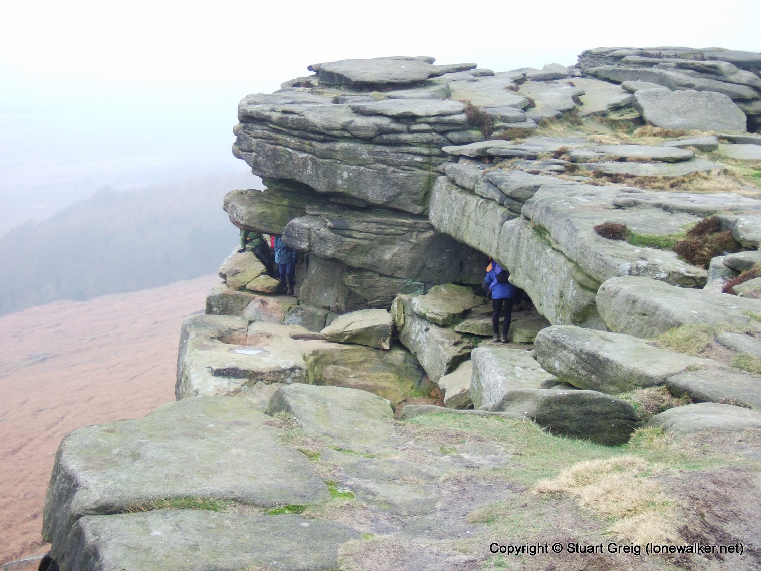
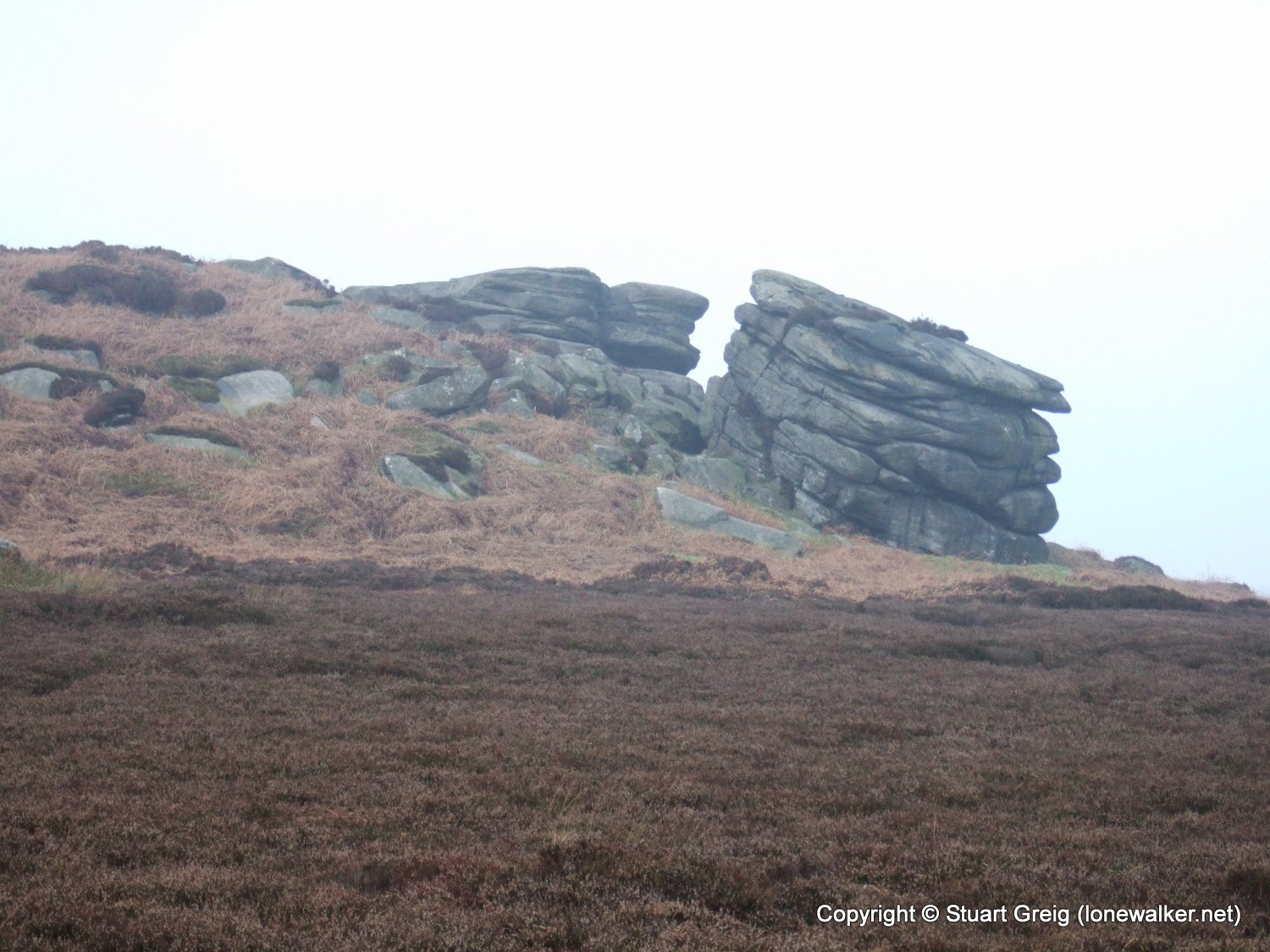
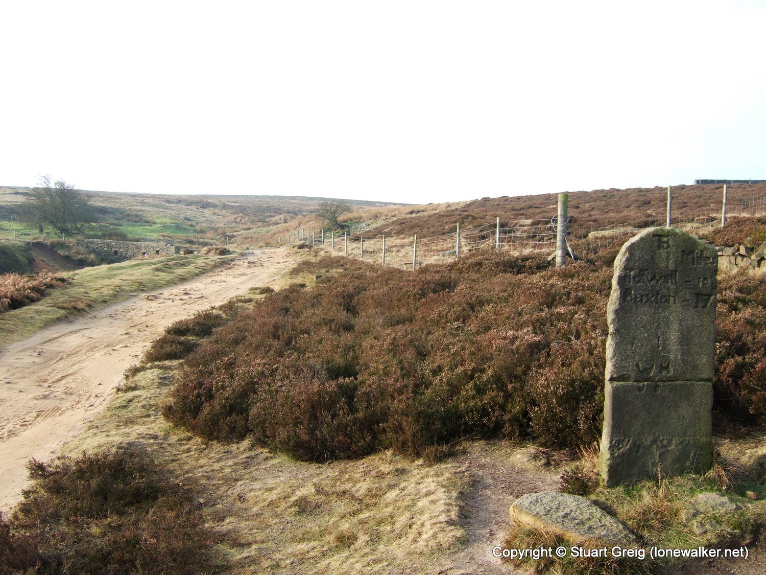
Region: Peak District
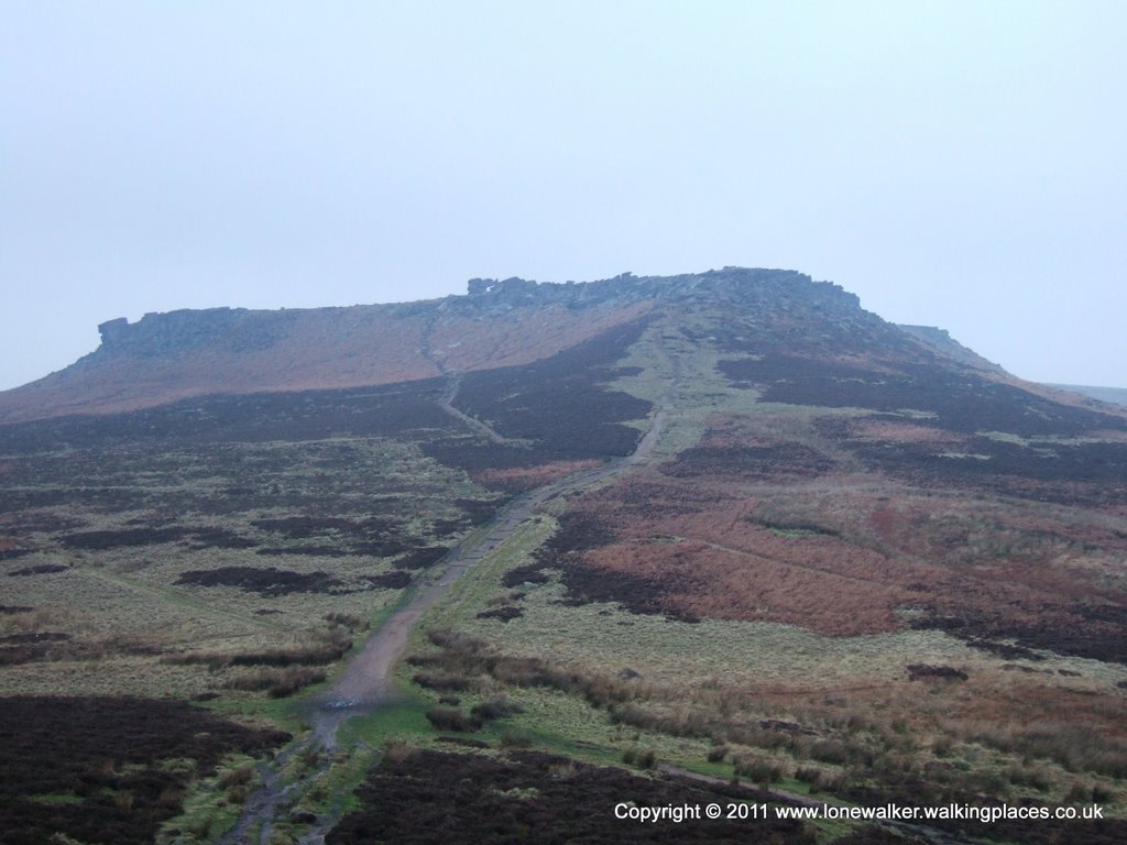
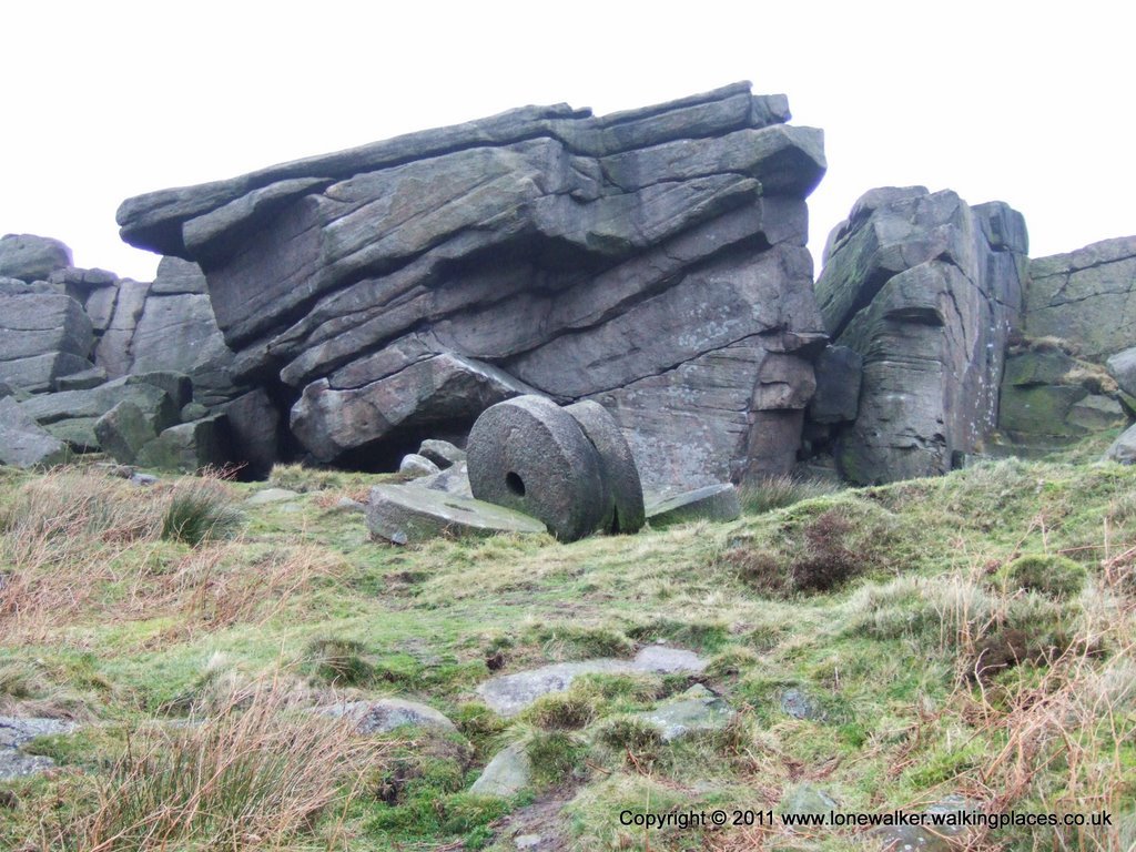
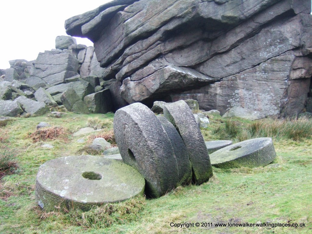
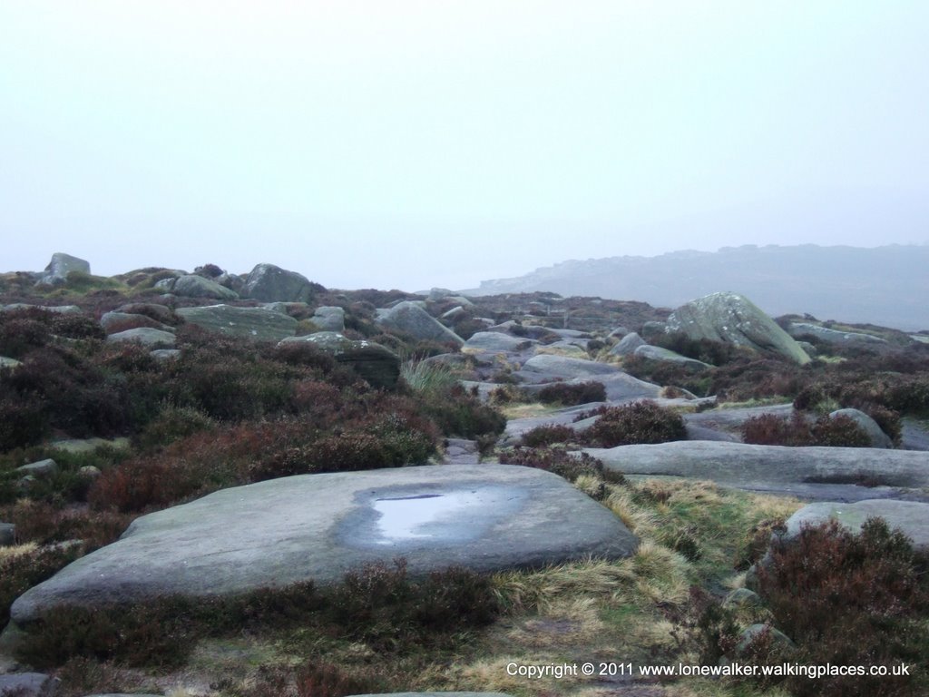
Route Description: Nell Croft, Burbage Bridge, Higger Tor, Stanage Edge, High Neb, Stanage Pole, Upper Burbage Bridge, Ox Stones, Houndkirk Road, Nell Croft
Parking Grid Ref: SK 26635 80048
View Parking space in: OS Map or Google Street View
Walking with: Alone
Long Distance Path:
5327 - High Neb (1503 ft)
16501 - White Path Moss (1499 ft)
19879 - Stanedge Pole (1457 ft)
19875 - Higger Tor (1427 ft)
TP3795 - High Neb (Good condition)
TP5267 - Ox Stones (Good condition)
TP6150 - Stanage Edge (Good condition)
TP7411 - Stanedge Pole (Good condition)
Click any image to open the full screen photo gallery


Walk Name: Moughton & Sulber
Date: 2006-12-16
Distance: 11.5 mls, 18.51 km
Height Gain: 1700 ft, 518.2 m
Walk Name: Kinder Downfall
Date: 2007-01-06
Distance: 9.5 mls, 15.29 km
Height Gain: 2300 ft, 701.0 m