
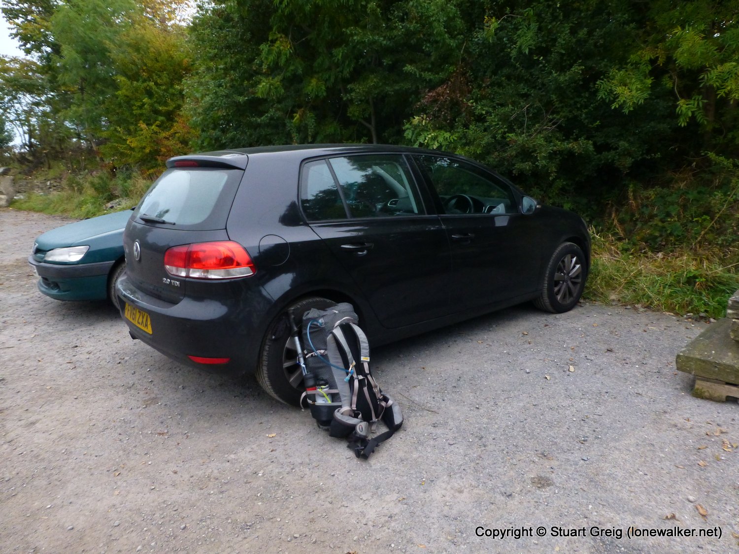
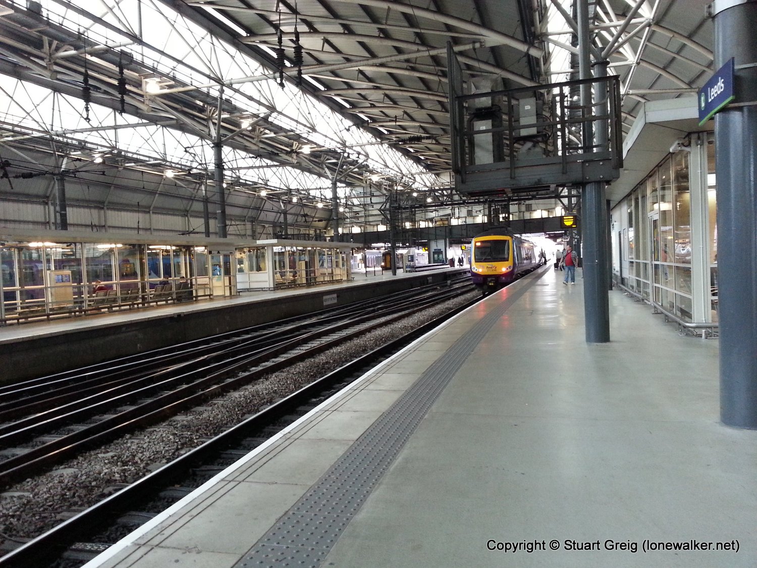
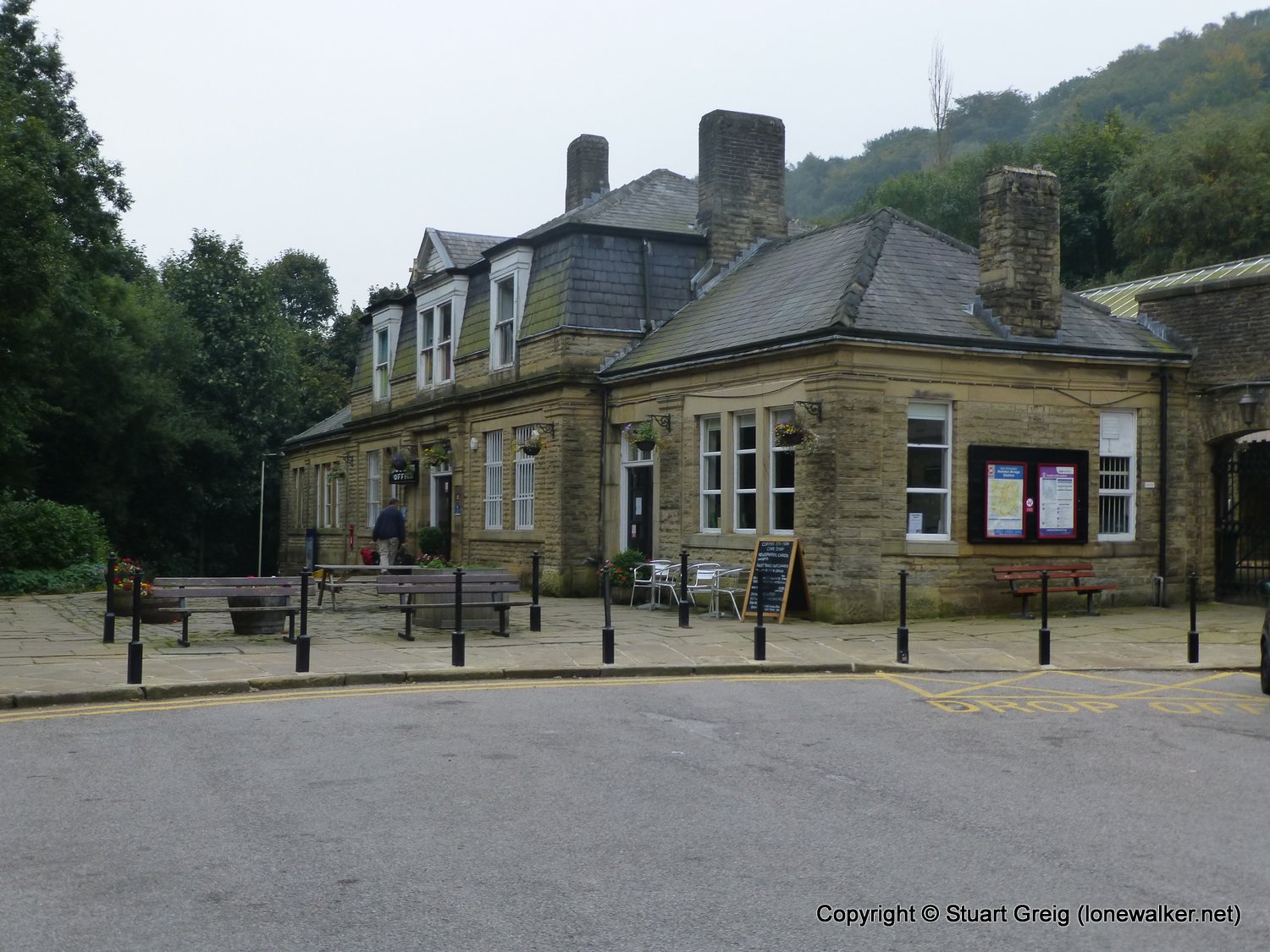
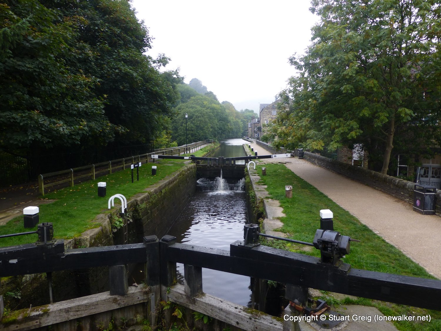
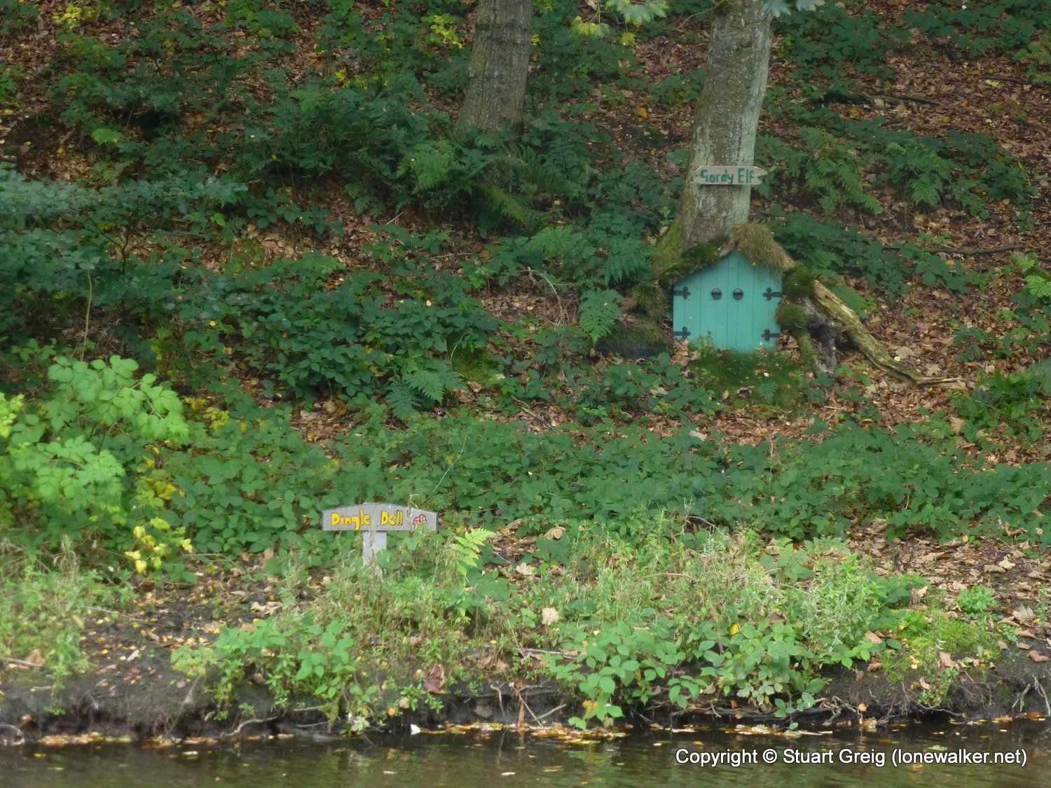
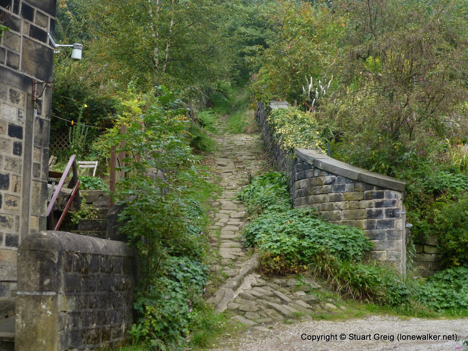
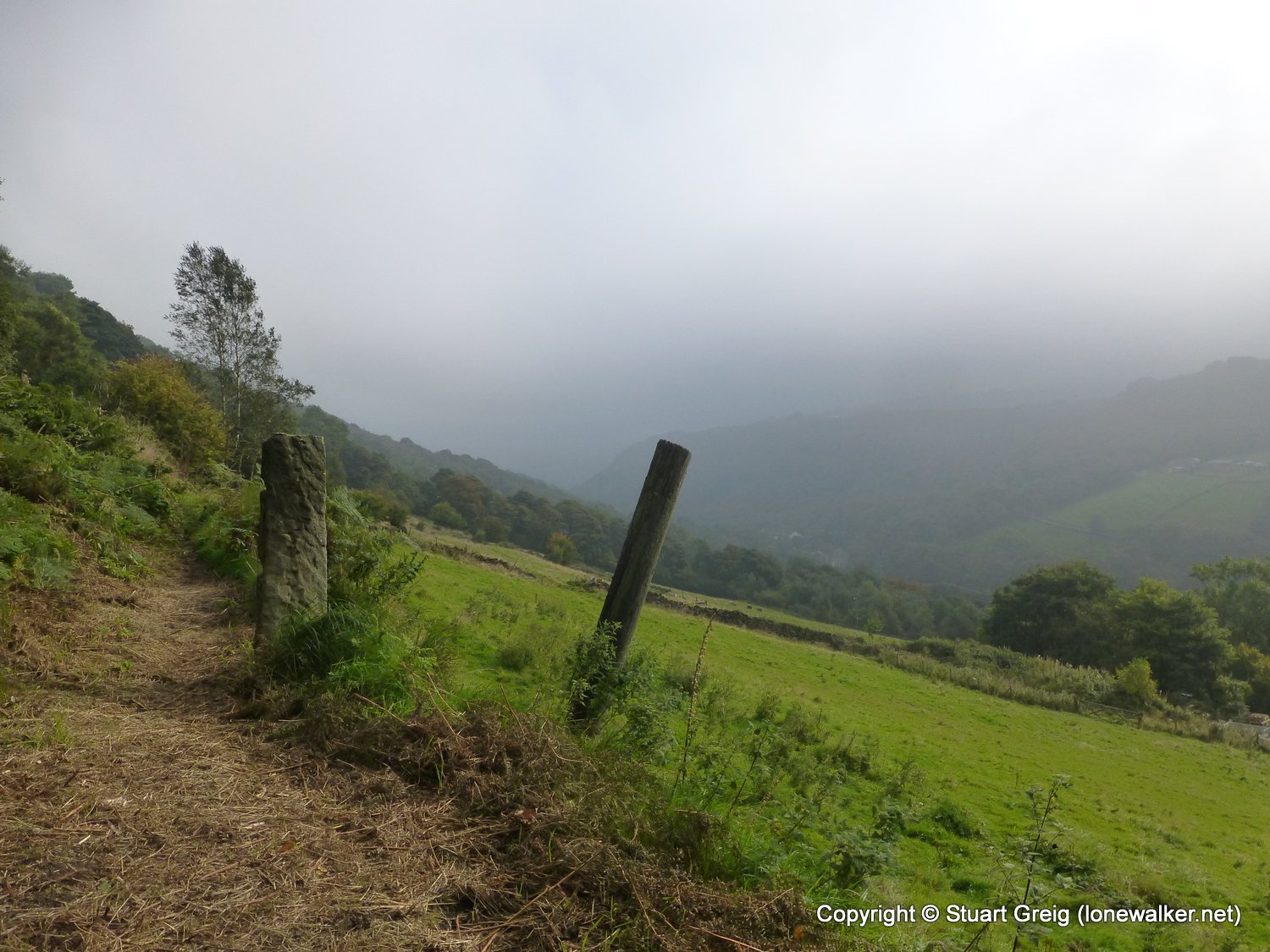
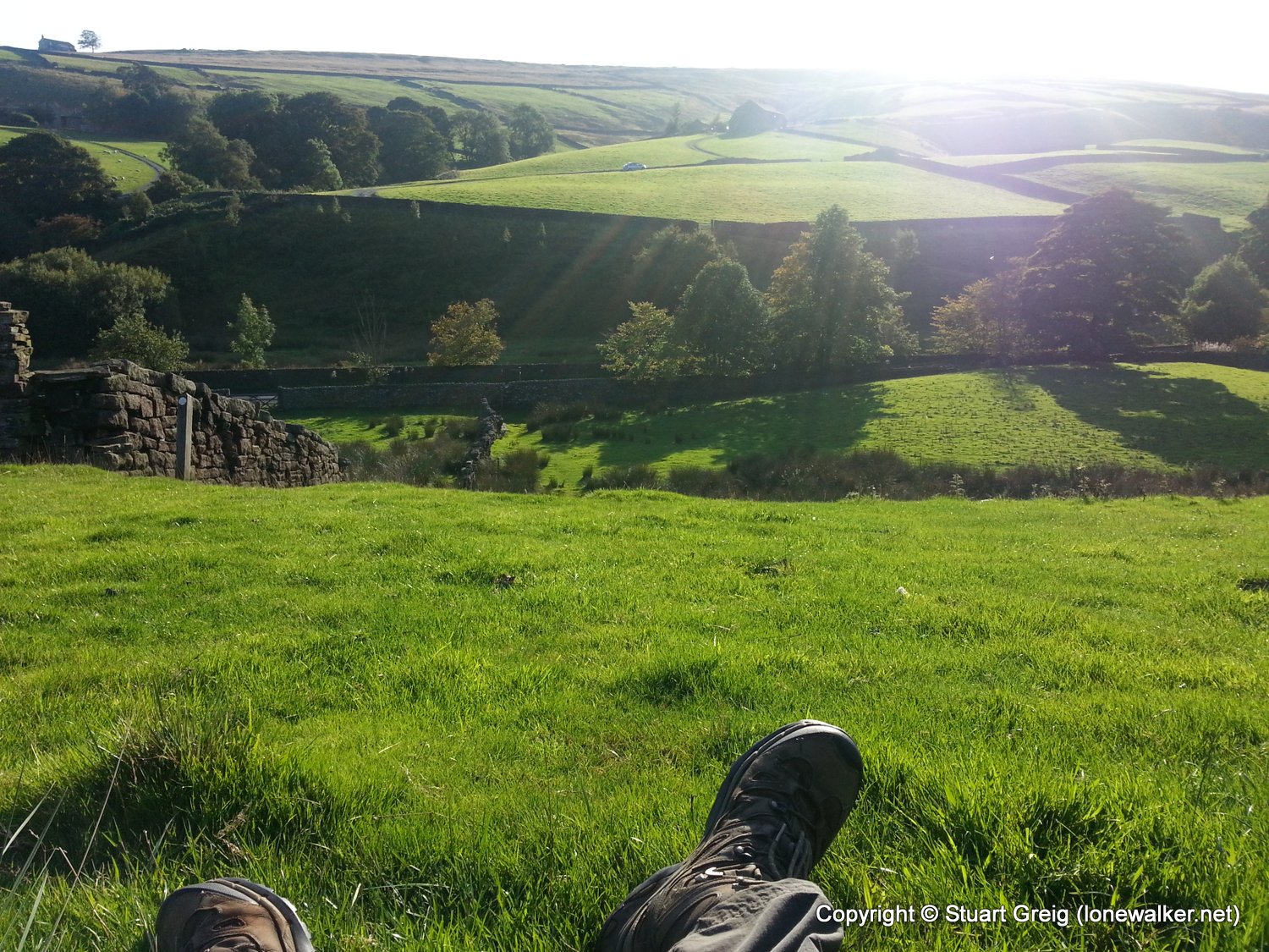
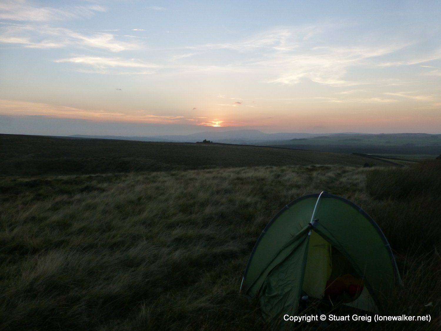
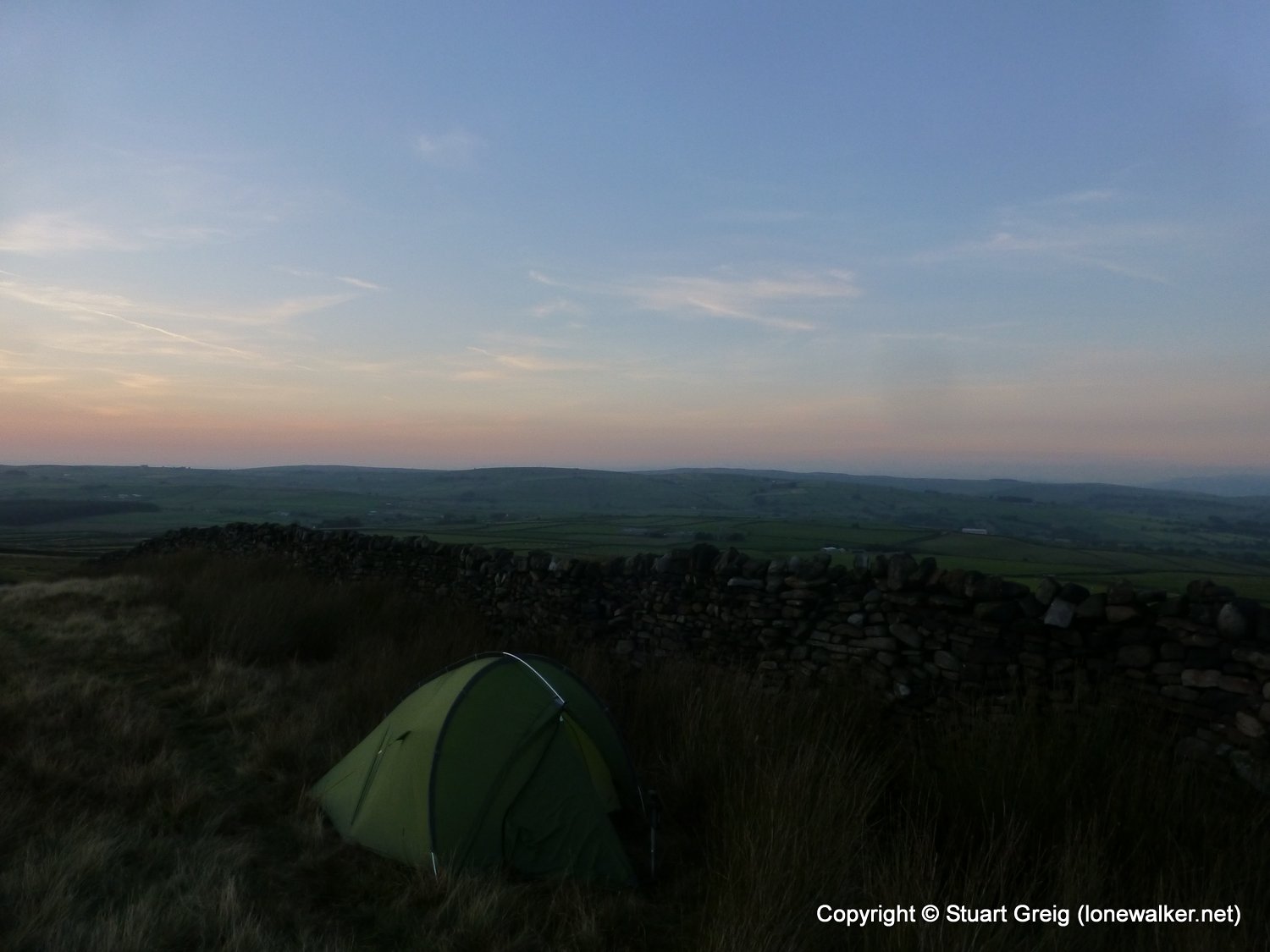
Another section of the Pennine Way to complete as part of the Trailblazer guide book update, this time from Hebden Bridge to Gargrave. I was hoping to have some company this weekend, but mid-week, @PilgrimChris had to drop out and I was on my own. I made a slight change in route and used the remarkably cheap train option via Leeds between the two stations, leaving the car at Gargrave so I could walk back to it. The weather was mostly excellent all weekend except for a strong wind on both days, but mostly at my back, so no real complaints on that score. I dawdled for the last couple of hours, taking rests in the sun and finally finding a reasonable spot beside a wall to pitch my tent, with water not too far away. A quiet night and although not exactly warm I wasn't cold either.
Date: 2013-09-28
Start: Hebden Bridge Finish: Ickornshaw Moor
Distance: 17.4 mls, 28.00 km
Height Gain: 3300 ft, 1005.8 m
Start Time: 09:43 End Time: 18:33
Duration: 08:50
Ave Speed: 2.0 mph
Region: Southern Pennines
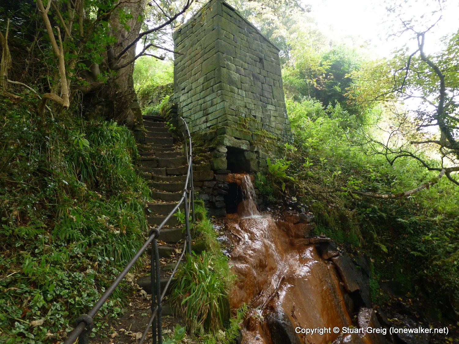
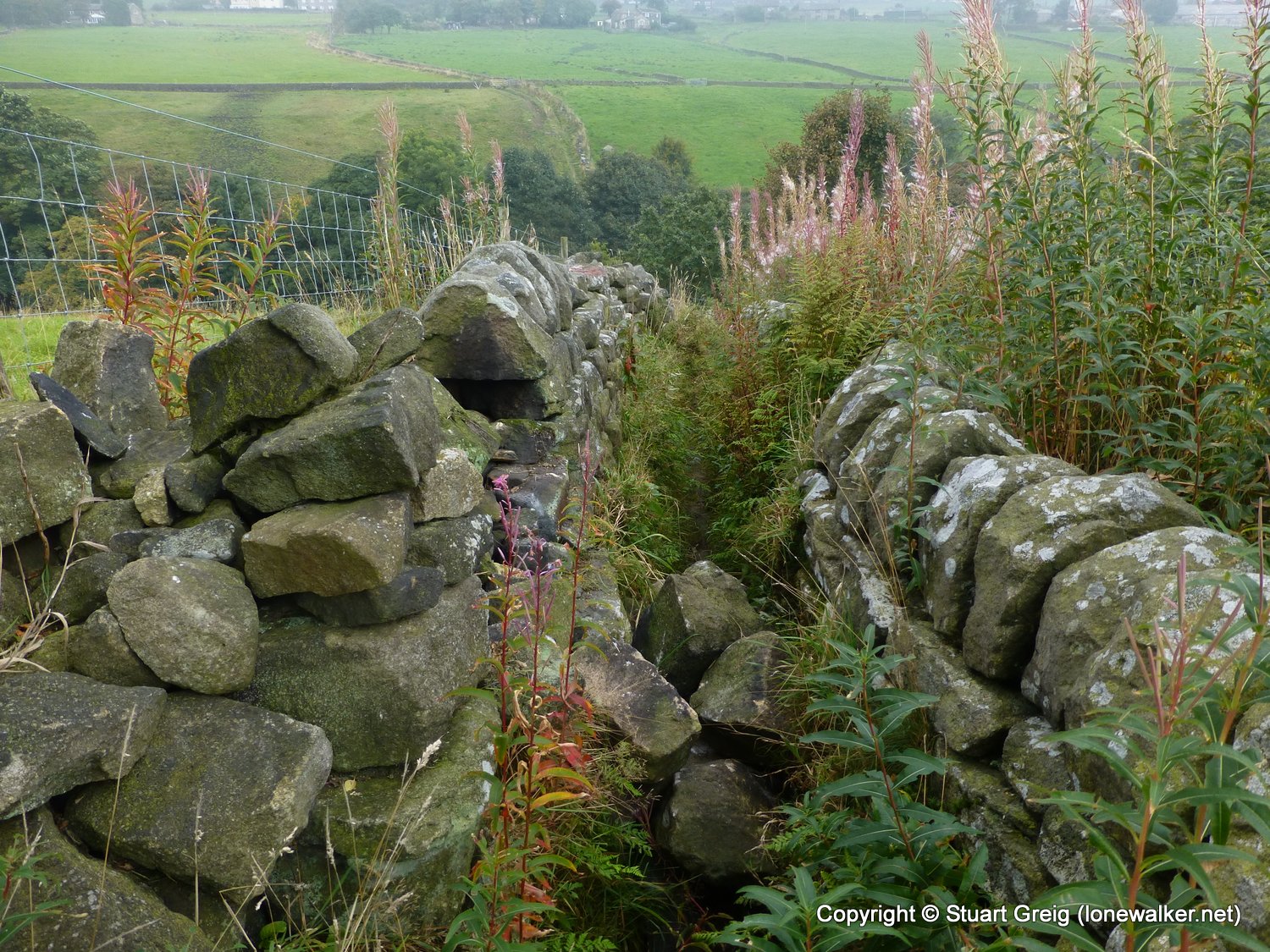
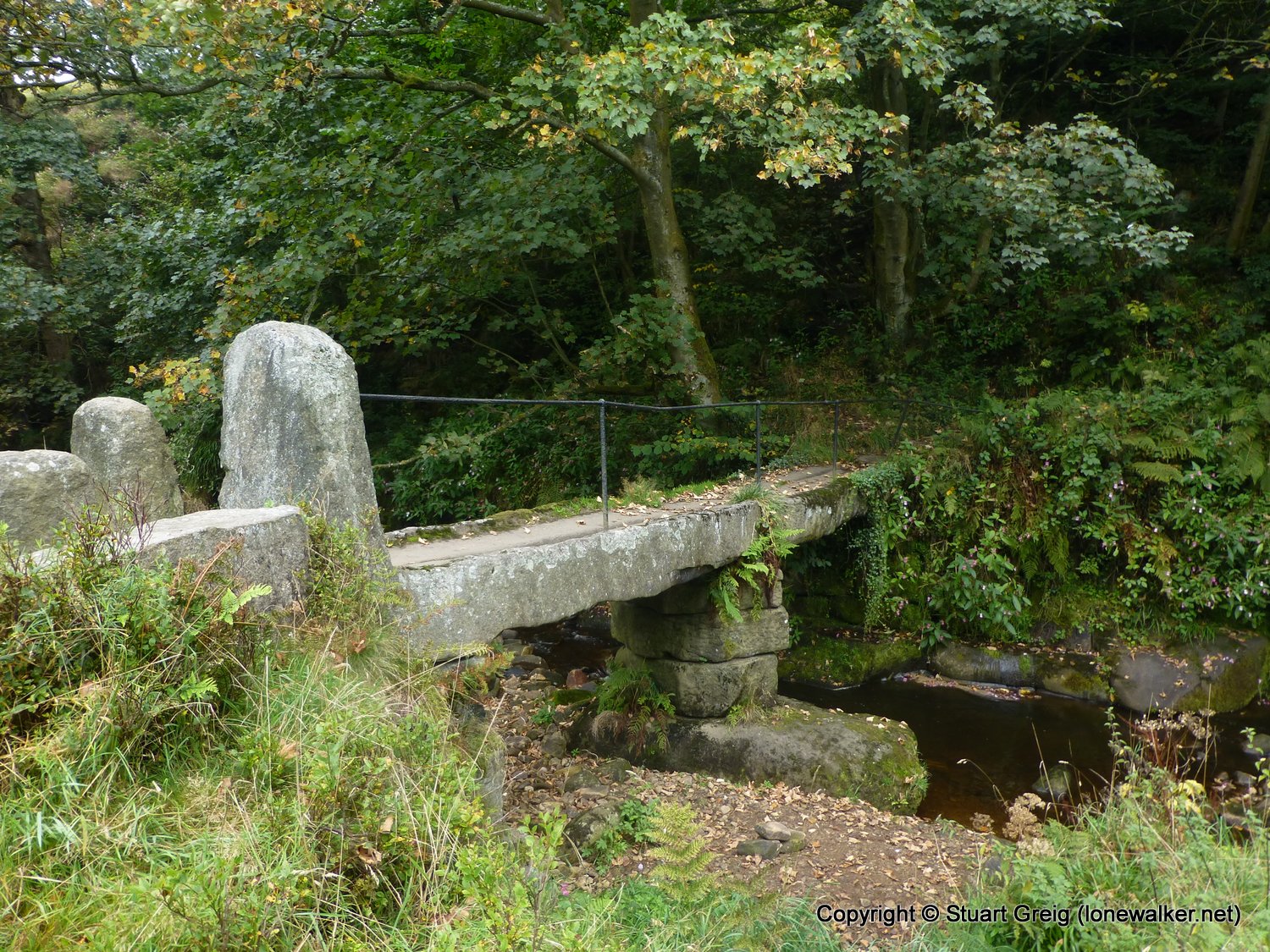
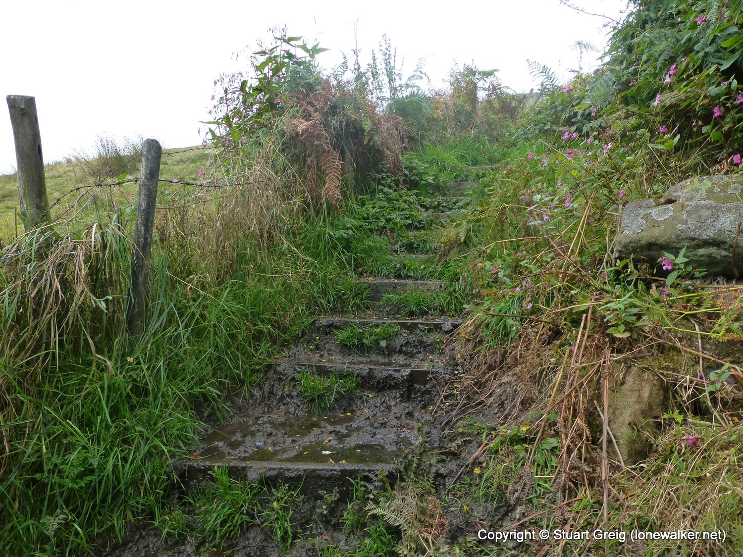
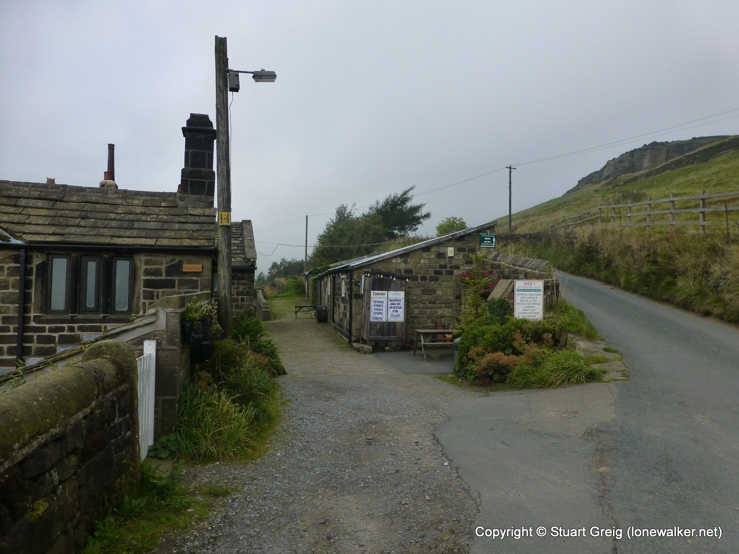
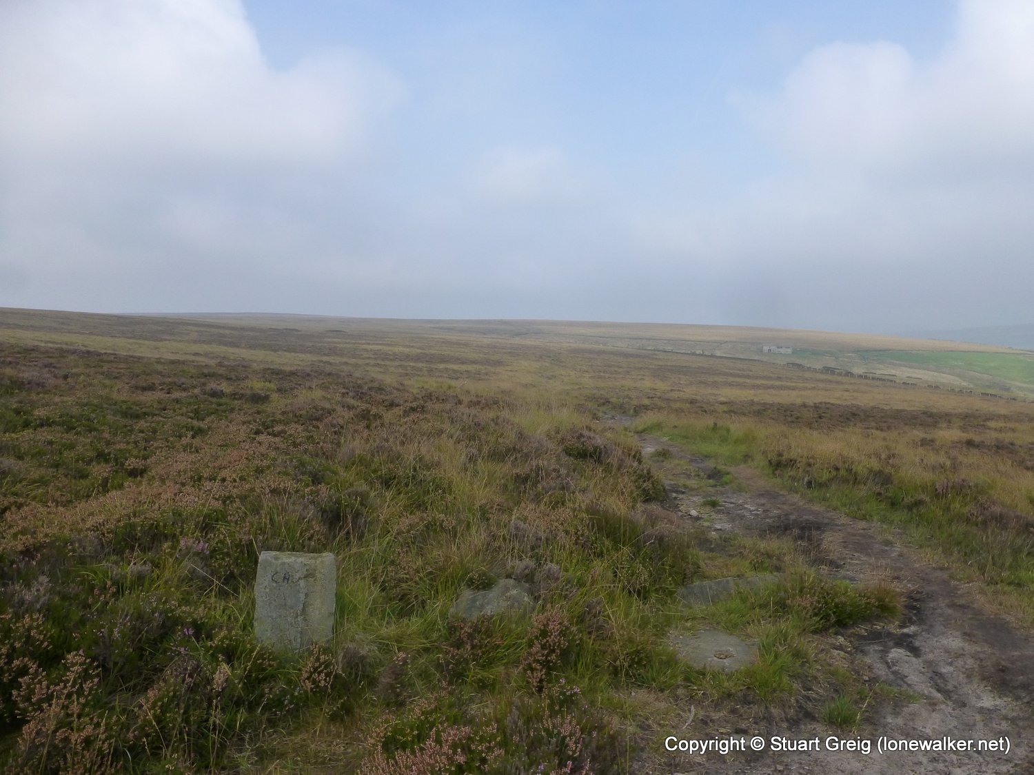
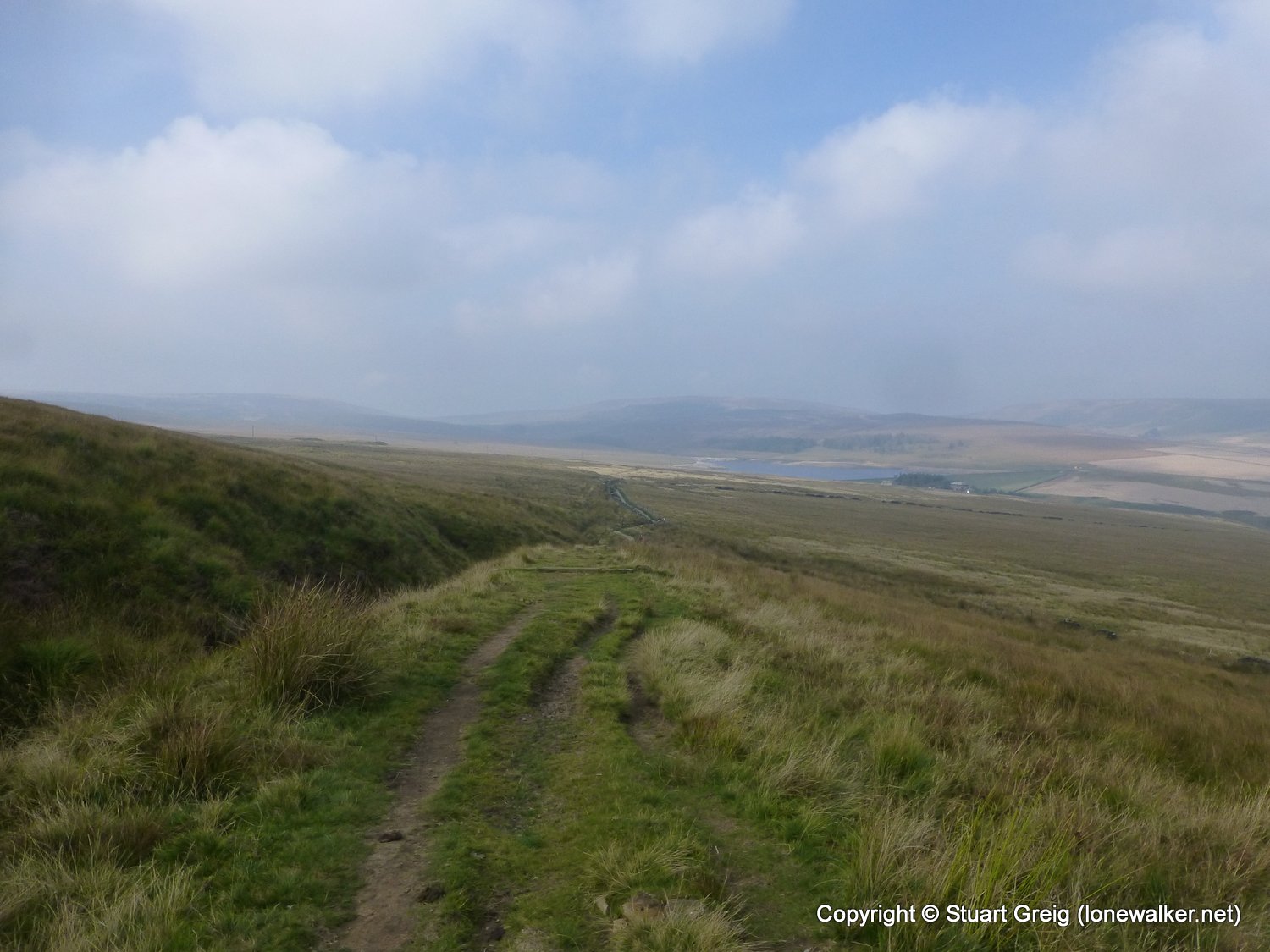
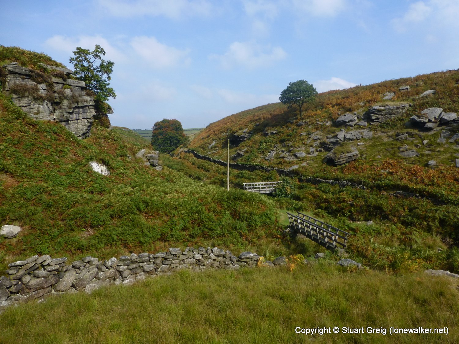
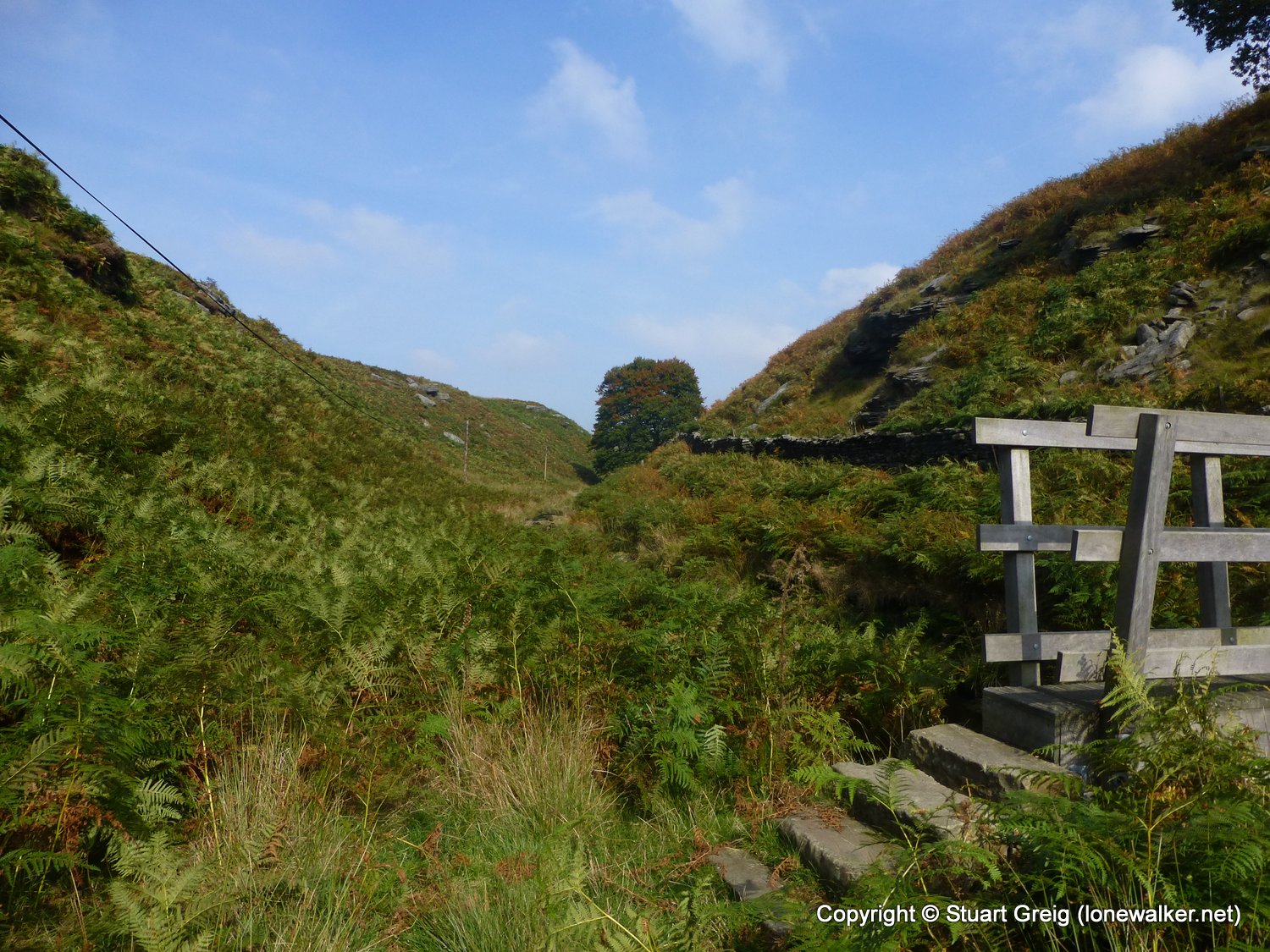
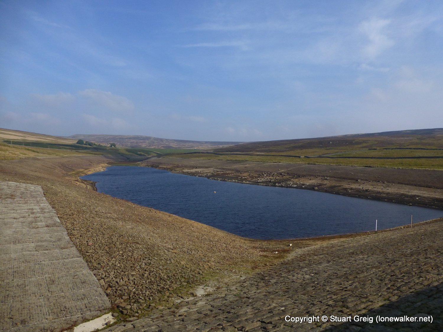
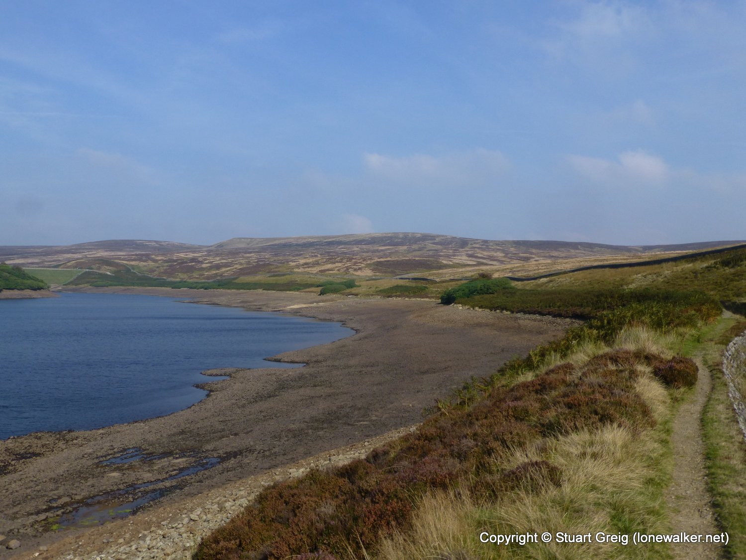
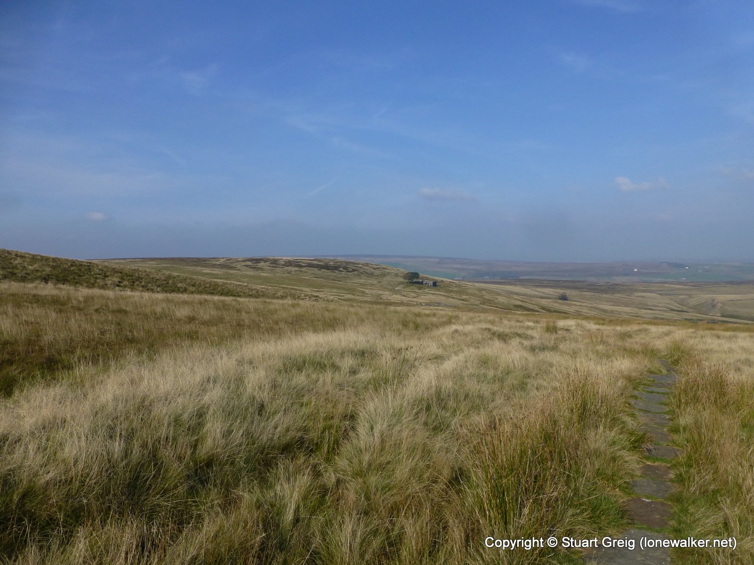
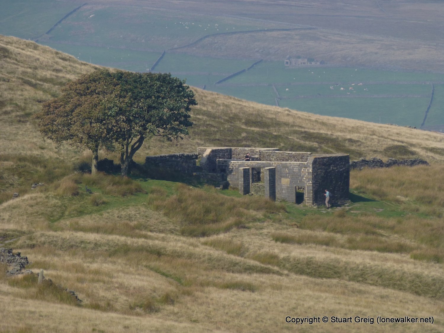
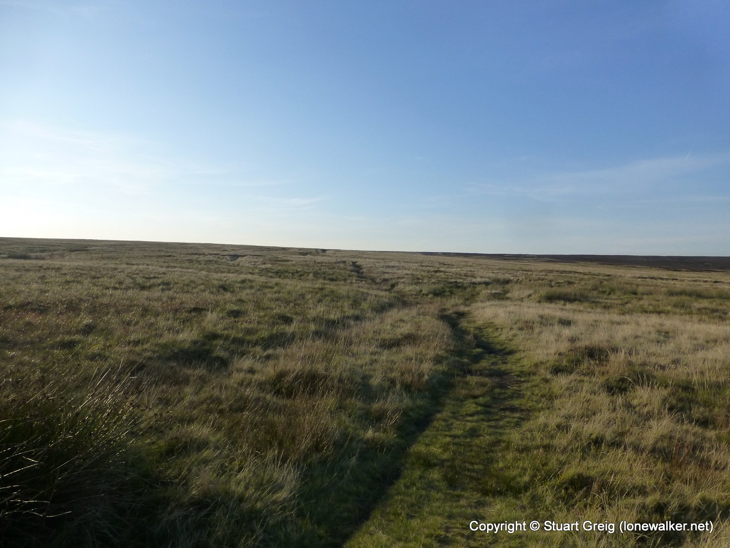
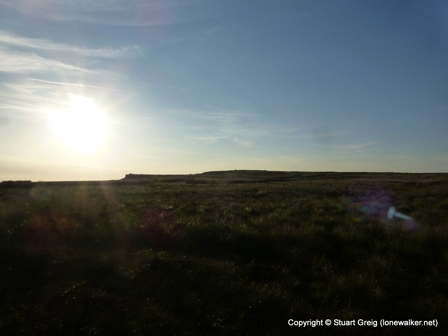
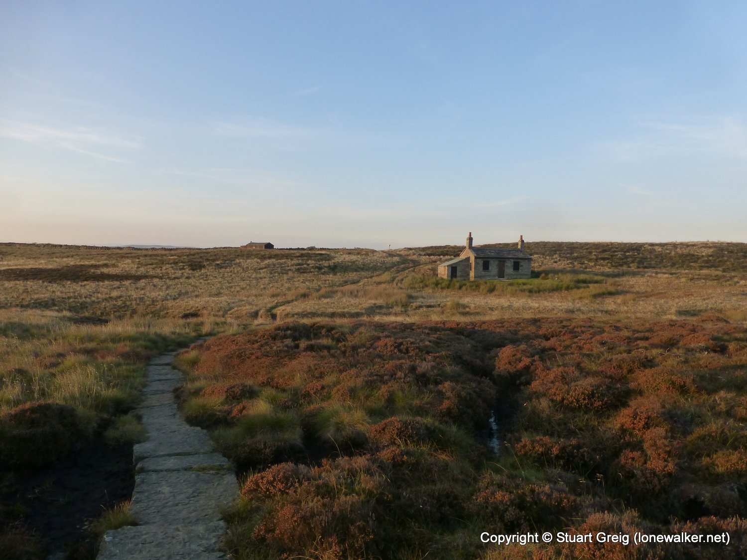
Route Description: Hebden Bridge, Rochdale Canal, Colden, Standing Stone Hill, Graining Water, Walshaw Dean reservoirs, Top Withens, Ponden, Ickornshaw Moor
Parking Grid Ref:
View Parking space in: OS Map or Google Street View
Walking with: Alone
Long Distance Path: Pennine Way
Click any image to open the full screen photo gallery

Walk Name: Bowes Loop
Date: 2013-09-22
Distance: 13.6 mls, 21.89 km
Height Gain: 1400 ft, 426.7 m
Walk Name: Ickornshaw Moor to Gargrave
Date: 2013-09-29
Distance: 13.5 mls, 21.73 km
Height Gain: 2000 ft, 609.6 m