
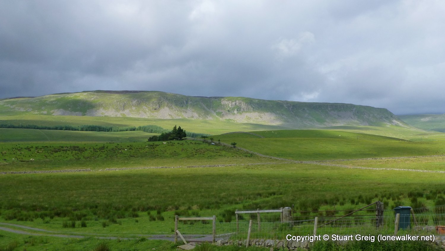
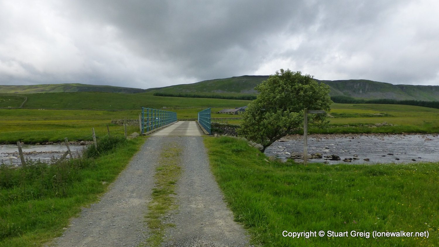
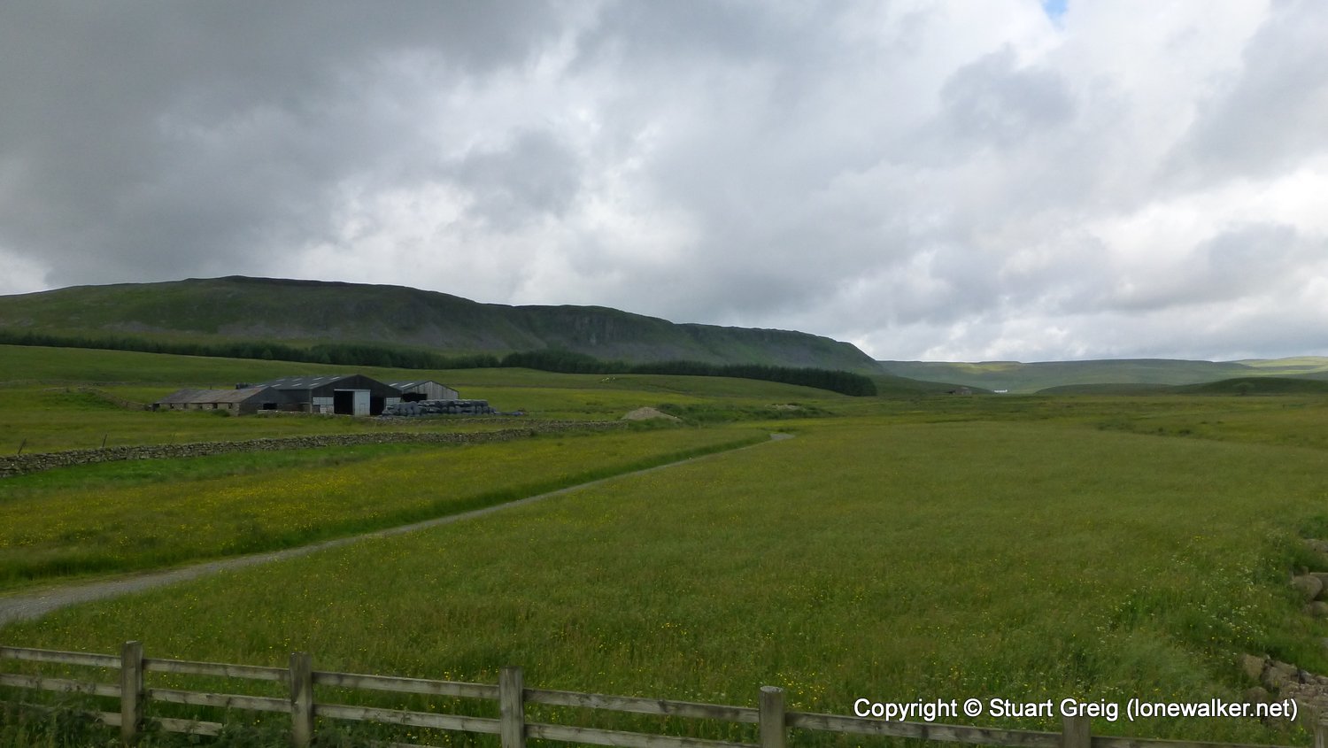
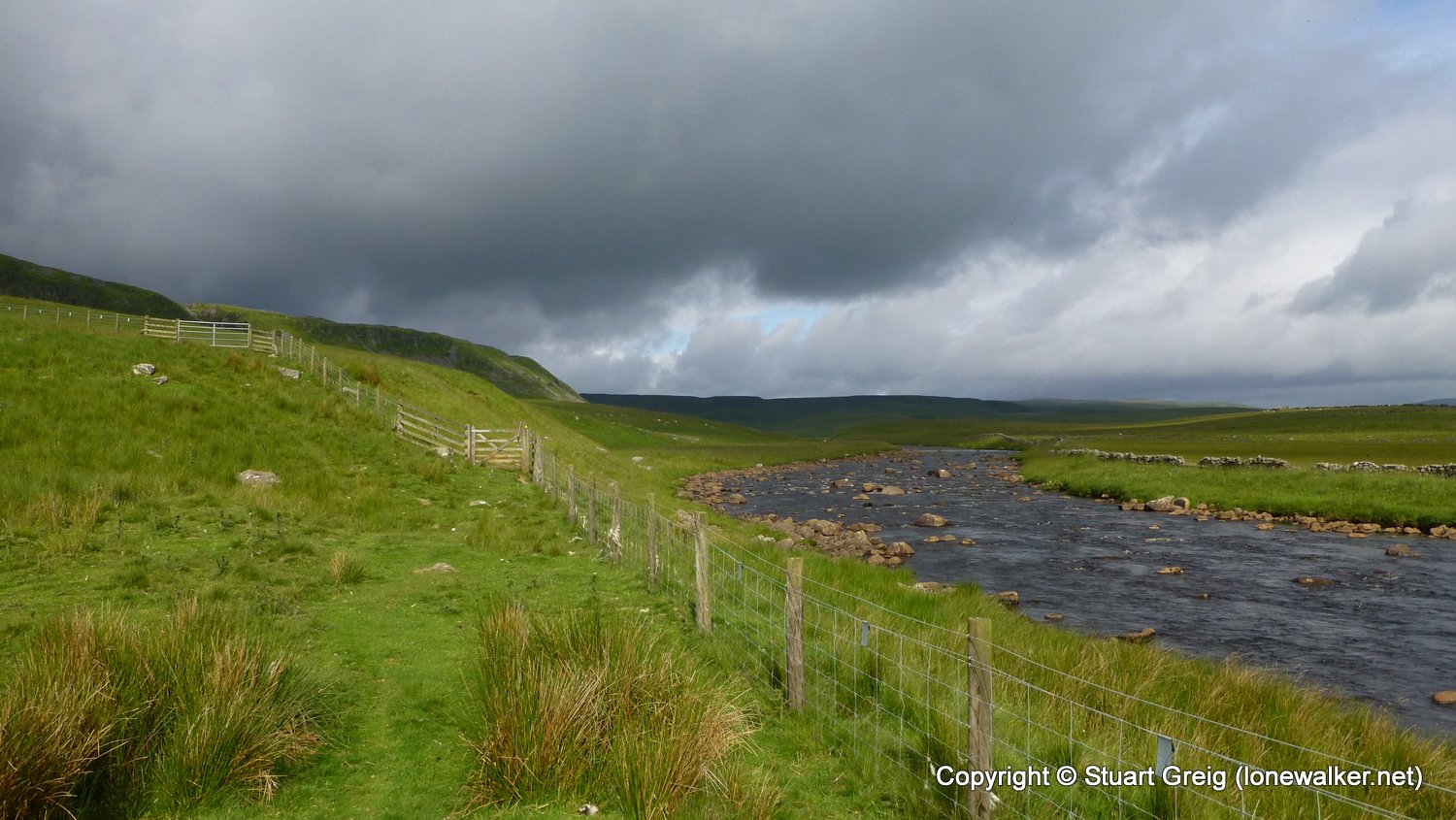
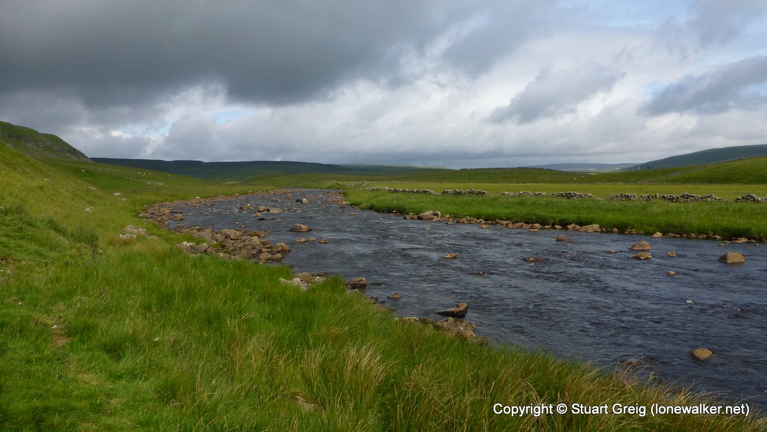
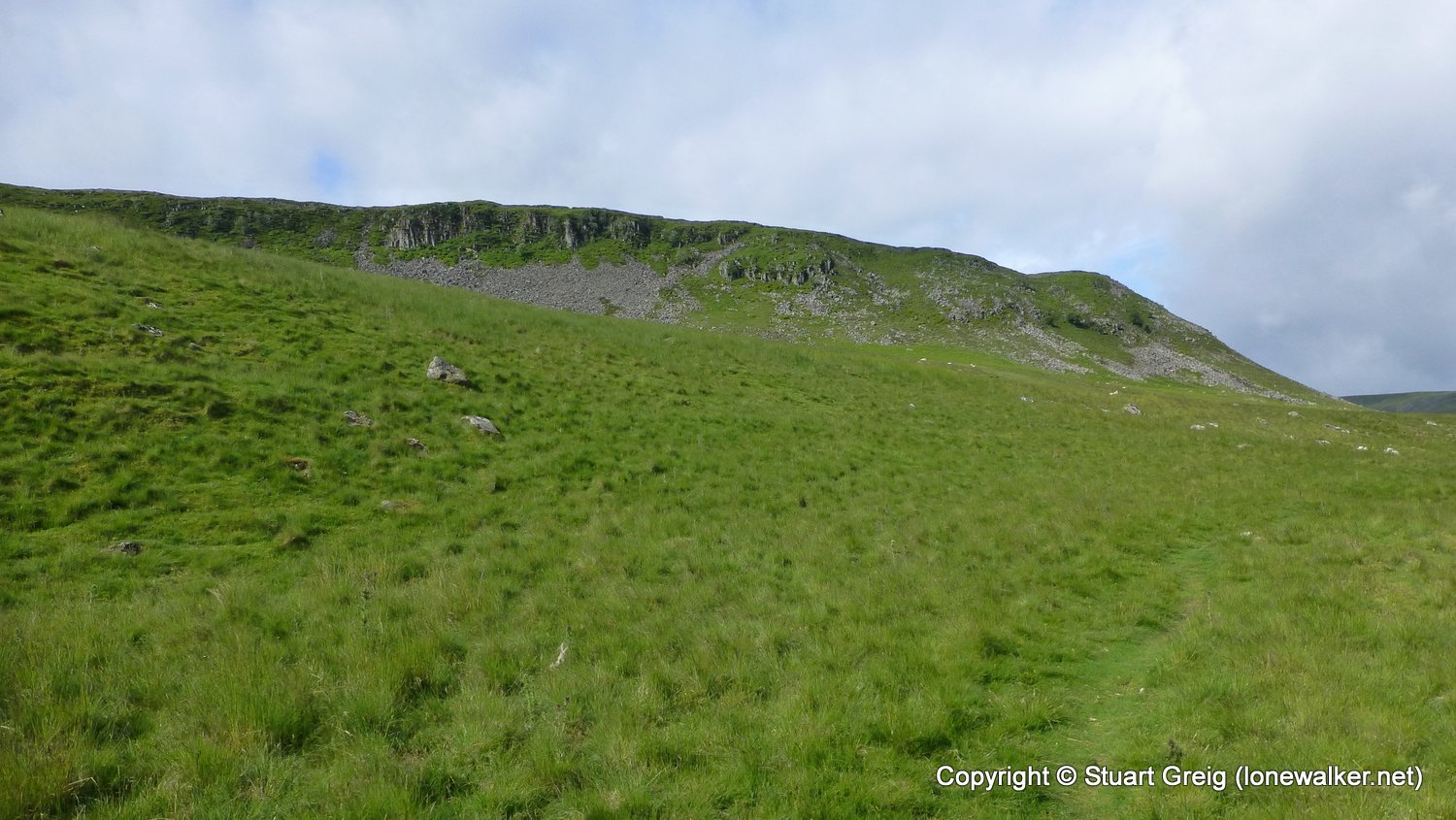
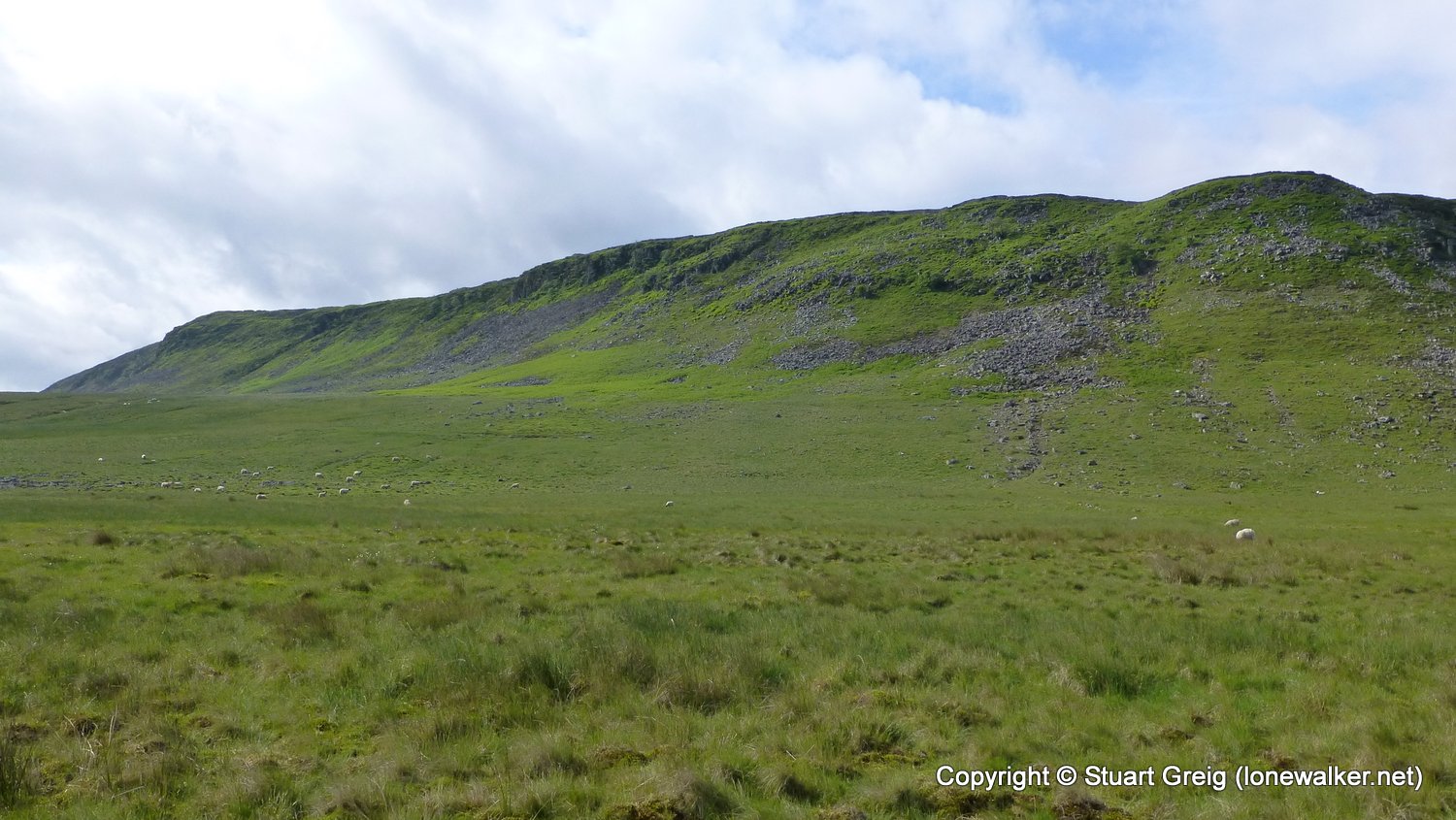
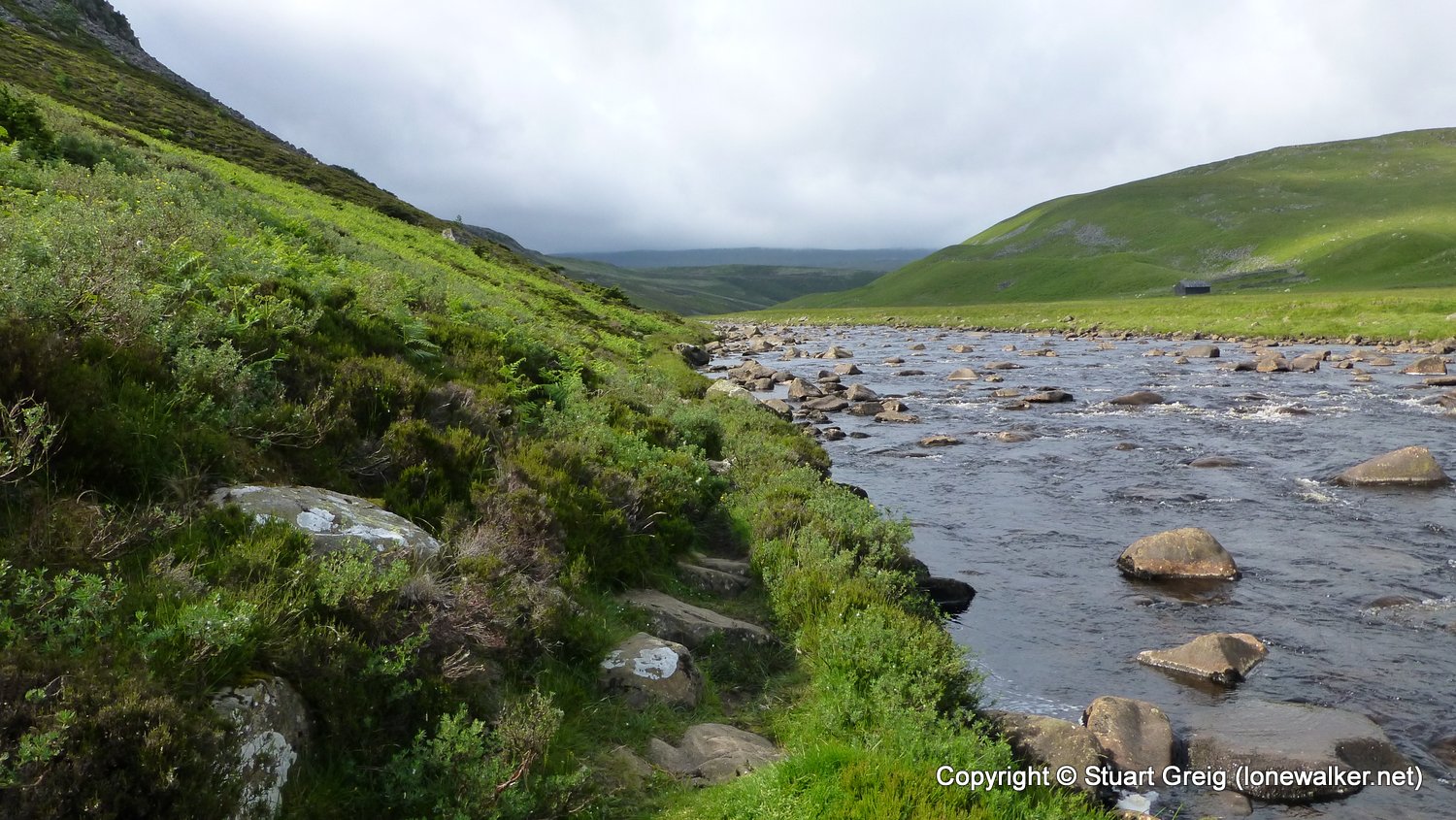
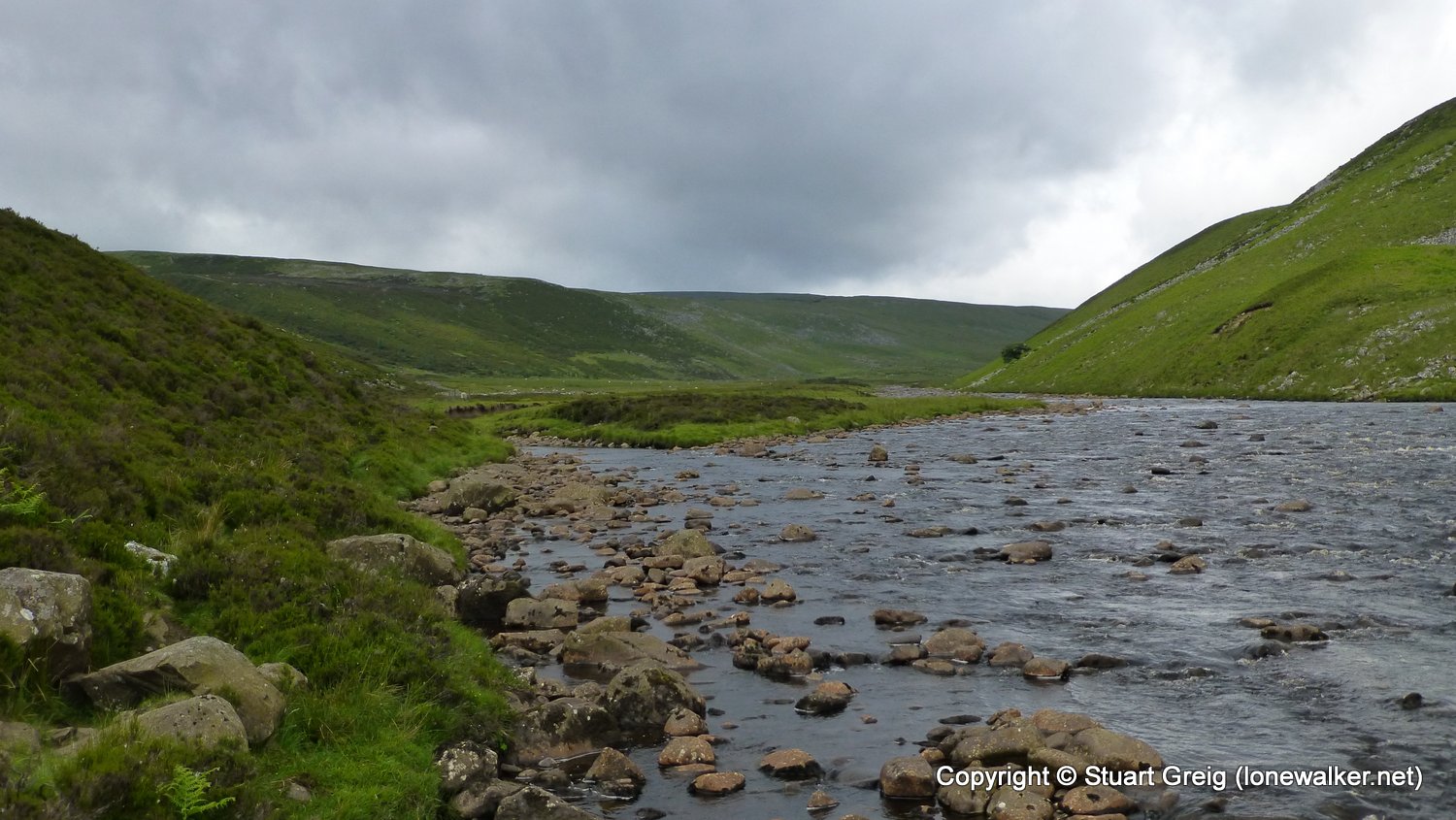
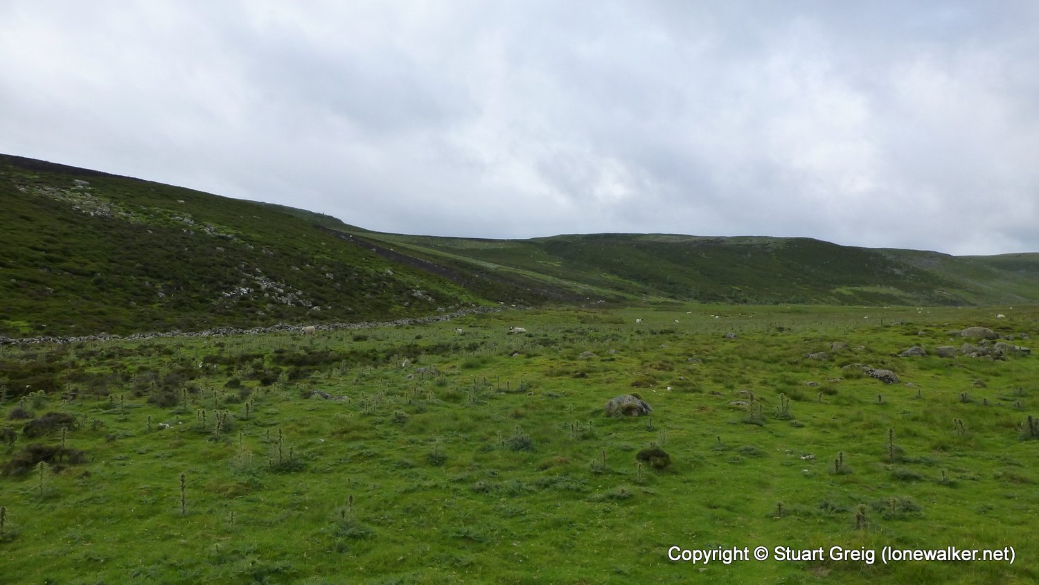
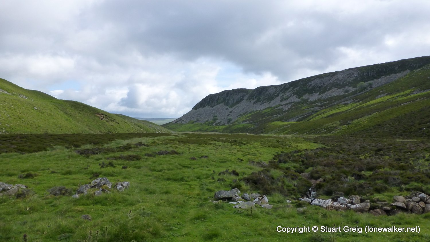
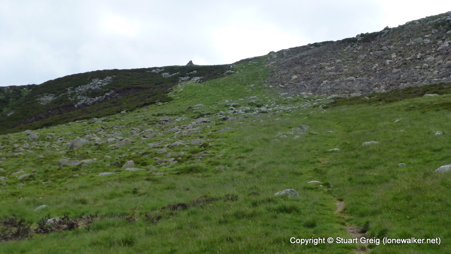
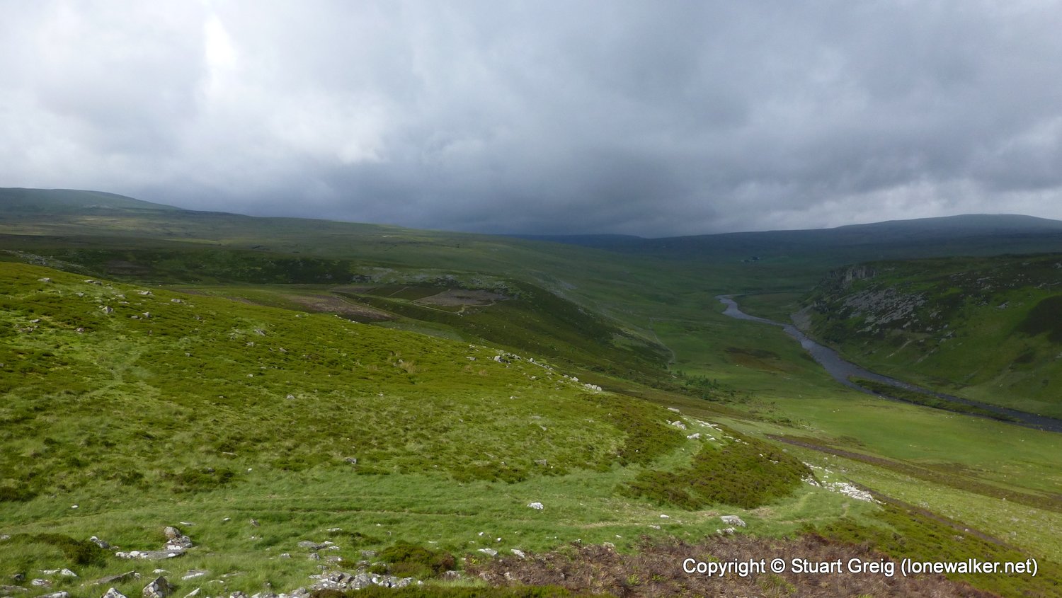
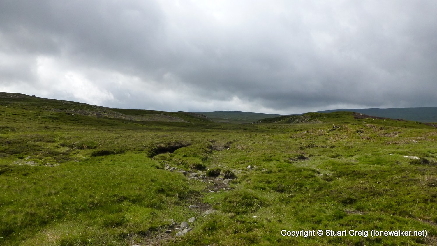
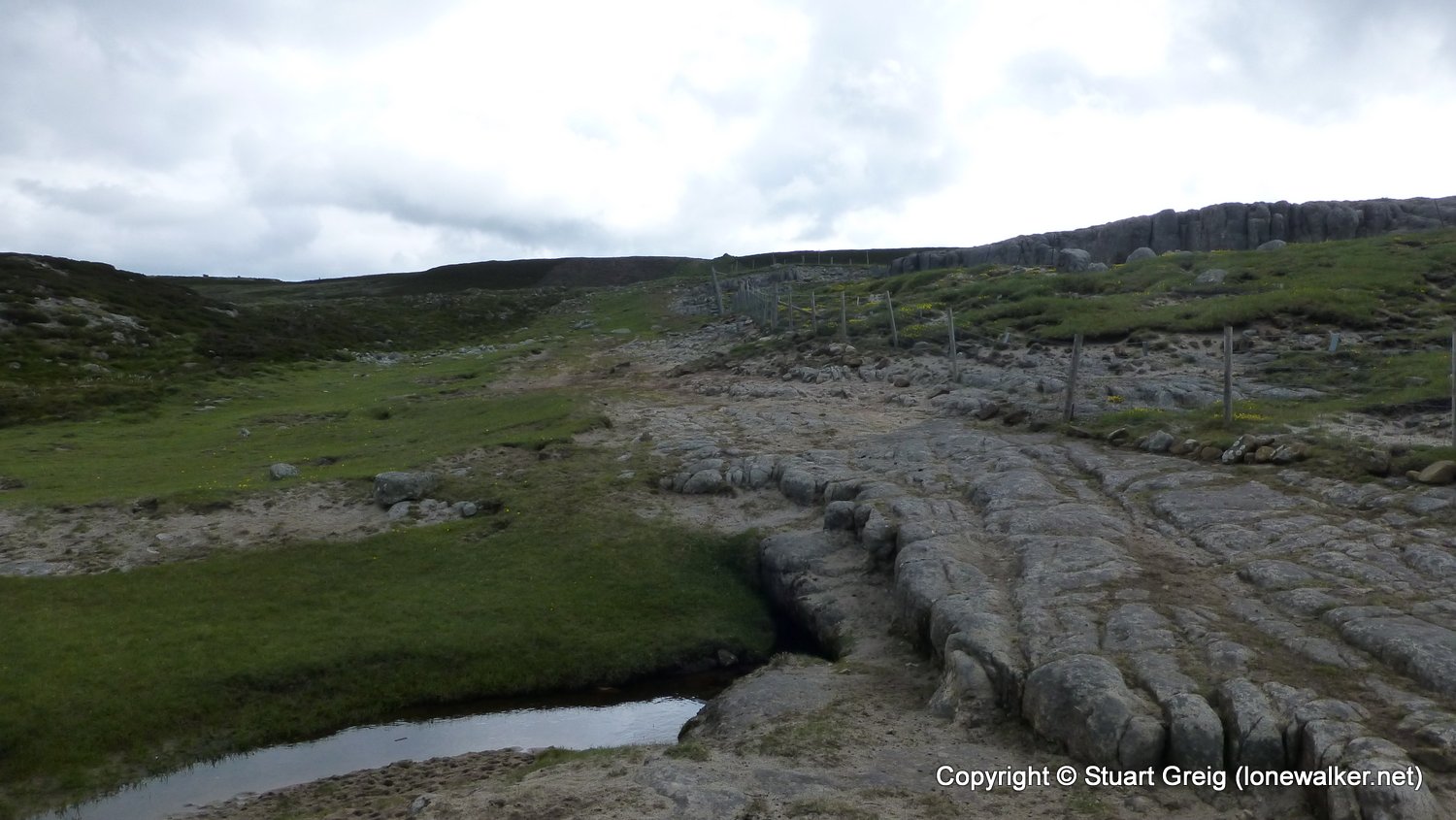
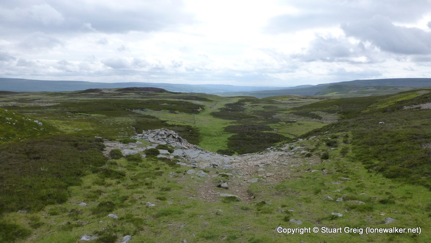
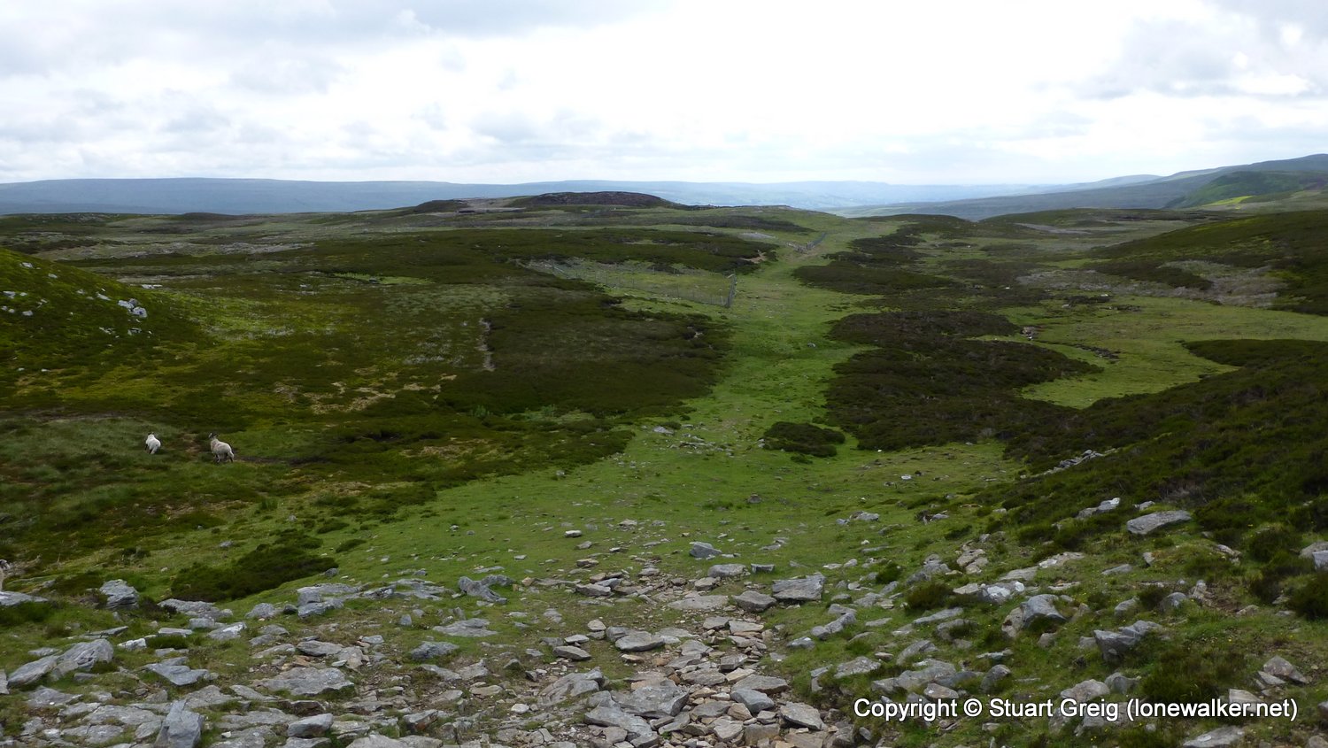
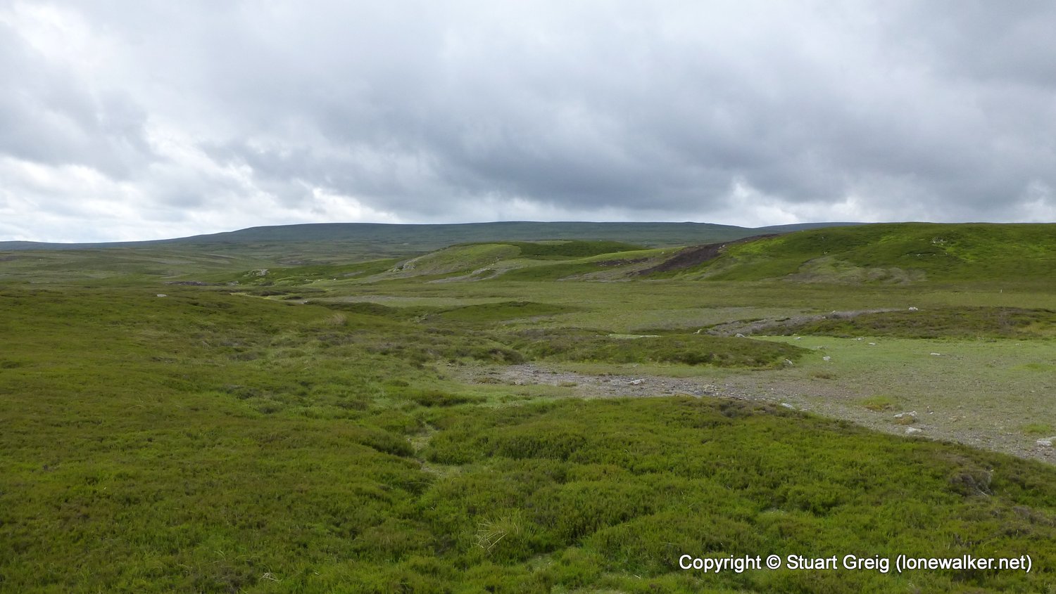
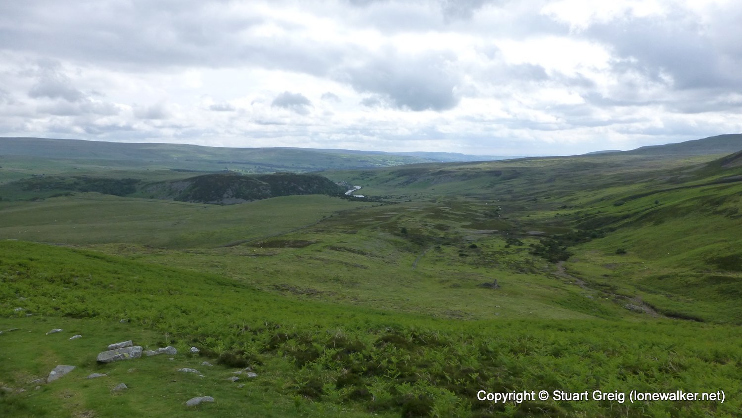
Cloudy for most of the walk, but warmed up well towards the end. A circuitous route around the front face of this lovely looking fell, following the River Tees on the opposite side to the Pennine Way path and what a lovely track it is. The summit is wide and varied with lots of little humps. The trig point is well positioned beside a lovely tarn, thick with gulls and other birds. Great views from the trig point and then a charming descent back to the Pennine Way path and the route back to the car.
Date: 2016-06-22
Start: Forest-in-Teesdale Finish: Forest-in-Teesdale
Distance: 7.2 mls, 11.59 km
Height Gain: 900 ft, 274.3 m
Start Time: 08:25 End Time: 11:00
Duration: 02:35
Ave Speed: 2.7 mph
Region: Northern Pennines
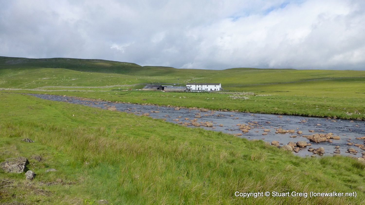
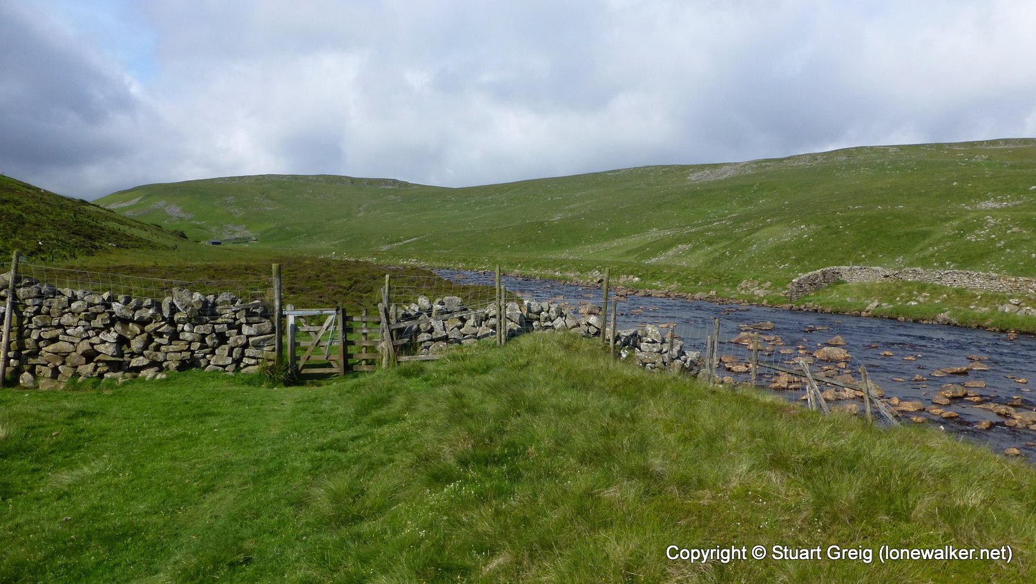
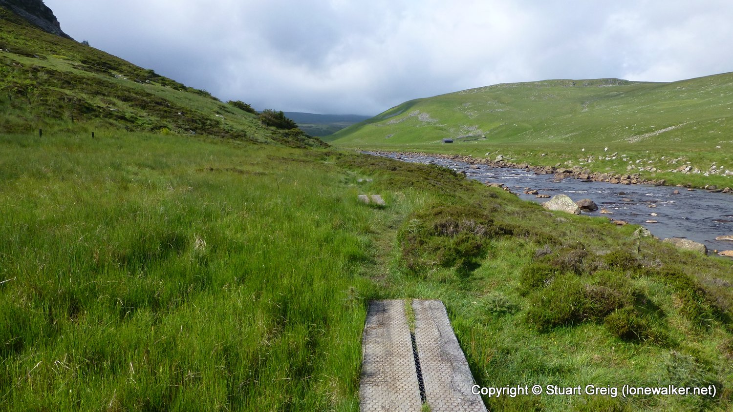
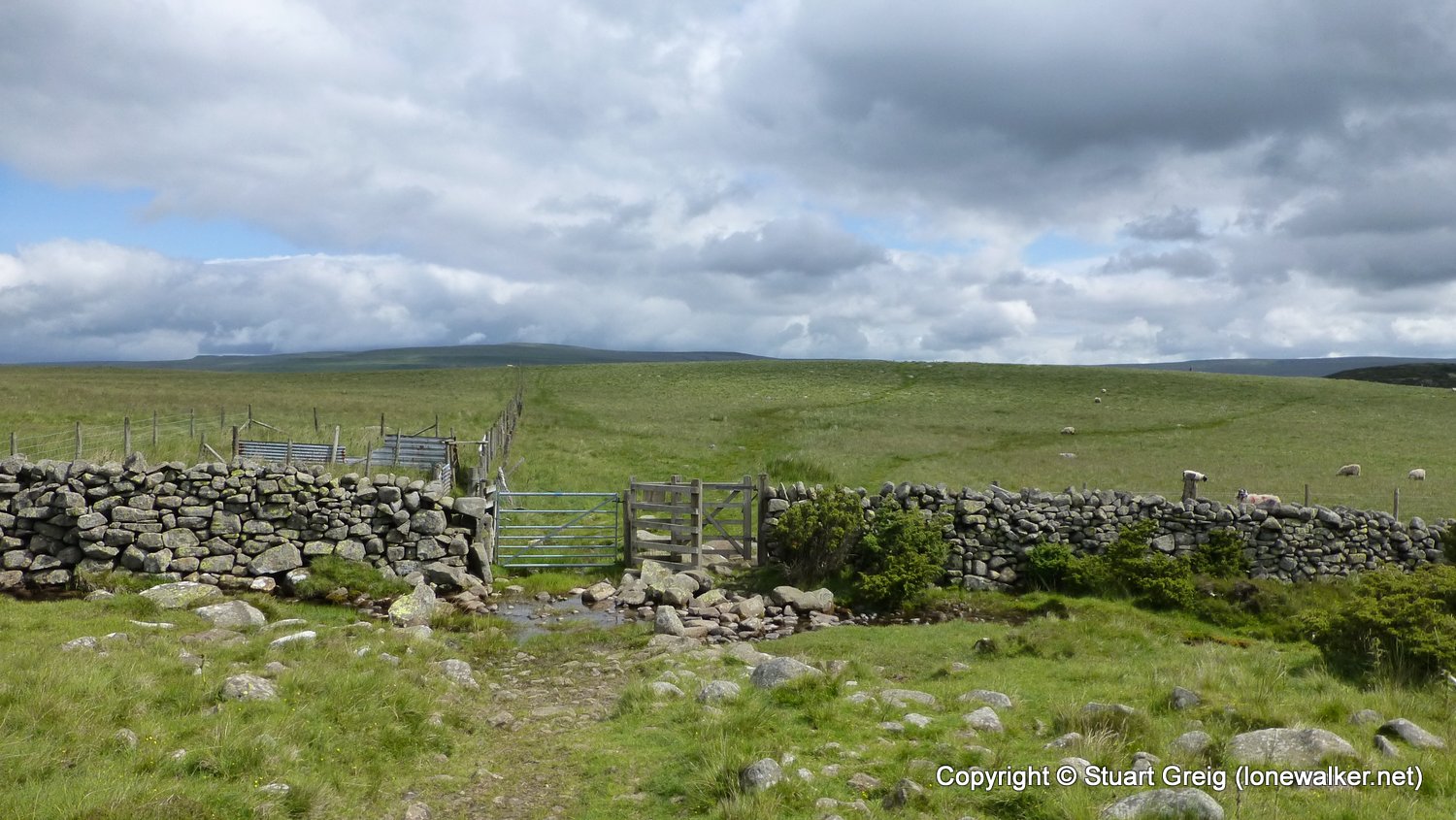
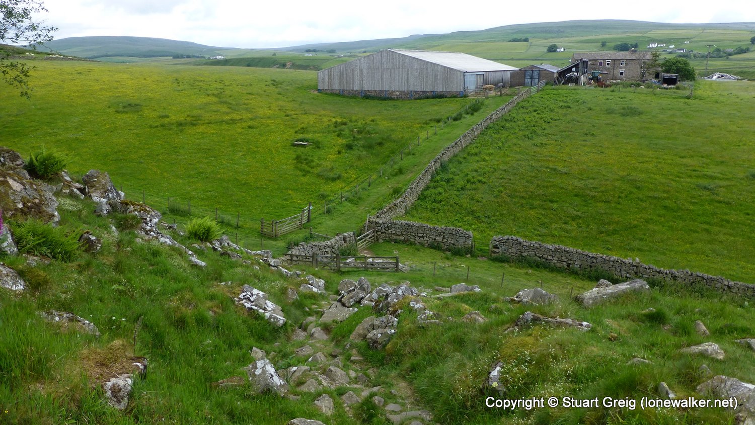
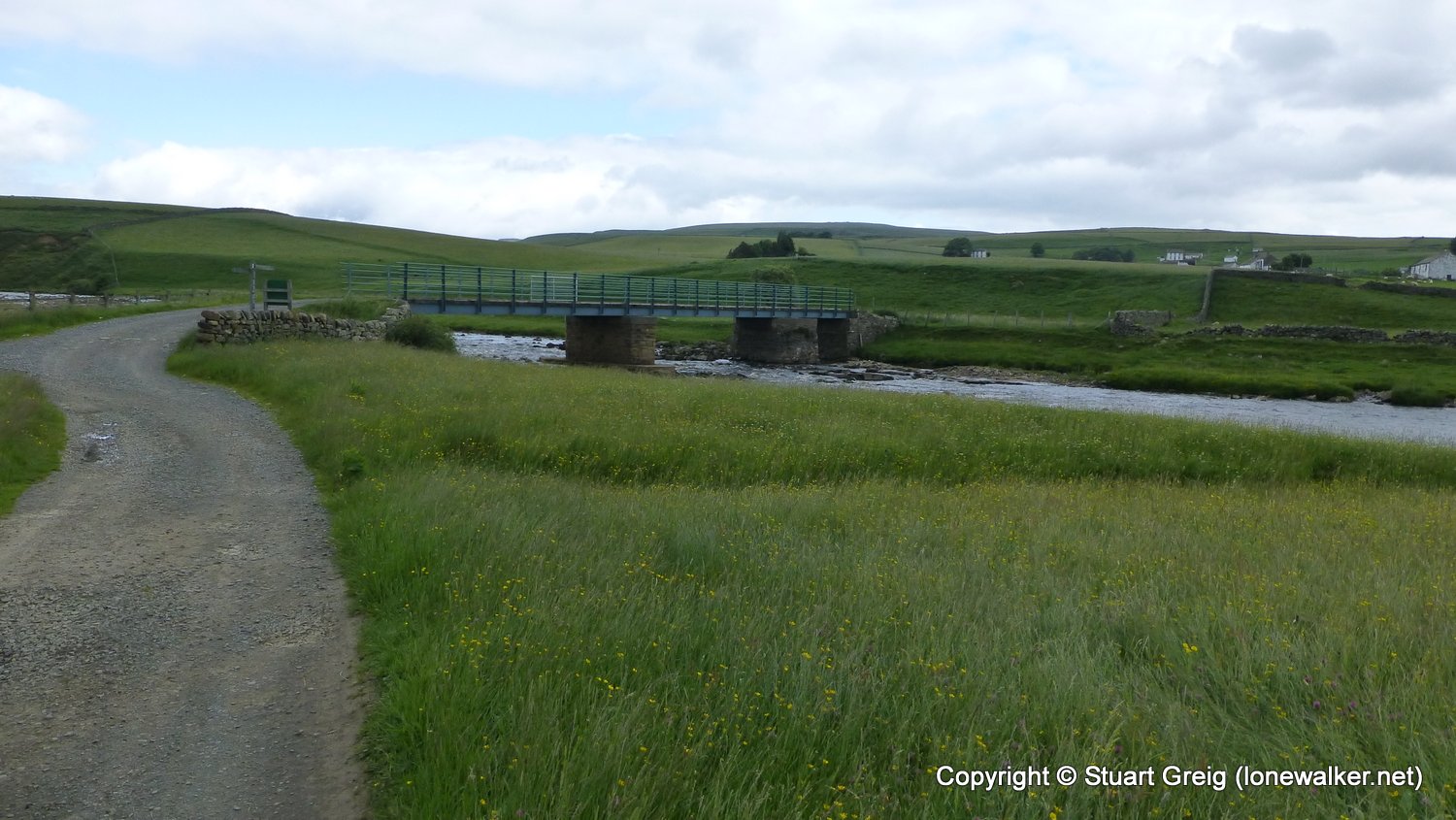
Route Description: Forest-in-Teesdale, Cronkley Bridge, High House, beside River Tees, Merrygill, Man Gate, Cronkley Fell, Birk Rigg, Cronkley Farm, Cronkley Bridge, Forest-in-Teesdale
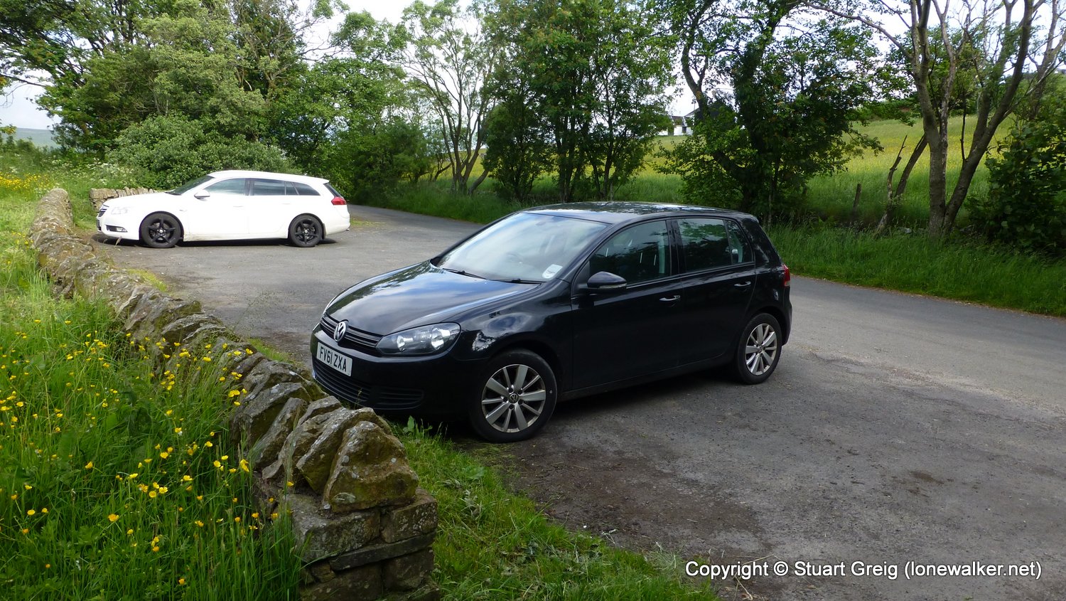
Parking Grid Ref: NY 86720 29810
View Parking space in: OS Map or Google Street View
Walking with: Alone
Long Distance Path:
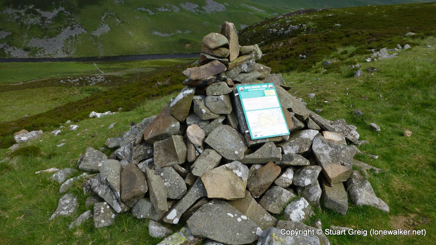
TP6442 - Thistle Green (Good condition)
Click any image to open the full screen photo gallery
 surrounded by screaming gulls")


Walk Name: Burnhope Seat
Date: 2016-06-21
Distance: 14.7 mls, 23.66 km
Height Gain: 1900 ft, 579.1 m
Walk Name: Nettle Hill Day 1
Date: 2016-07-22
Distance: 5.8 mls, 9.33 km
Height Gain: 1100 ft, 335.3 m