30th April 2012 – The Storr to Portree: 9.7m – 2,000 ft – 4 hrs 00 mins
Day three dawned with a slight change in the weather; overcast with distant blue skies and a chill wind coming in from the north, which suited my direction of travel at least. It was a shorter day today, and with hindsight I was glad I’d done the long route yesterday, instead of trying to put it off.
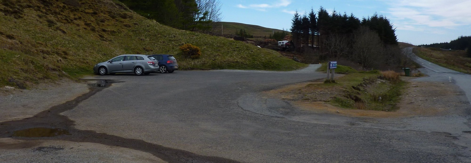
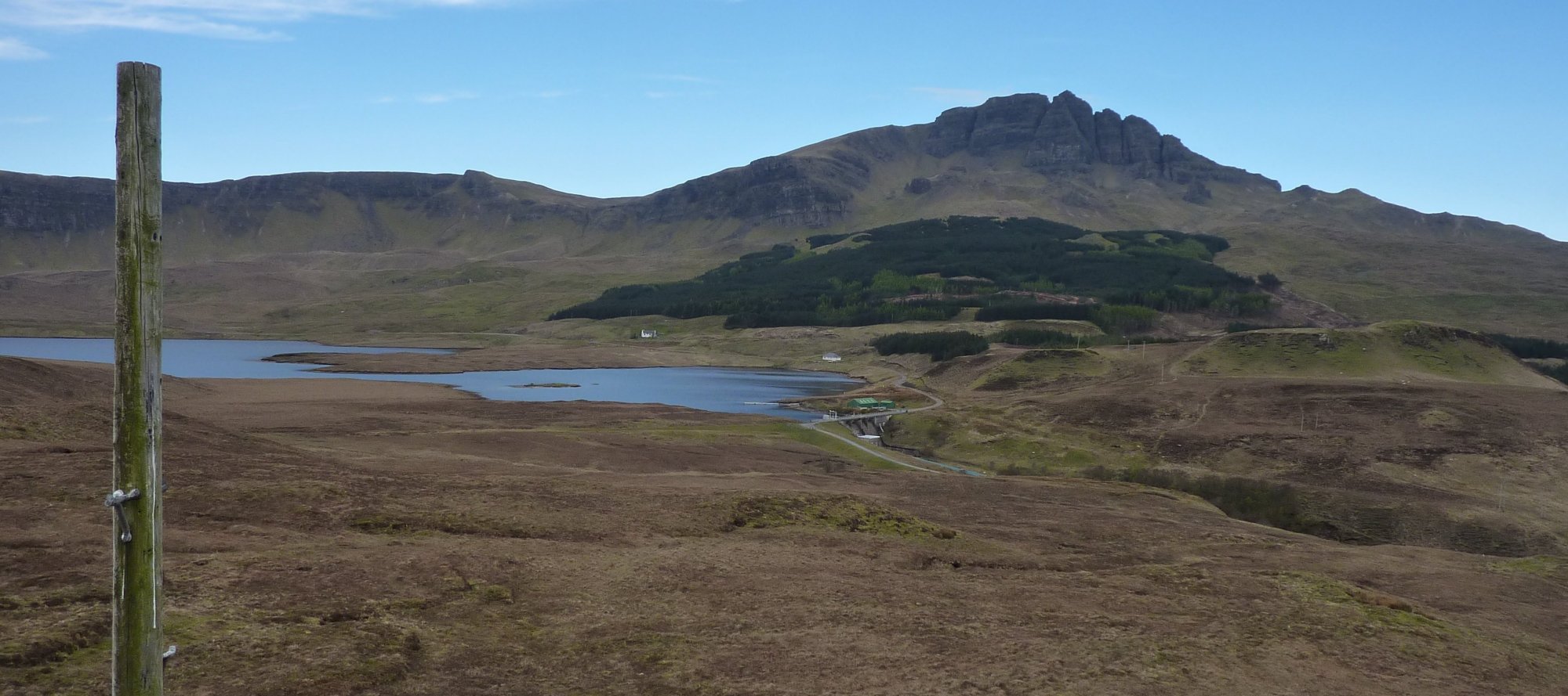
We drove back to the Storr car park and I got booted up in the cold wind, wishing I’d remembered to stick my Paramo trousers in the car when we’d left the croft. It was about 7C which is cold enough to justify them in my mind, plus they are waterproof and I was sort of expecting to get rained on at some point along the walk, based on the cloud cover and wind speed.
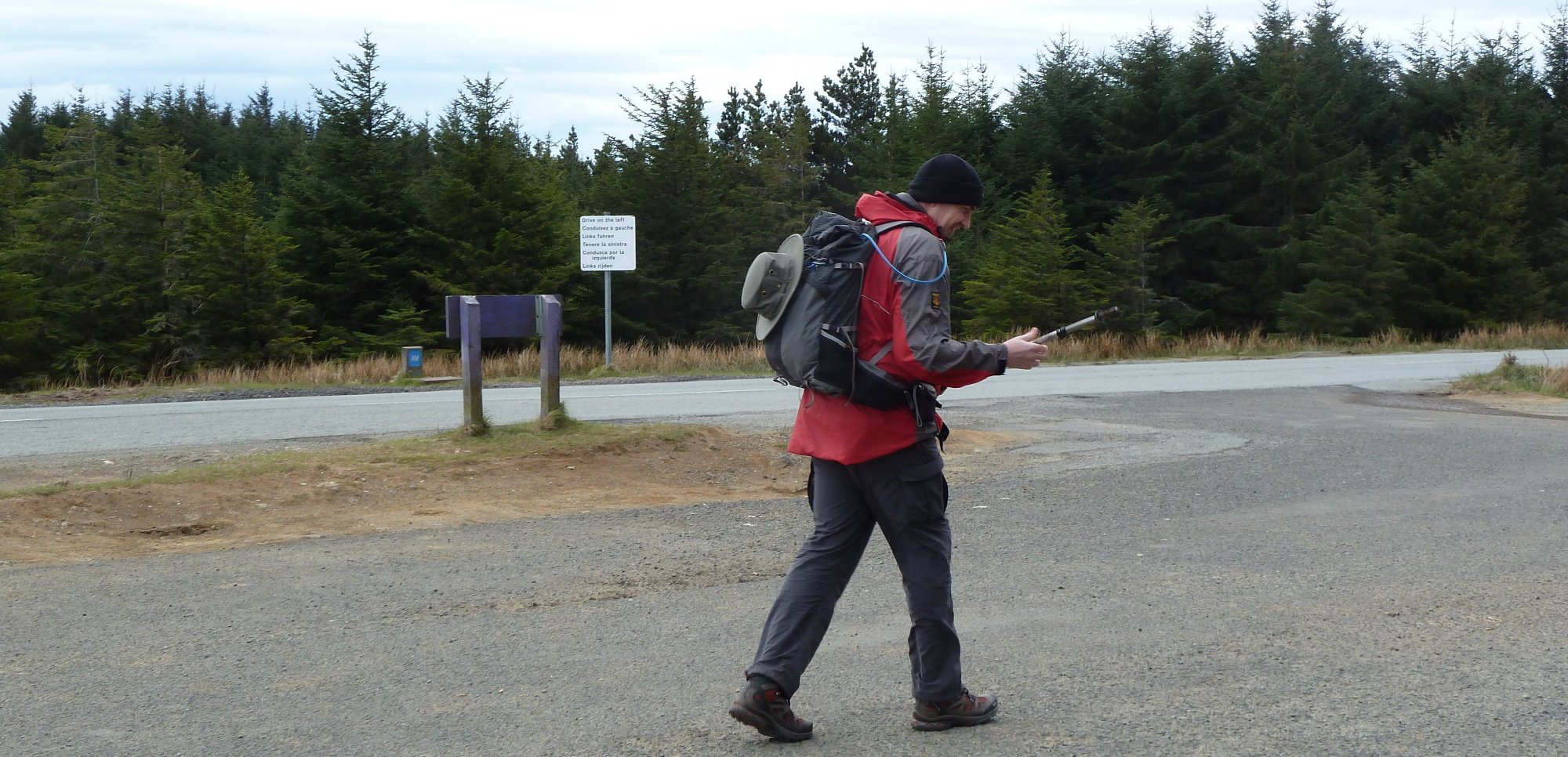

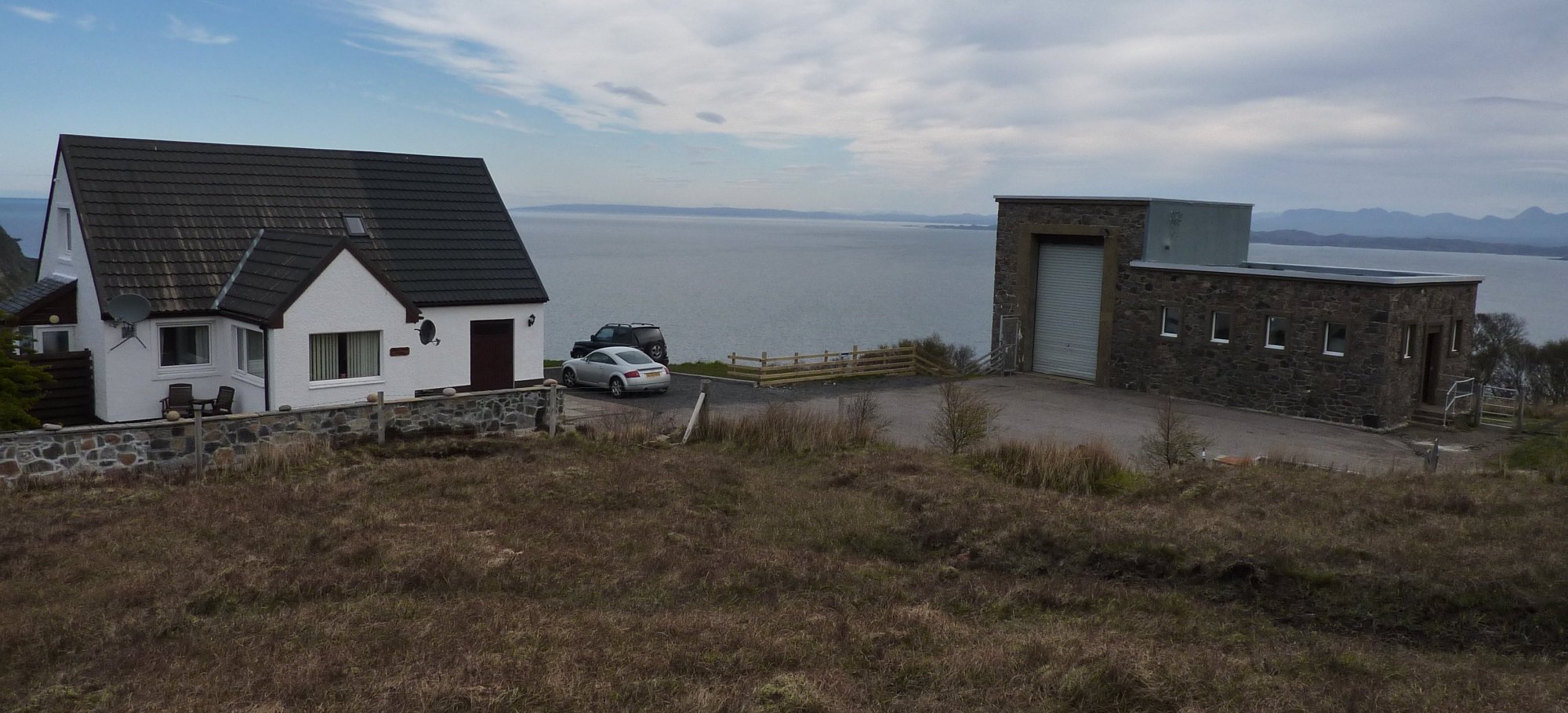
I set off down the road clad in baselayer, Paramo jacket and warm hat. I cut the corner on the A855 by hopping over the Armco and descending the grassy slope beside a fairly new-looking house, onto the access road for the Bearreraig power station. I crossed the bridge over the end of Loch Leathan and soon came to the house at the end of the road. The path seems to have been diverted around the house; the old gate now has PRIVATE painted on it and a bright yellow FOOTPATH sign points you around to the right.


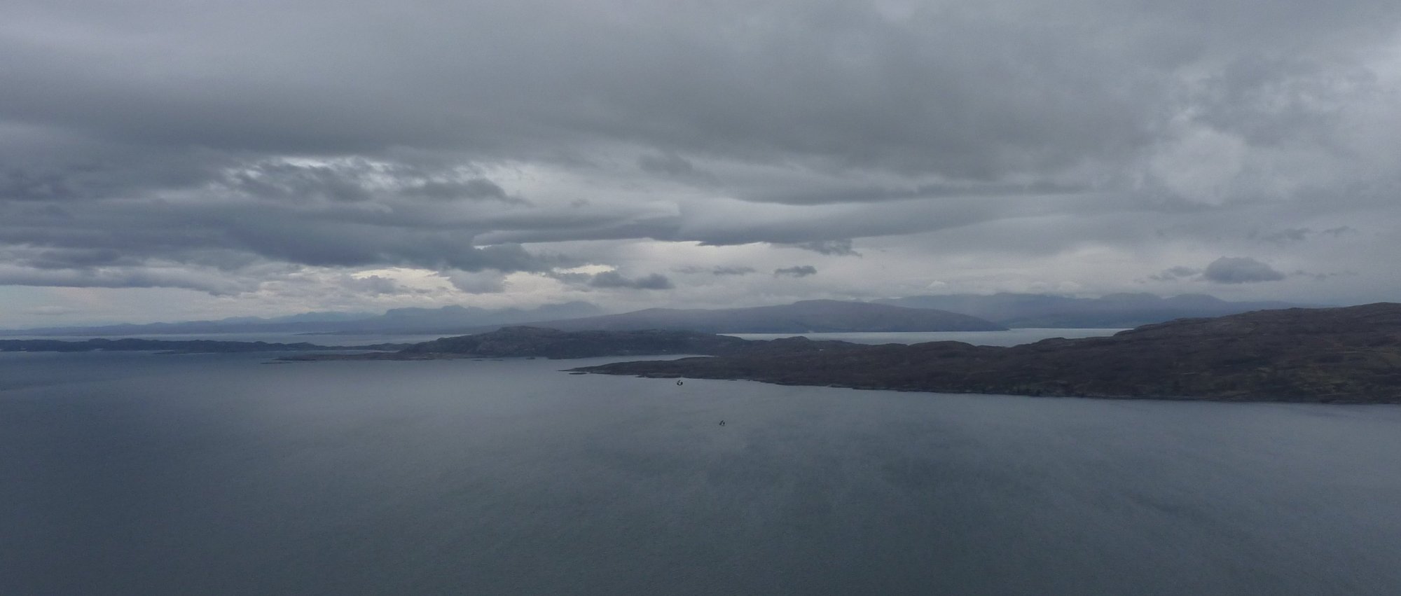
A quick look over my shoulder revealed a great view of the Storr, with deceptively warm-looking blue skies behind it. I can assure you that I felt much colder than this picture looks.
A clear path leads around the house, to meet a Scotways wooden post that points you up towards the fence line on the left. I ignored this though and took the route advice from the WalkHighlands site, which recommended heading for the post on the nearby hummock.
It got colder and windier as I climbed away from the house, up to the grassy hummock (186) with the wooden post sticking out of it. Although there was a Scotways signpost beside the cottage at the power station, there is no path on the ground to follow for any of the subsequent description. There are sheep tracks all over the place and a quad bike track that appears and disappears, but you’re pretty much on your own, following your nose.
The route advice today was stick to the high ground as much as possible and this was relatively easy to do, as a vague ridge line stretched away to the south east. A number of bealachs separated the various high spots and in wetter times these would be very wet and boggy; today however they were fairly dry and although I was carrying them I didn’t feel the need to deploy the gaiters at all today. The boggy cols were more squelchy than anything else and springy and enjoyable in places.
From the wooden post the views of the Storr were even more impressive. The Old Man however, was difficult to spot as it wasn’t silhouetted at all and became lost amongst the rocky face of the Storr. I followed the obvious ridge, mostly southwards, away from the post. The terrain on the ridge was firm and little sheep tracks ran along it for additional guidance.
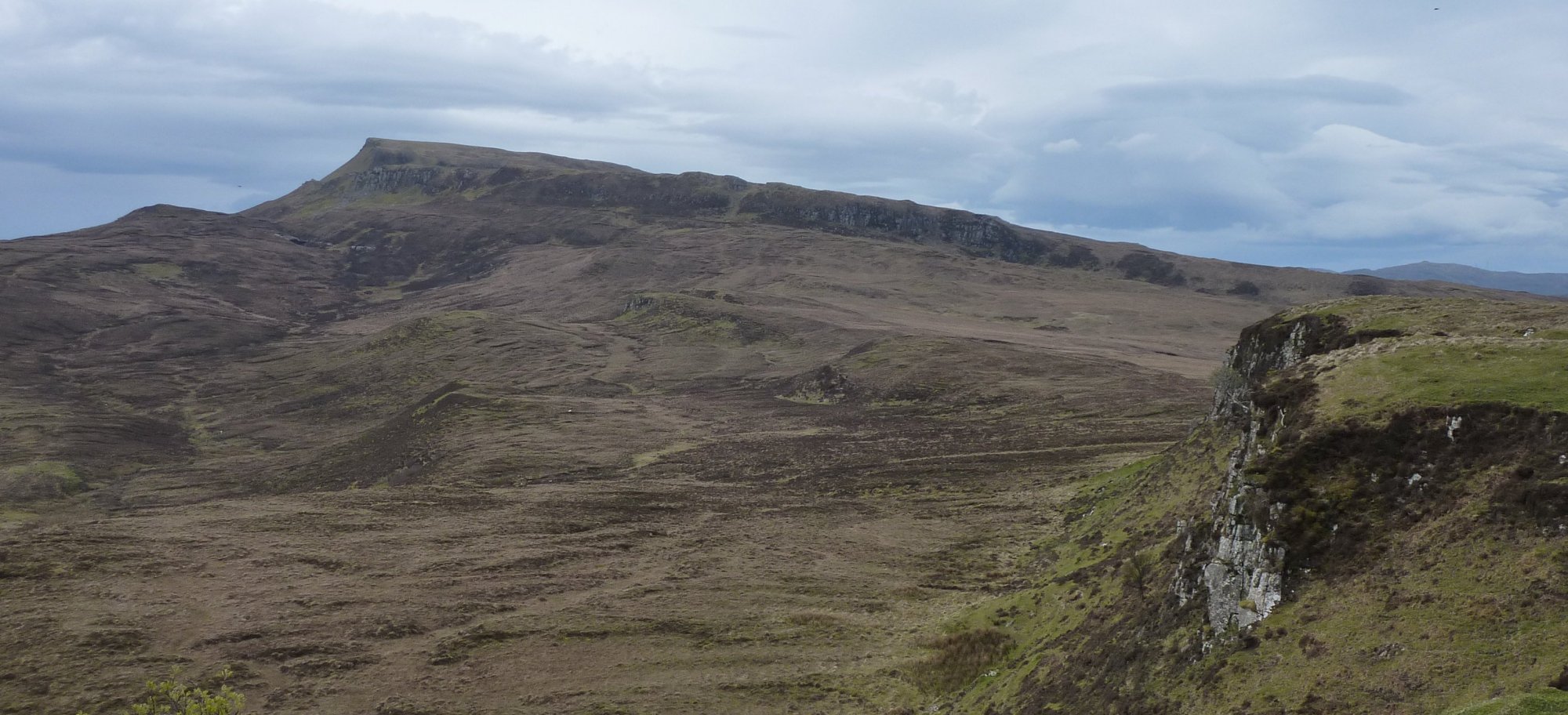
At the end of the ridge I had to drop down to what would also be another long stretch of boggy ground, heading towards the craggy northern face of Fiurnean. It too was pretty dry and I managed to skip and jump across the worse sections. The moor is well-trodden by sheep and they seem to use the same line as I wanted – there were plenty of thin tracks all going in roughly the right direction.
As you approach across the lower level of the moorland, the gully up the face of Fiurnean is the most obvious route up onto the next section of high ground; it’s steep, but not difficult. If in doubt, head for OS grid reference NG 51213 49969.

At the top of the gulley I headed left, sticking to the edge of the escarpment, which gave great views across to Raasay, Applecross, Torridon and probably beyond. The stark white mountain tops from yesterday were mostly hidden in cloud today though.

There is a final steep grassy ascent up to Fiurnean, which took the wind out of me and also put me firmly in the grip of the growing northerly. I stopped to add a mid-layer beneath my coat – mostly as a wind stopper – and this helped immensely, as did the gloves I finally gave in to wearing.

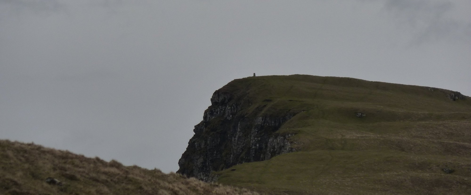
From the summit of Fiurnean the ground improves significantly I found myself walking on short cropped grass, almost like a bowling green compared to the previous couple of days. Another climb up the grassy trod saw me at the summit of Craig Ulatota. The pointy tip of the Old Man of Storr could now be seen against the distant skyline – but even the Storr was beginning to look cold and gloomy, with more and more cloud cover coming in.
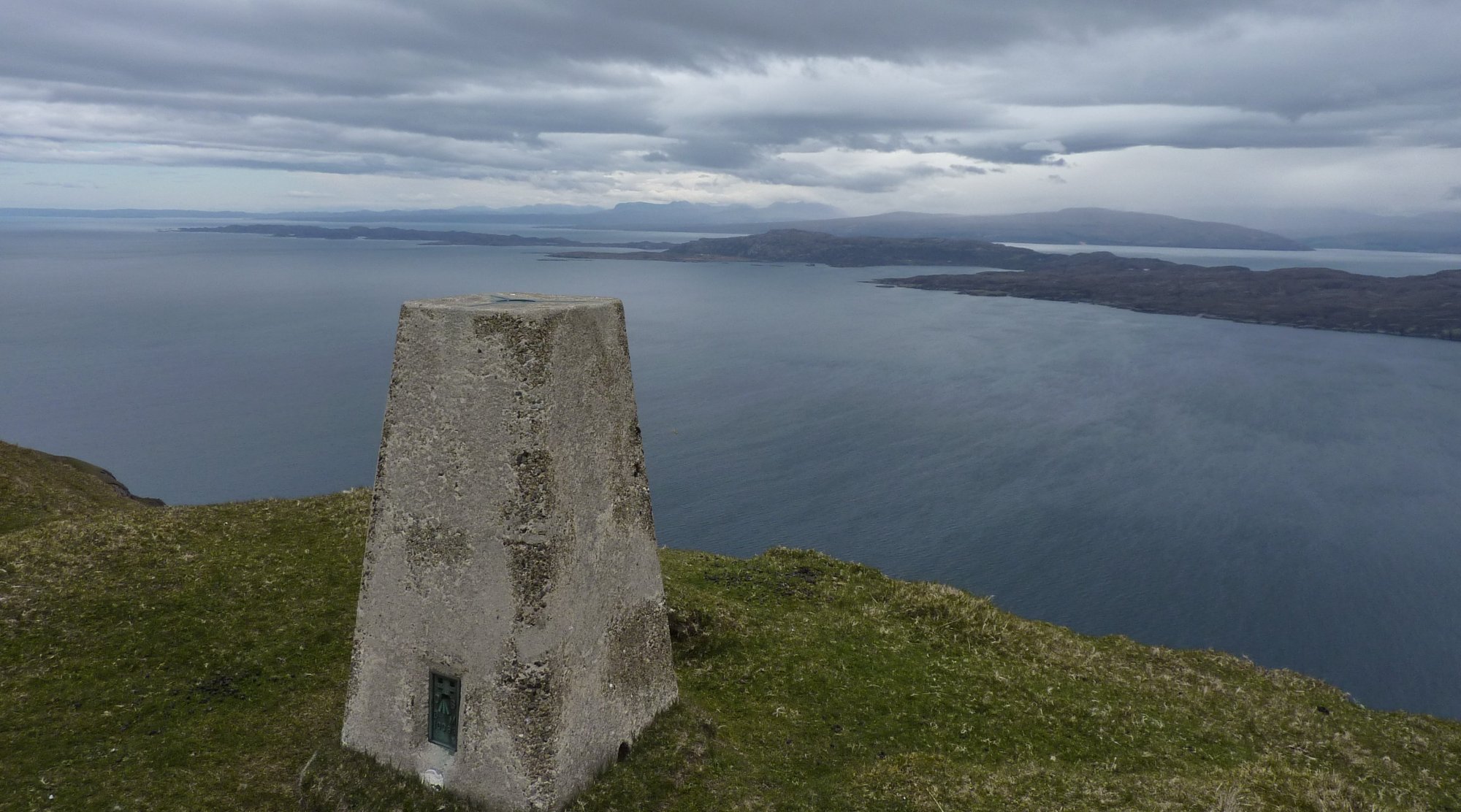
Another steep descent and a ferocious climb and I’d reached the trig point at Sithean Bhealaich Chumhaing. I took a few photos of the summit and then found shelter in a craggy holly on the leeward side of the hill. Just as I sat down my worst fears seemed to be realised, it started to rain! Fortunately it was just kidding me, it wasn’t proper rain, just a couple of drops that I thought presaged a bigger onset, but all it managed were those few spots before it died out for the rest of the day. I managed to get a good phone signal to ring home and send a couple of texts.


The good green turf continued for a while beyond the trig point, but soon gave out to thin, low level heather and more, mostly dry bogs, as I approached Bealach Cumhang. From here on I admit to straying off my intended line somewhat. I didn’t lose the path, there wasn’t one, but I did end up following a sheep trod that was going in just slightly the wrong direction, enough to lead me away from the optimal descent route off Creag Mhor.

I passed close to another walker, like two ships passing in the middle of the ocean – not a path for miles and another walker heaves into view. We waved as we passed, he heading north west into the wilderness, for reasons known only to him.
The hillocks and hummocks confused me and without a path for guidance I ended up pulling out the phone and loading the route into MM Tracker. This is like Memory Map, runs on Android and is much better and much cheaper! I used the GPS to lead me to a likely looking descent spot, far enough away from the crags to be safe, but without adding too much distance to the route. It still wasn’t ideal and I ended up scrambling down a steep slope covered in knee deep heather, stumbling into holes and tripping over hidden rocks.
I could see my target well below me, the Bile pastures of Portree; pleasant green fields on the coastline, nothing like what their name suggested. But they were a long way below me and I’d come a long way out of my way.

I eventually found a fence line with a stile and used this to cross to a thin path that cut down a narrow gully, steep and damp and murder on my knees, which still hadn’t recovered fully from yesterday’s punishment. This brought me to Am Bile and I crossed the pastures to reach a lovely stone-laid path around the base of Ben Chracaig. This reminded me of the path around Haweswater, except for the smell of salt in the air and the floating fish farms moored in the Sound.
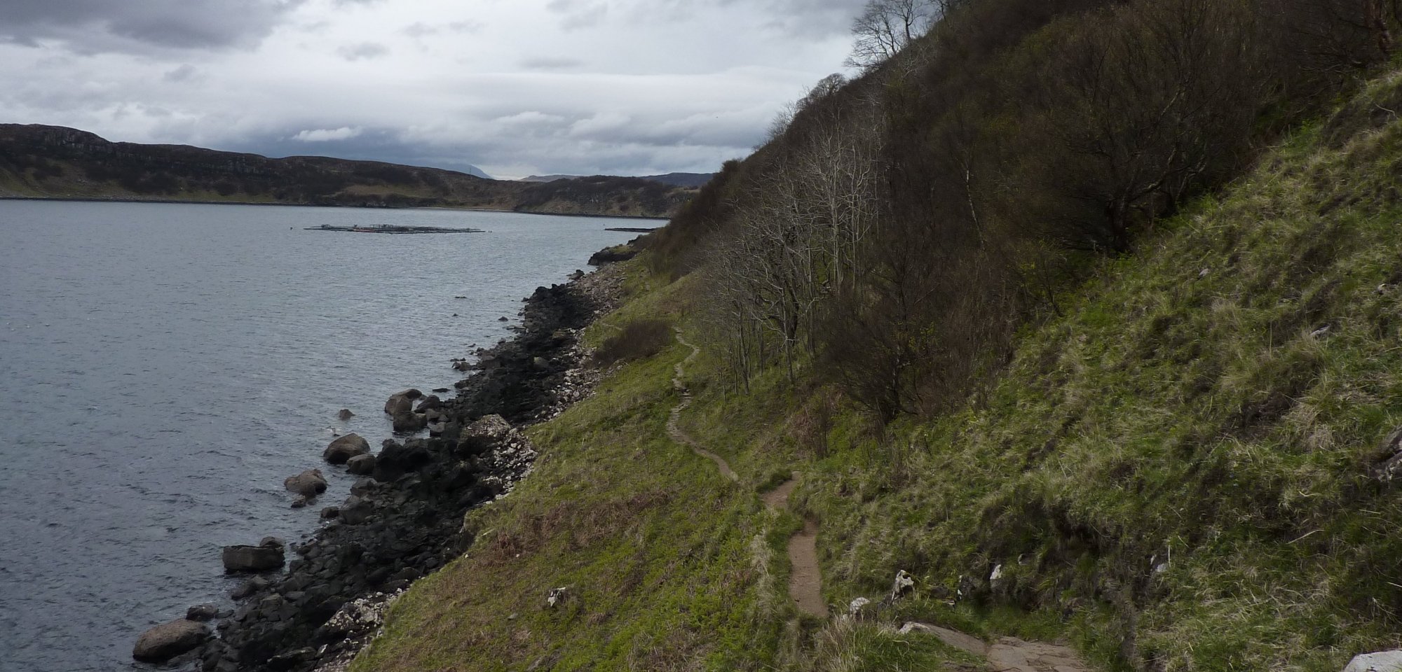
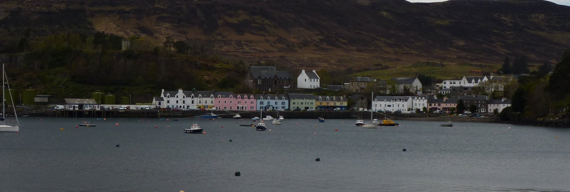
The path got better as it approached Portree and I began to see day trippers doing the circular walk around Ben Chracaig. As I arrived in Portree I looked for a likely shop for a sausage roll or pasty, but no such luck. Lots of chip shops and little cafes, but not a bakery that I could see.
I left the town, along the main road and after about a mile or so arrived at the Aros Experience, a rather busy looking place, but where I’d arranged to meet Roger. He wasn’t around, but I found the car and eased my feet out of my boots and into my trainers – much better. A minute or two later Roger arrived, from taking the dog for a wander and we headed back to Portree village to find some lunch.


We arrived back in the town at about 1pm, which is obviously school lunch hour, because everywhere was packed with kids. Even the supermarket was 10 deep at the checkout with kids, the chippies had queues of kids coming out the doors and every corner was awash with them; so we called it quits and headed back to the croft.
We had a whole afternoon relaxing and generally mooching around the croft, mostly waiting for 8pm and the Big Match kick off. Possibly the most important Manchester derby game this century, certainly one which would change the course of the season for one team or the other. We had intended to go to the pub to watch it, in fact we’d already checked with the Isles Inn that they were showing it and that we could bring the dog in too. In the end though the mutual decision was that we were too knackered to drive the 30 minutes there and back and sit in the rather uncomfortable bar area to watch the game.
Instead, we spent a frustrating hour or so trying to receive a Radio 5 Live signal on the radio in the croft. When that failed we went next door and begged the neighbours for a lend of their radio. Iain was most obliging and managed to fish out two portable radios for us to try. None of them worked. We were devastated. We considered sitting in the car for 2 hours, but quickly dismissed that as being a little too extreme. In the end Roger spent another 45 minutes jury-rigging one of the radios; we moved it to the top most point of the croft and rigged a speaker that ran most of the way down the stairs, pointing into the little lounge where we could at least sit in front of the fire and enjoy the comfy chairs.

It was well worth the effort too, not a great game, but a great result for us City fans. In hindsight, we didn’t miss a great spectacle; if we’d won 6-1 again then maybe we’d have regretted not going, but it was a close game and too important to be open and high-scoring.
It was quite late then, when I finally went to bed, late at least for me when walking, it was gone 11pm. The whisky we’d had to celebrate the win did its usual job of sending me soundly to sleep without any problems.
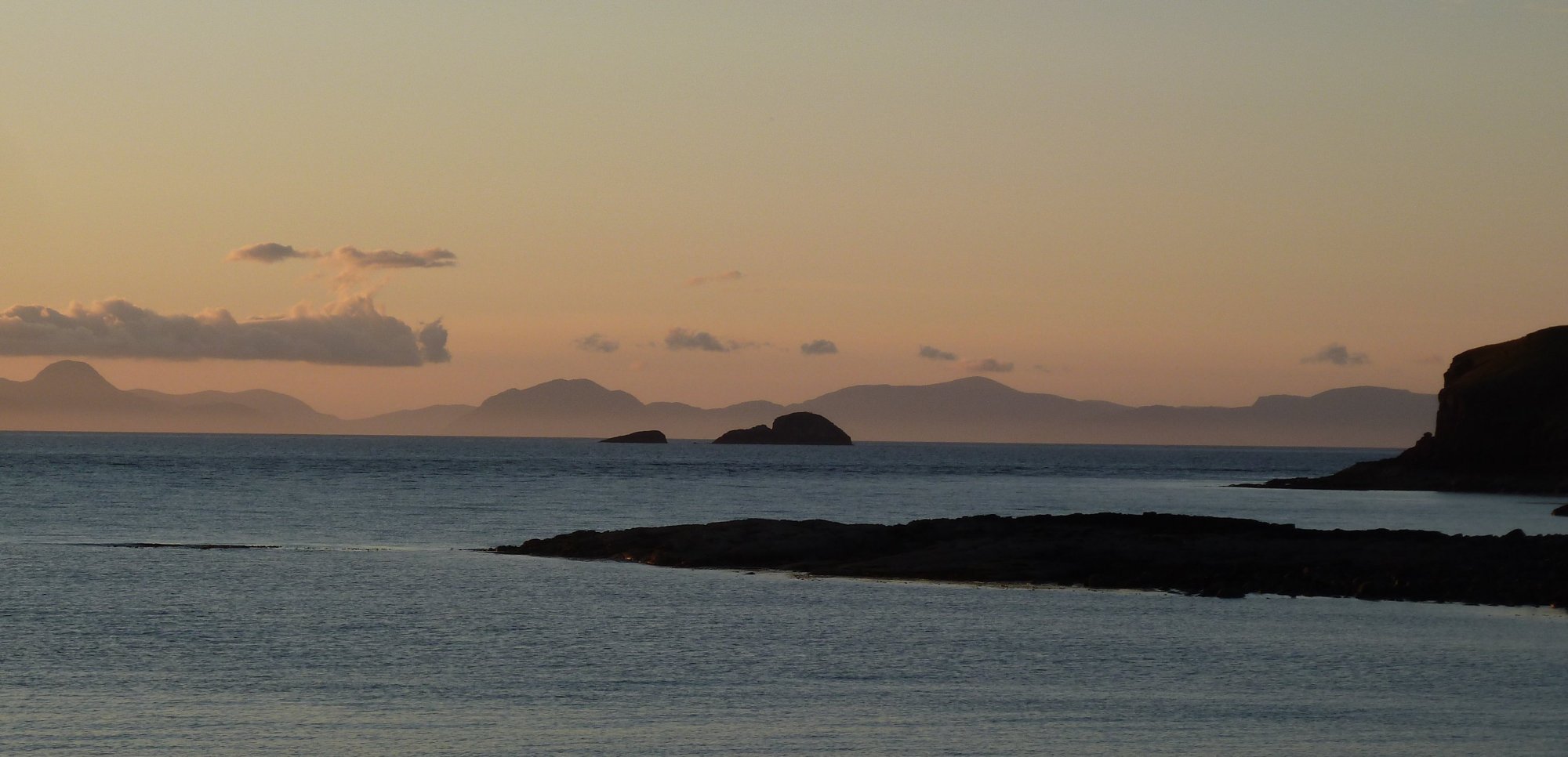
And finally… here are a couple of photos Roger took in the evening.