It was now or never really. I’d been waiting until as close to deadline as possible to conduct a comprehensive village survey for the Pennine Way guide book update. I figured that there was no point doing a survey months ahead of the publication, as B&Bs close, new businesses open and the information needed to be as timely as possible for the next edition. I set out on Friday evening after work with the intention of visiting as many of the towns and villages as I could before midday on Saturday – at which point I would head to Alston, where I still needed to walk the section between Alston and Burnstones.
When I walked from Garrigill to Knarsdale in December last year I used the South Tyne Trail, which runs sedately along an old railway track while the Pennine Way huffs and puffs through fields, over stiles, around buildings, along a road and covers about an extra 1/2 mile alongside it. At the time, it was wet and windy and I took the path of least resistance, but also because I wanted to do both routes and judge the relative merits of them each.

So, back to Friday evening, I visited Edale and Hebden Bridge and spent some time walking around them, making notes, checking services and accommodation against the book and looking for any new establishments that may have sprung up in the period since the last edition was written. I eventually came up with a system of walking through the town with the Trailblazer town map on my Android tablet in one hand and my phone in the other, running a voice recorder app. I would describe the places I found and record the details, checking the map as I went. It seemed to work OK and I supplemented my notes with the occasional photo from my phone just to back up some scrap of information.
By 9pm I’d finished Hebden Bridge and I set out for Haworth. I’d picked a remote looking car park, above the town, in which I intended to park the car and sleep in it overnight. My wife thought I was mad; but I countered that B&Bs aren’t too happy with you turning up at 10pm and leaving again at 6am and I needed to make the best use of the weekend, so late nights and no long lie-ins for me! The car park above Haworth was huge and empty when I arrived, but I was soon joined by a couple of noisy vehicles filled with the youth of the village who proceeded to make as much noise as they could for the next couple of hours. Other than making some aggressive charges towards my car with headlights blazing, they didn’t bother me and in the small hours they disappeared.
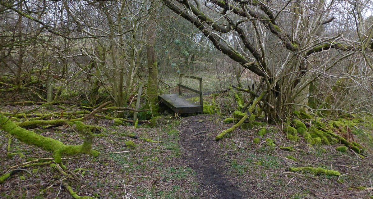
Around 6am I bagged a nearby trig point and drove down into the town to survey it. Haworth is an old village, quite lovely and filled with gift shops and Bronte-centric establishments. The next few hours saw me visit and map; Airton, Gargrave, Malham, Horton, Hawes, Hardraw, Keld, Bowes, Middleton and finally arriving in Alston, just in time to set out along the Pennine Way. The day had been dry, but misty and the footpath was completely sodden, ankle deep in mud and not a pleasant walk. I slipped and slid and skidded across 5 miles of fields and pasture and then paced sedately along the South Tyne trail back to Alston. I pondered again on the logic of continuing to use the current Pennine Way route along this section when a vastly superior path is available.


The cost of maintaining the current route could be significantly reduced through the adoption of the South Tyne Trail with the added benefit of an easier path, less mud, fewer farms to negotiate, a road stretch avoided and much easier navigation. If the STT were adopted, walkers would visit Alston village by default, rather than having to divert into it as they do at the moment. In truth many walkers are probably stopping here and the rest want to visit to stock up on provisions, but it still means you have to walk into the village, then turn round and walk out again, to pick up the path over the bridge.
I sampled the wares in the local chip shop (excellent) and then tried to find a seat in the Cumberland Hotel for a while, but it was Saturday night and the place was packed – with all the tables either filled or reserved. I spent the rest of the evening in the car, parked up in a secluded car park straddling the South Tyne Trail, watching films on my tablet. I had a mostly undisturbed night, only being woken about 3am by the sound of voices coming from two cyclists pedalling along the STT, right beside my car window, which I thought was a bit odd.
I was a bit thrown by the change in clocks in the morning, a mostly still dark sky suggested I had time to snooze for a while, but a look at my phone told me it was already 6.30am, time to be moving. I had a cat-lick and got the car started, only to find the clock on the dash said 5.30am! Ho hum, lose it now or lose it later, didn’t make any difference. I drove back to the point on the path where I’d left the Pennine Way and returned to Alston along the STT. I headed out along the Way through some better scenery at least, beside a huge viaduct and then through fields to reach Burnstones. I scrambled up the bank and onto the old railbed of the STT and headed back to the car. Another section of the Way was complete, I’d now completed all the southern section up to the Wall.
It takes almost as long to update the maps in the book with my notes, observations and changes is it does to walk the route. I then need to update all the details of the services within the villages; opening times, menu examples, location of shops in the village maps, the list goes on. It’s a time consuming process, but I’ve loved every minute of it – the Pennine Way feels like a huge part of my life at the moment and in many ways it will be a shame to reach the end of the process. In some ways, however, I will be glad to put the book to bed and to move onto other projects that have been building up in the background. My self-imposed deadline submission is the end of April, after which I already have two walks planned; the Herriot Way (to update my own guidebook for that walk) with my old friend Tex Gore and then a fascinating 100 mile circuit of the Yorkshire Dales, along the Centurion Walk, with my good friend and now professional walker Chris (@PilgrimChris).
I walk the final, Hadrian’s Wall to Kirk Yetholm, section next week, followed by a frantic Easter weekend of map updates and final text editing. I can see the end of the tunnel now and I just hope the light I can see is daylight and not the headlight of an express train!